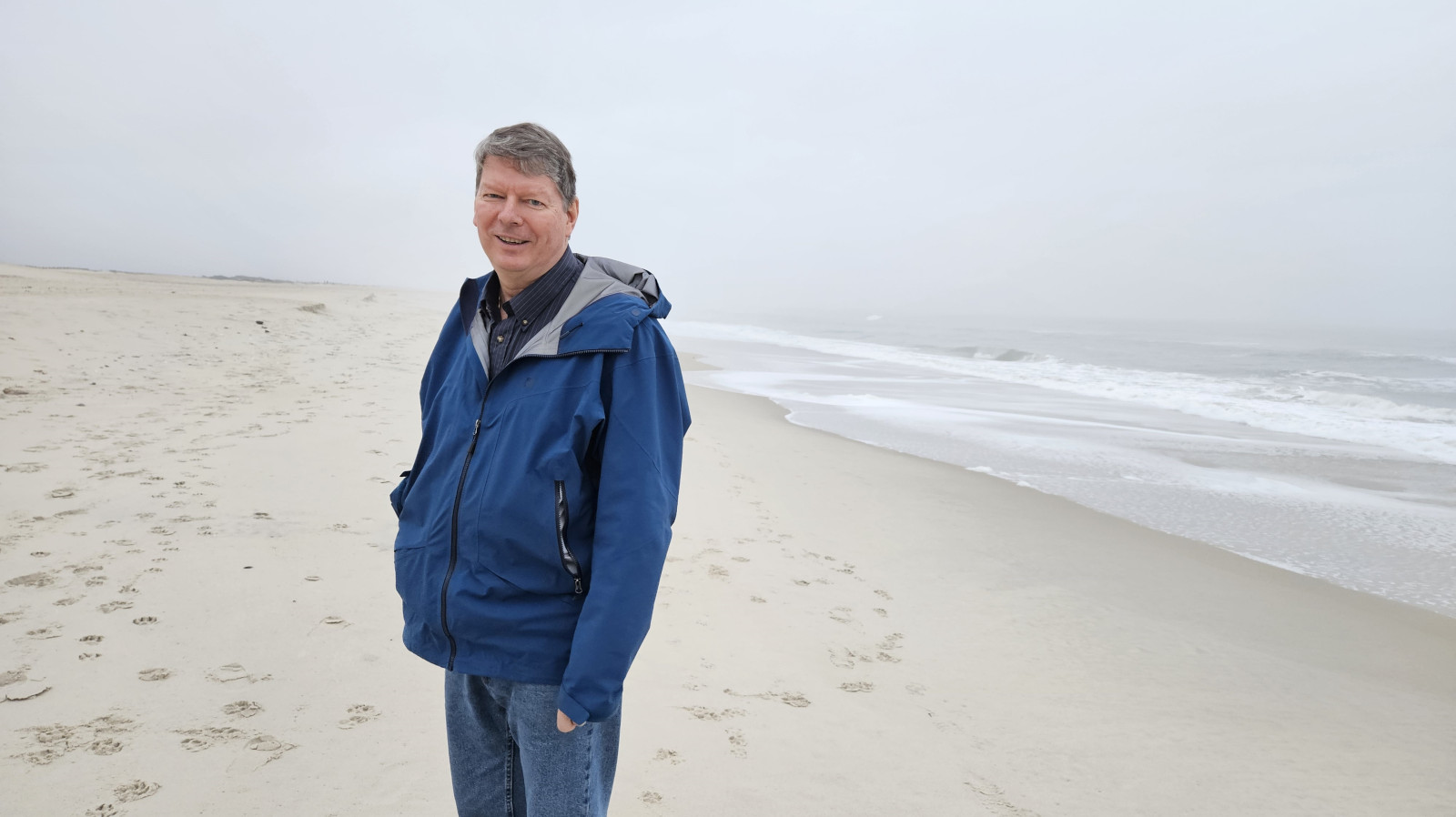
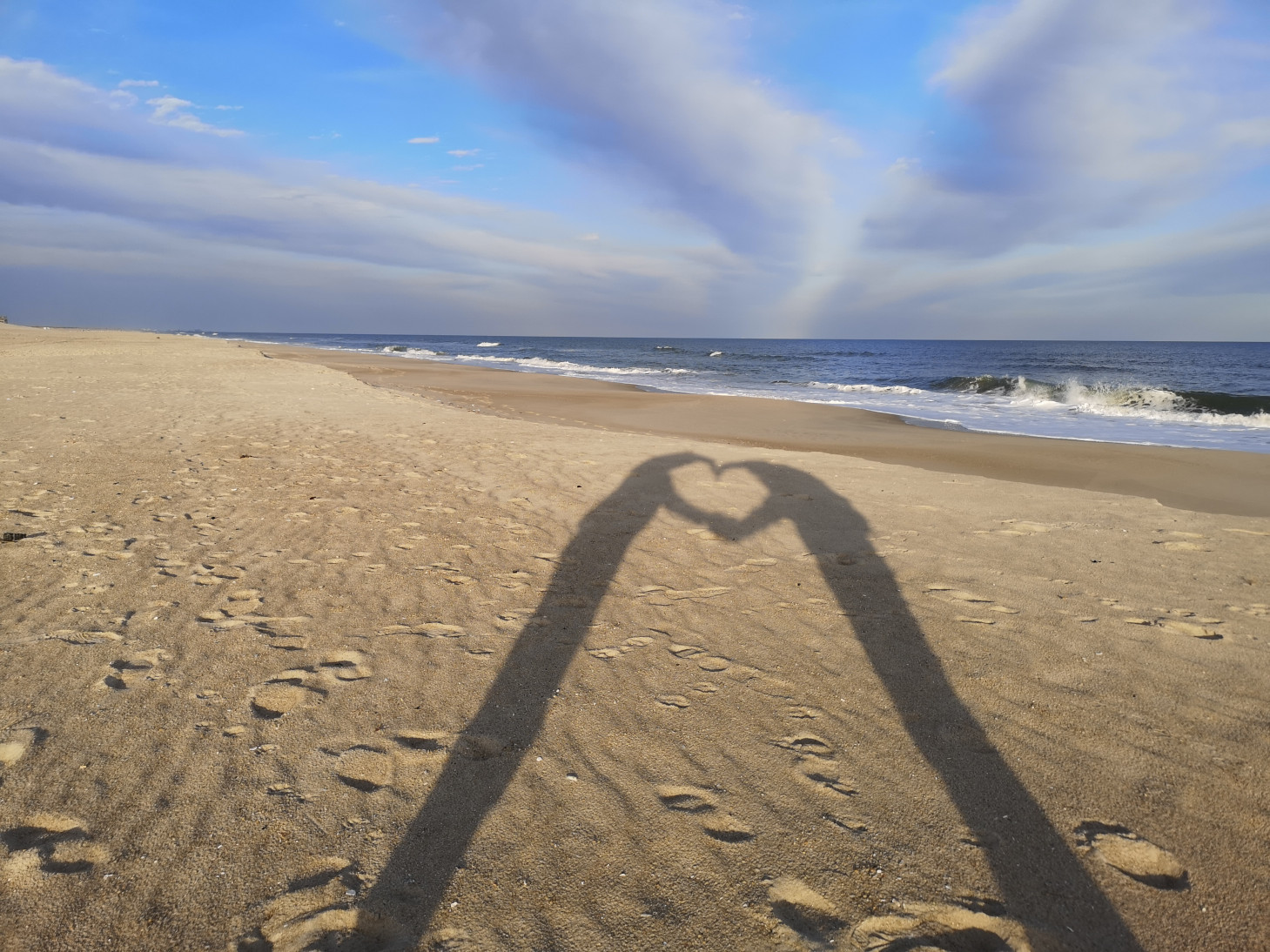
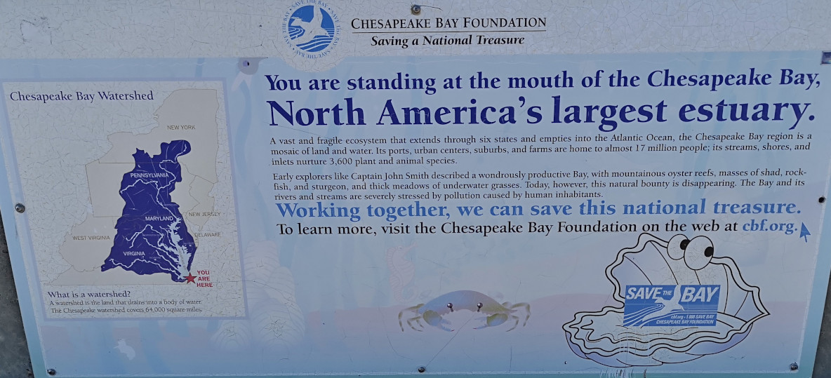
“To Stand at the edge of the sea, to sense the ebb and flow of the tides, to feel the breath of a mist moving over a great salt marsh, to watch the flight of shore birds…is to have knowledge of things that are as nearly eternal as any earthly life can be.” – Rachel Carson
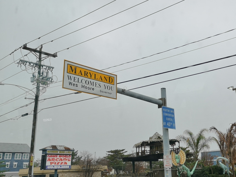
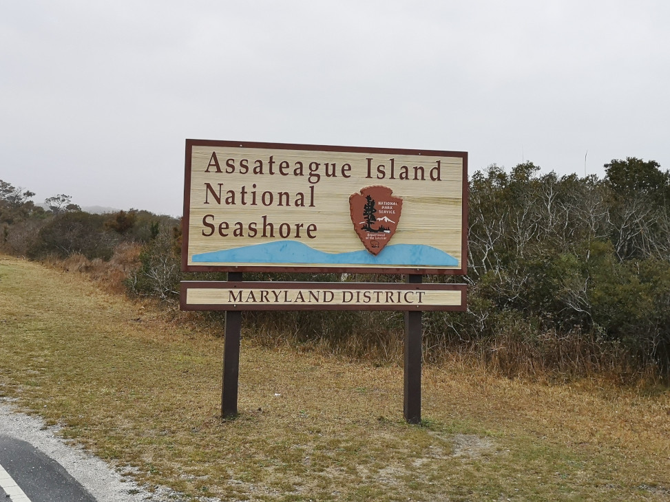
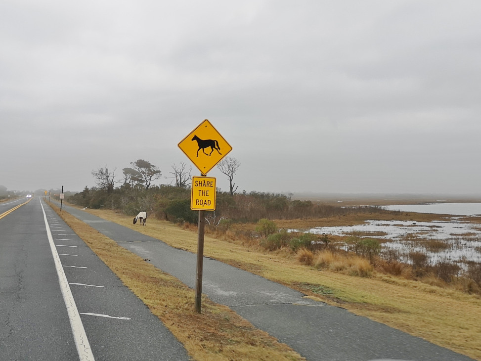
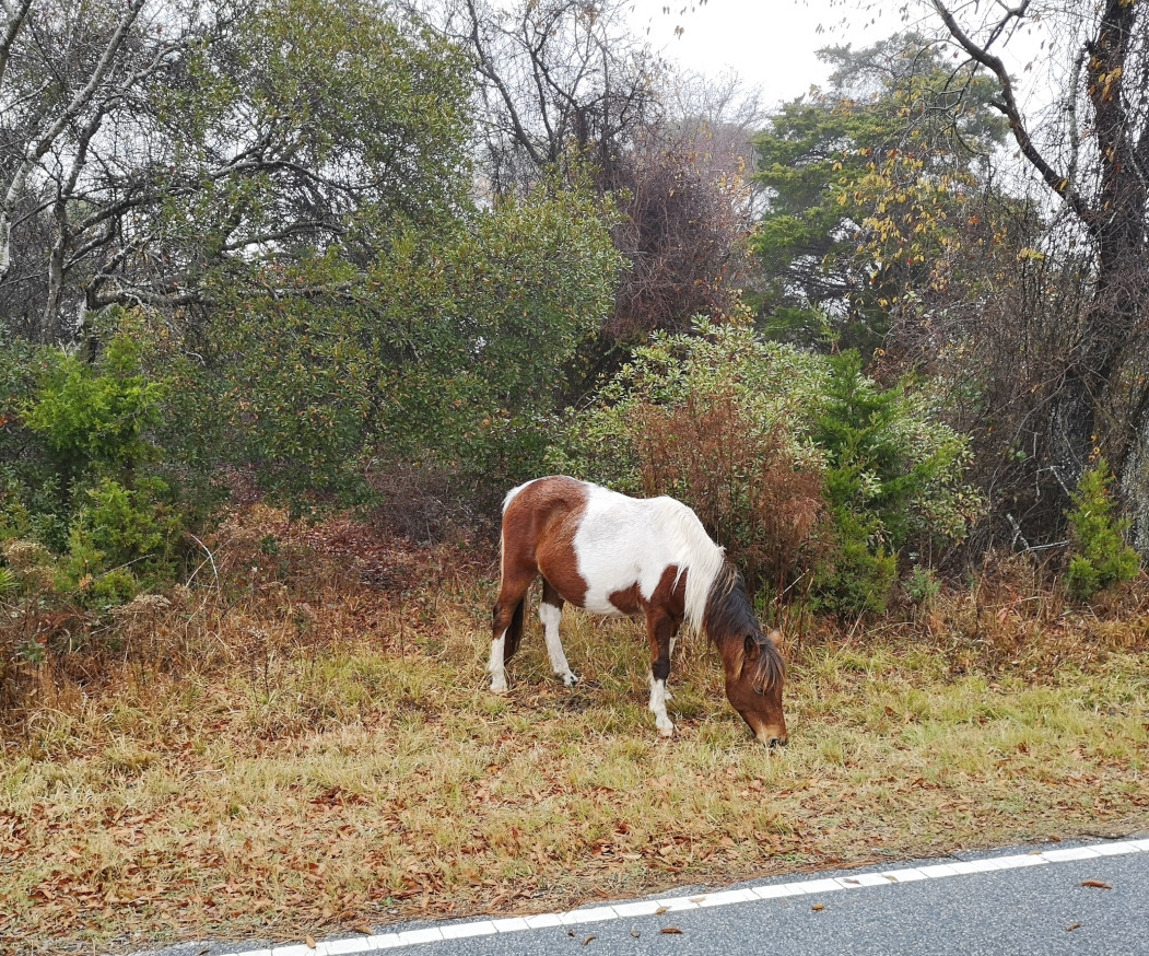
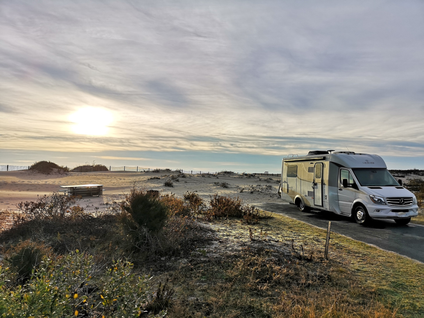
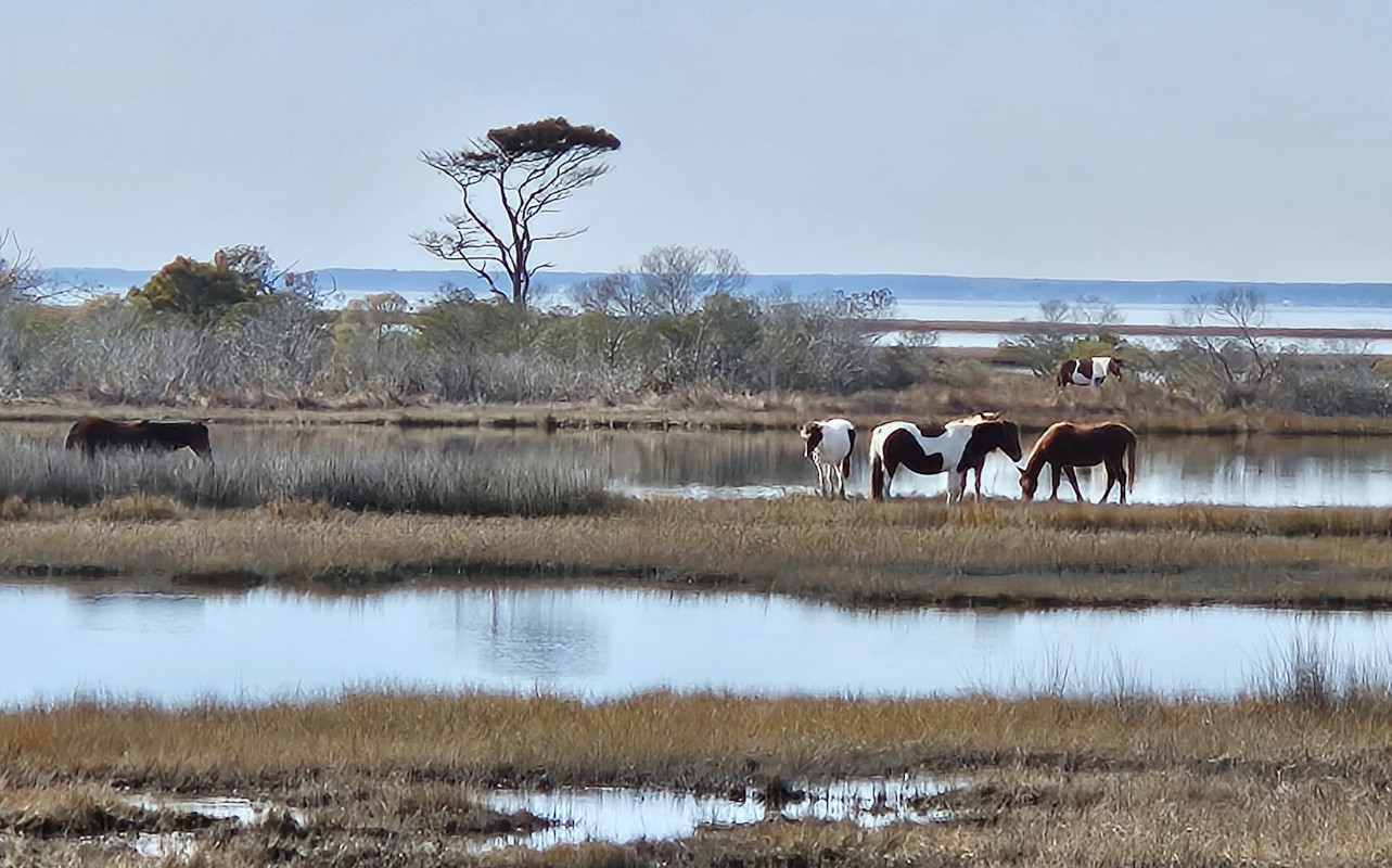
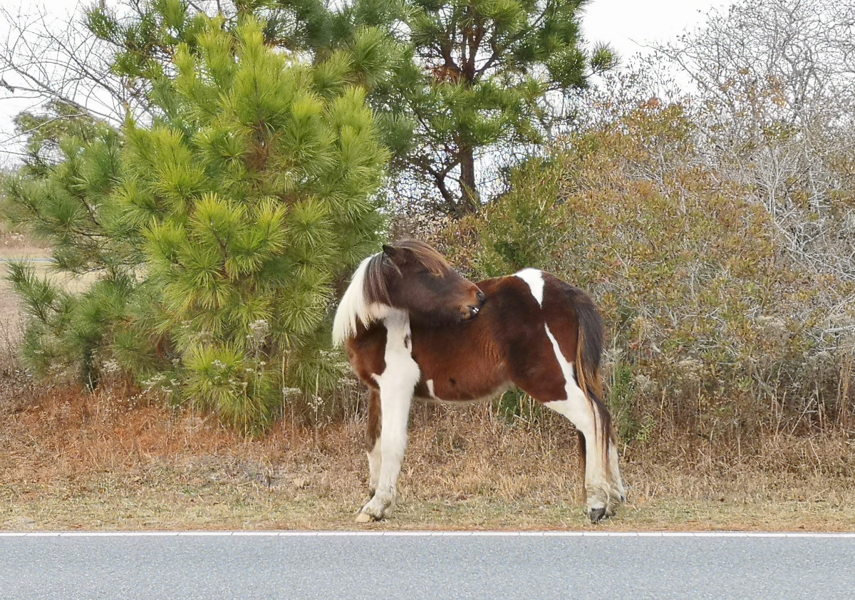
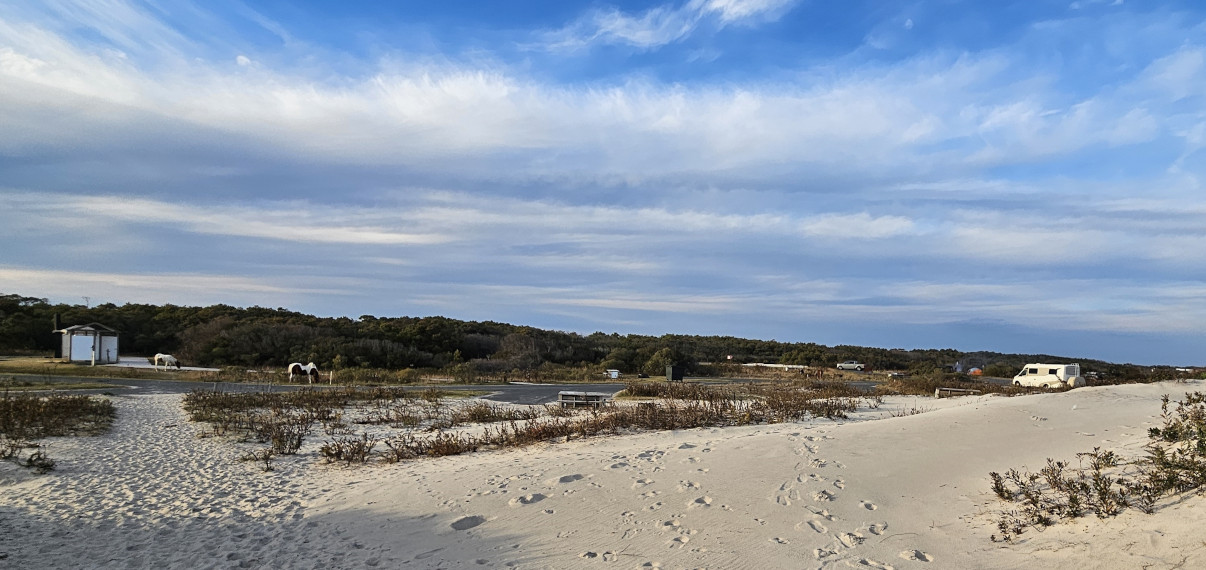
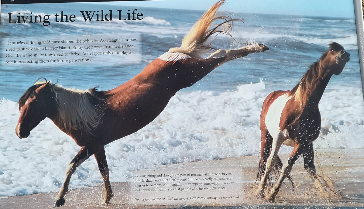
After lunch we headed south along Highway 1 along the coast, entering Maryland (another new state for us) and reached Ocean City (very touristy) where we turned inland and then further south until we turned to cross over to Assateague Island National Seashore. We stopped into the visitor centre, and they said the campground check-in was on the island, so we went over there to get a site. All the sites have no services and when we arrived, they said we could drive around and check out loop B on the ocean side and loop C on the bay side. We decided Loop B would be best as it was close to the beach, so we selected site 35 and went back to the office to pay for 3 nights. While in this loop there were only 4 other campers on various nights so not busy at all. Assateague Island is known for the wild horses and while checking out the campsites we saw several horses.
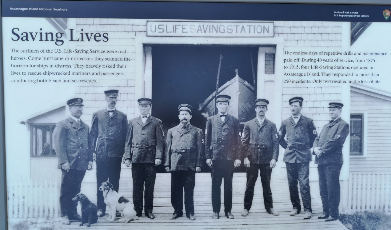
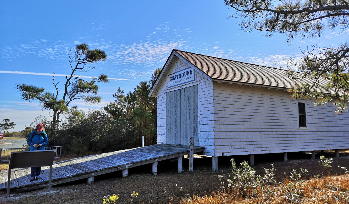
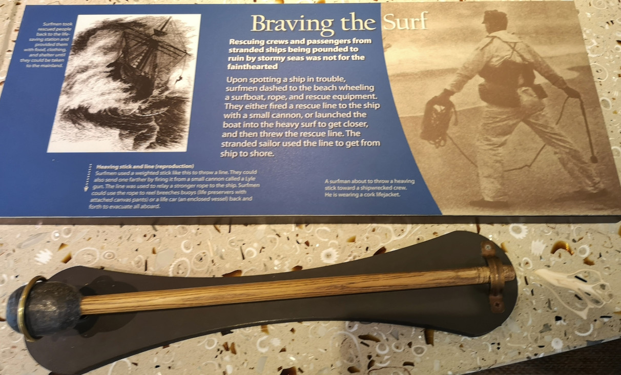
For our first day in the park, it was sunny, so we decided to walk all the trails (about 12 kms). On our way to the first trail, we saw the US Life Saving Station historic building. The surfmen that worked here would try to save people from any ships that were in distress and save the lives of shipwrecked mariners and passengers. They operated from 1875 until 1915 and over 250 incidents there were only 2 lives lost. Eventually this group became the US Coast Guard.
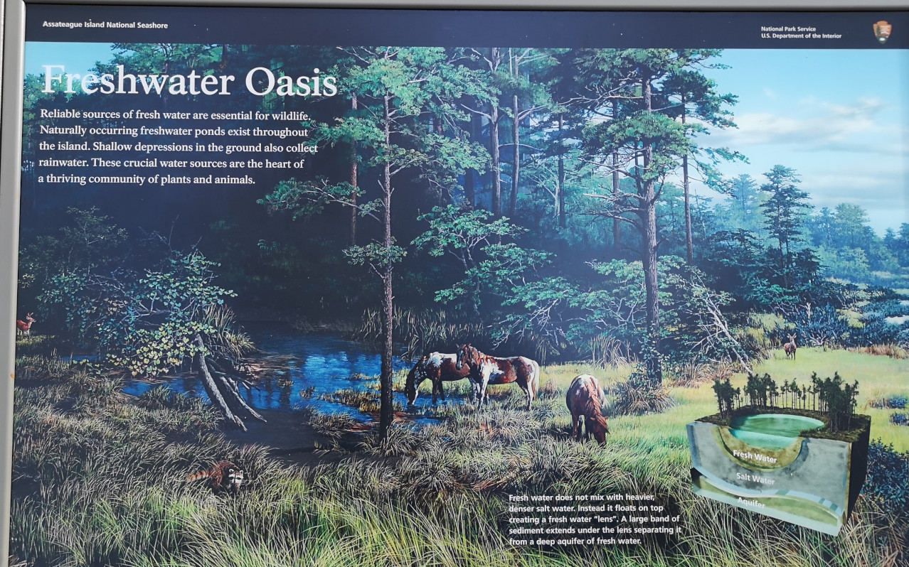
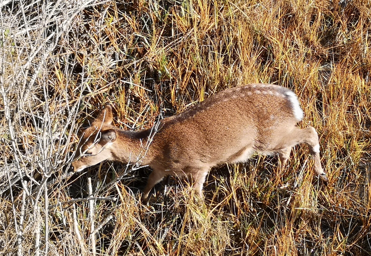
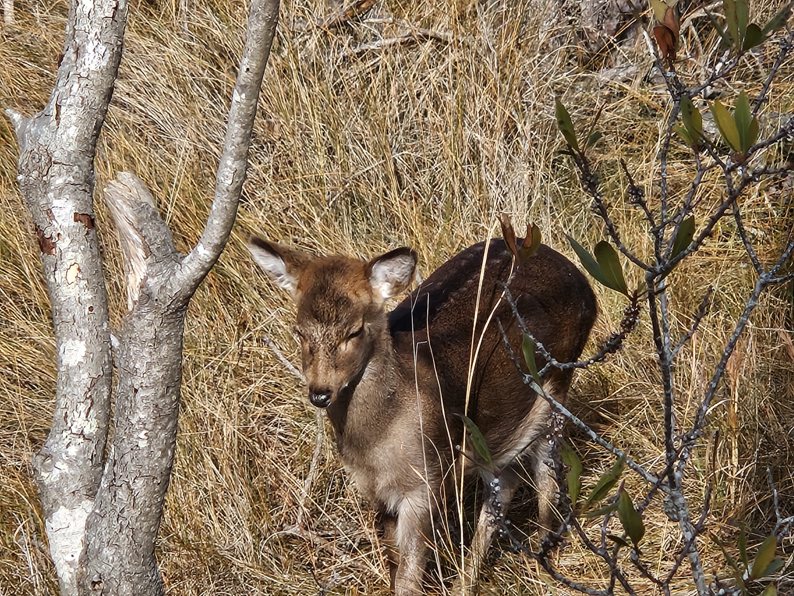
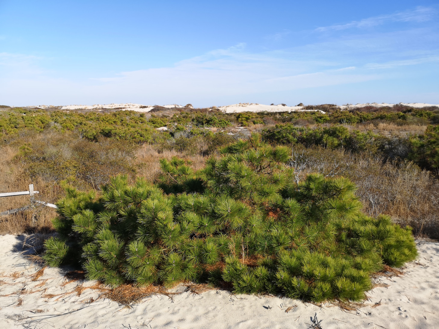
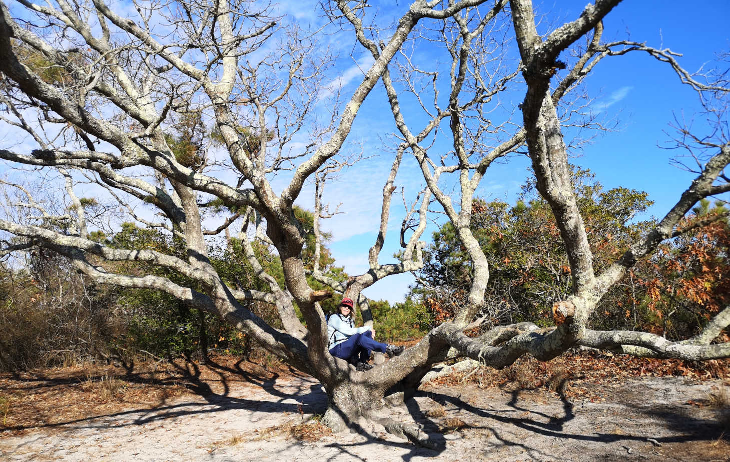
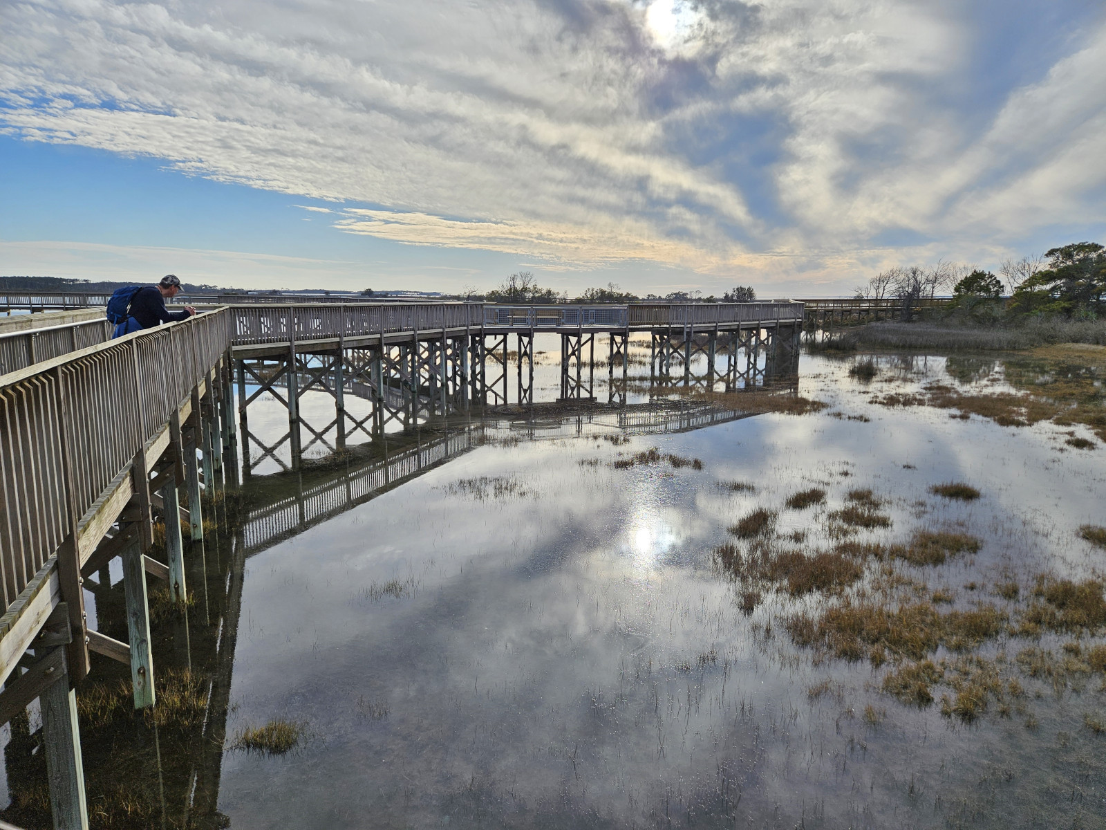
Our first trail was the Life of the Forest Trail which was a boardwalk that went out through the loblolly forest into the marsh area. At the first lookout we could see 5 wild horses in the distance. We were using a National Park Audio tour app to explain things along the trail and when we turned onto the first right hand fork, we saw 4 Sika Deer right under the boardwalk so we could get great pictures of them. At the end of the boardwalk, we spoke with a local couple who told us about other areas to visit.
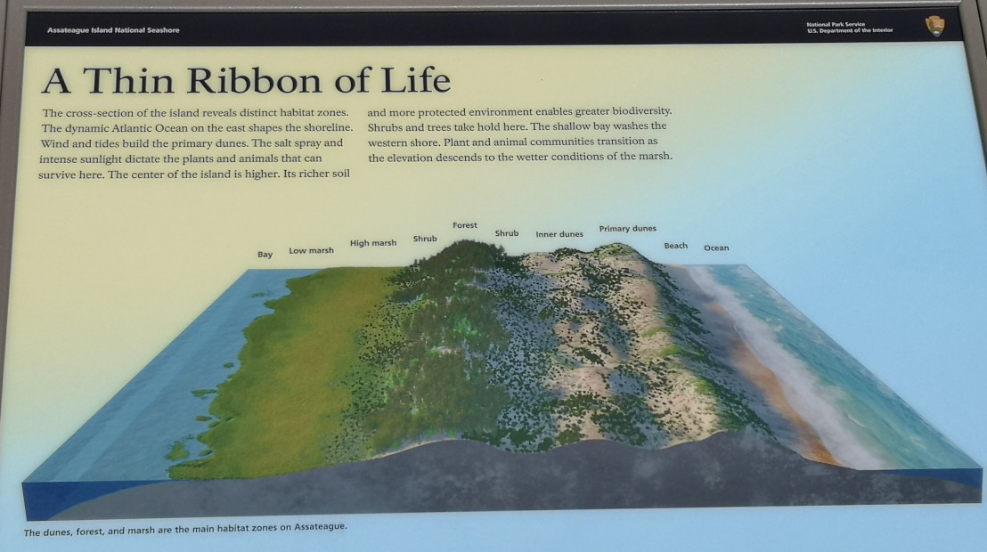
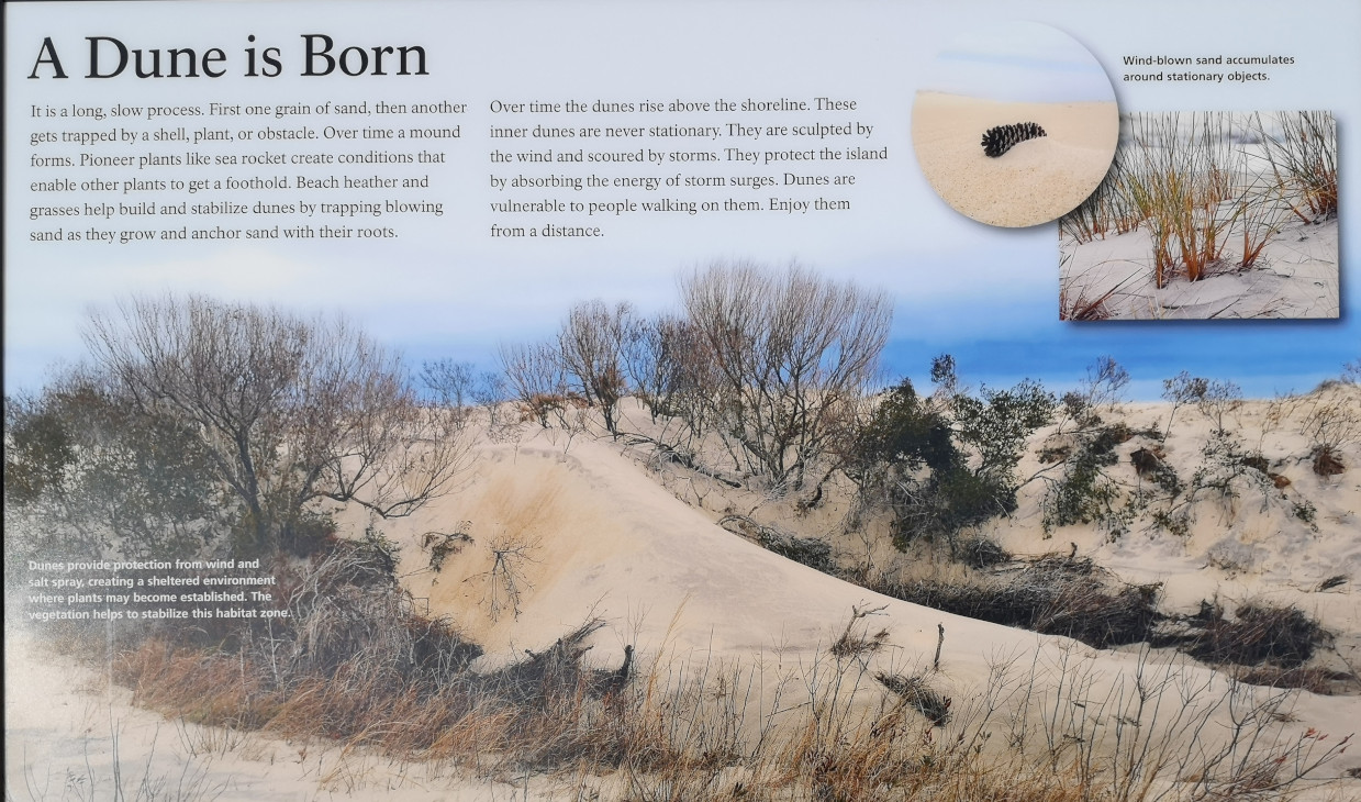
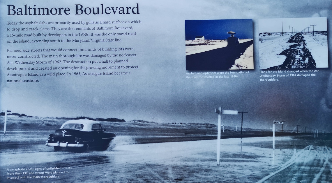
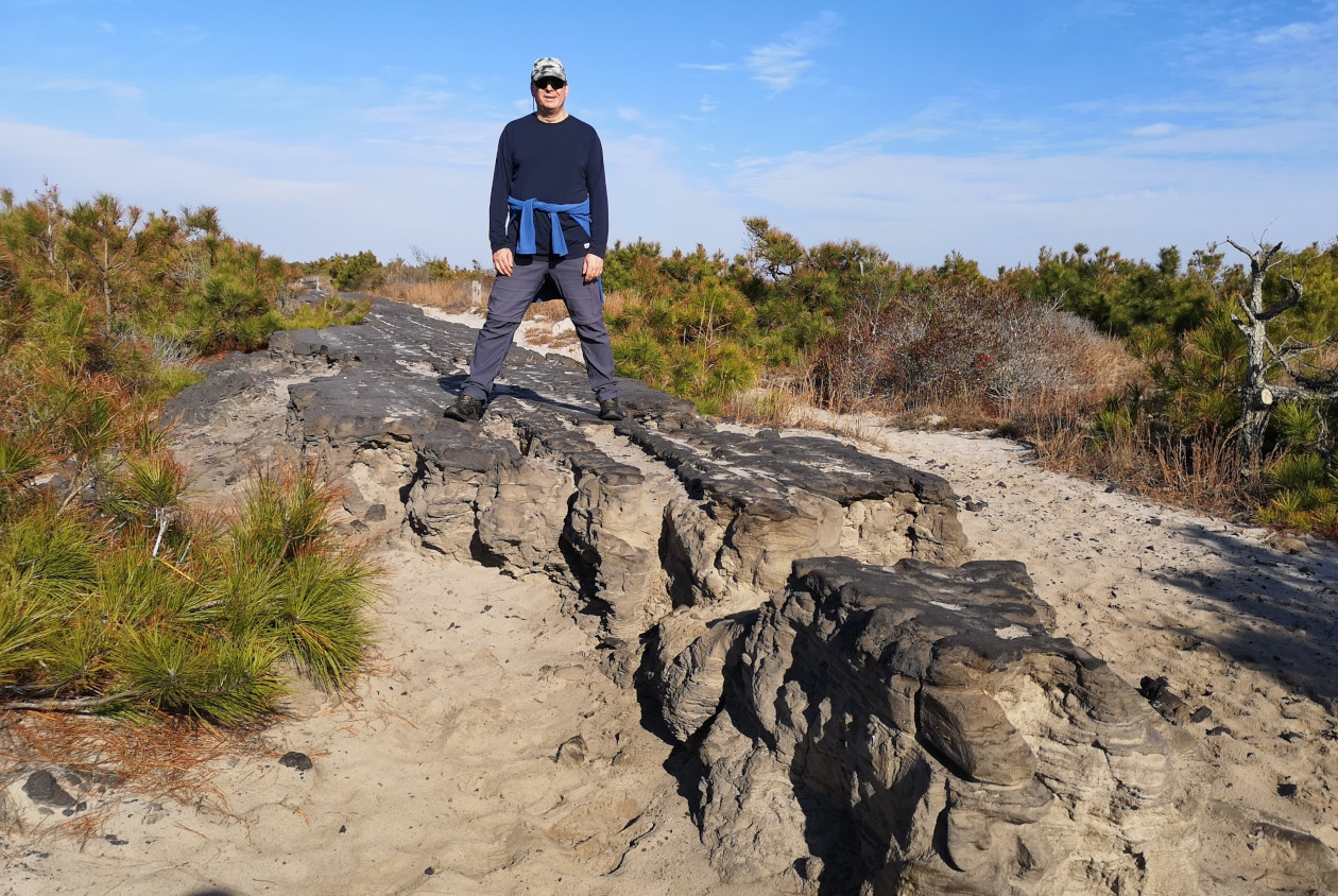
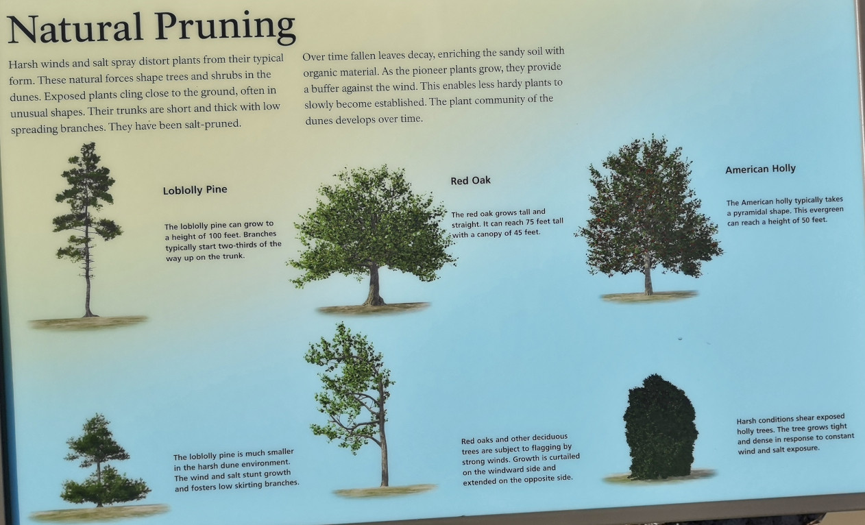
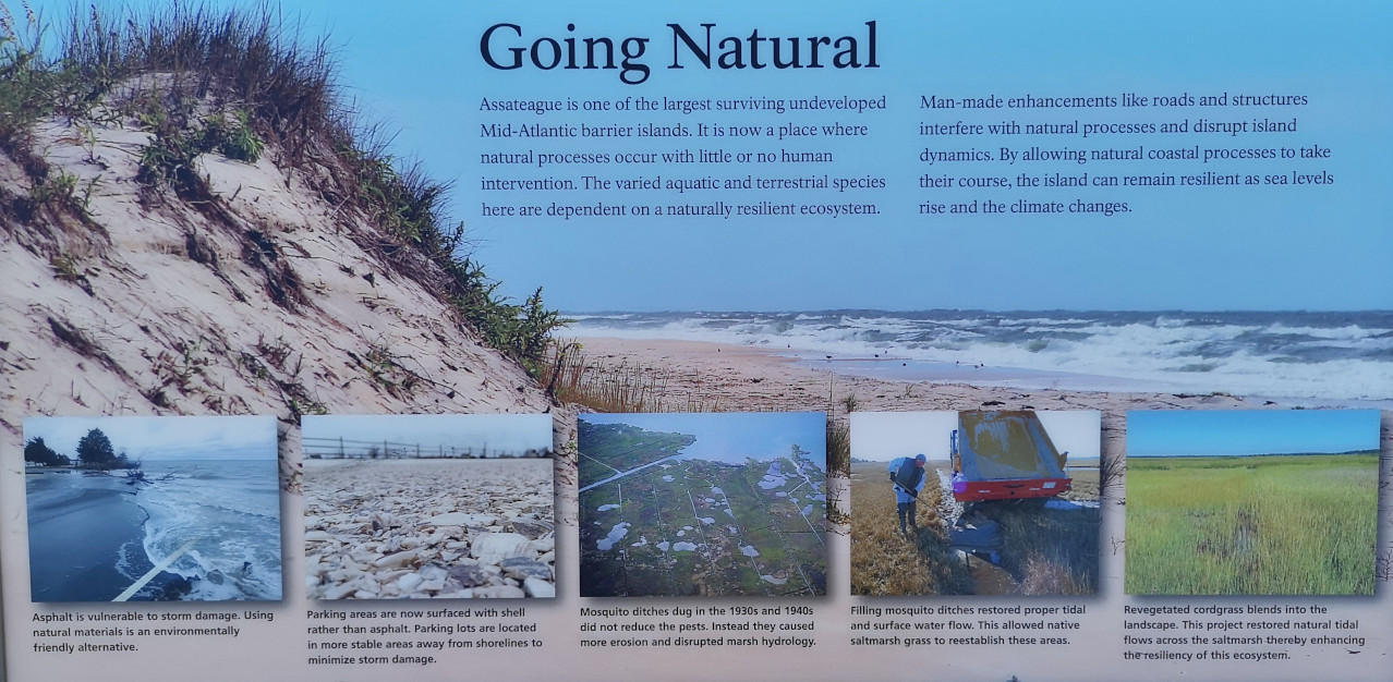
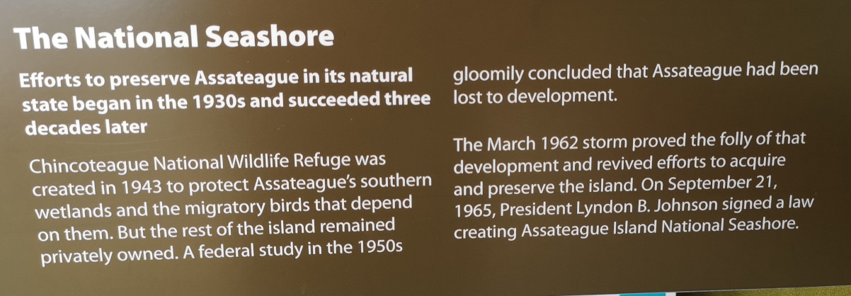
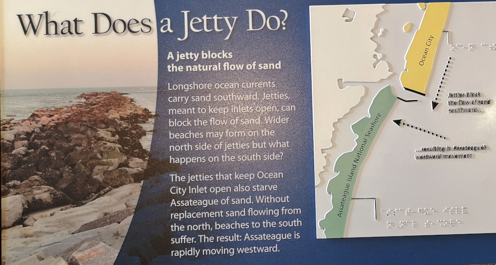
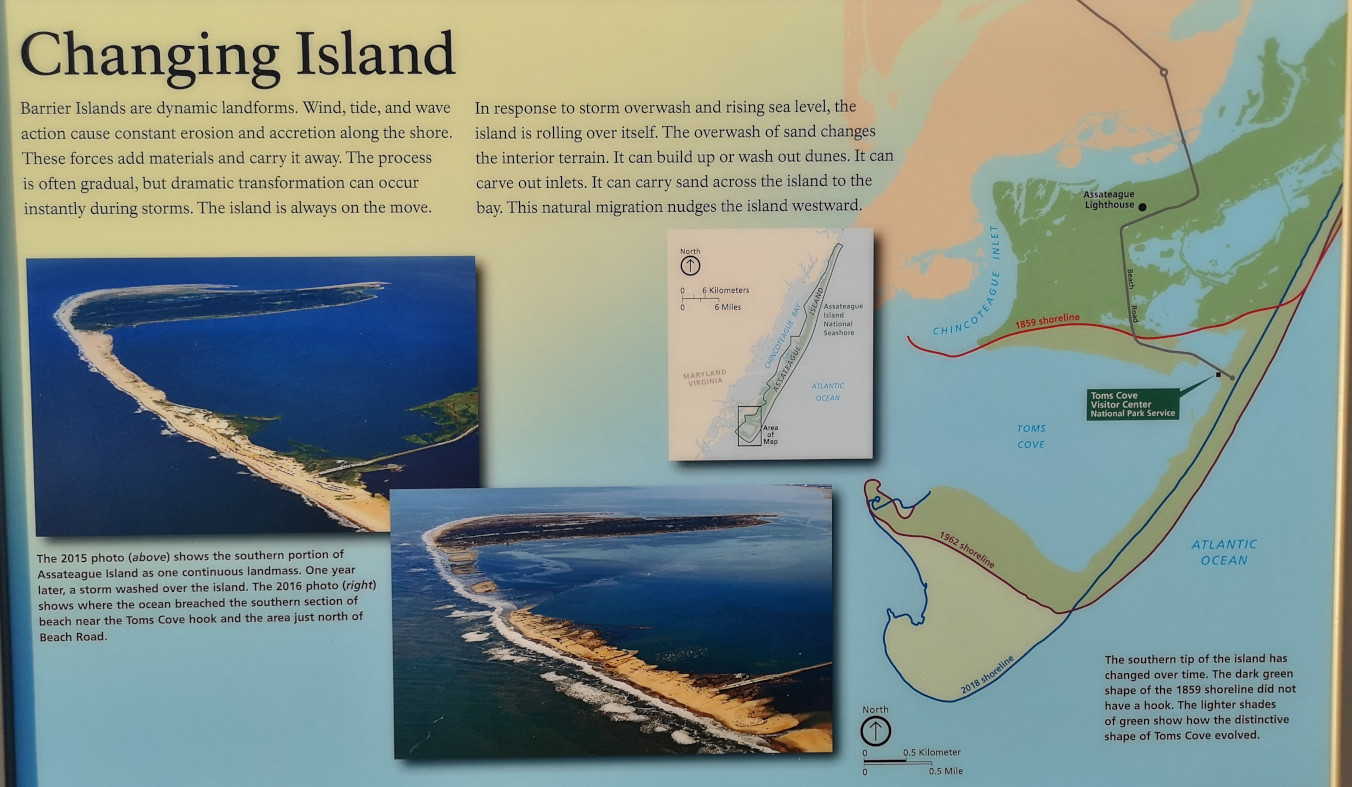
Next was the Life of the Dunes Trail, no wild horses in the dunes area today. We did run across an old asphalt road (15 miles long) that was built in the 1950’s by a developer hoping to turn the area into the next tourist mecca (like Ocean City). They had started to sell the 6000 lots but hadn’t started building and then, an Ash Wednesday Storm in 1962 from a bad Nor’easter destroyed the road. This helped the group that wanted to protect the Island to eventually get traction and then in 1965 it became a National Seashore. After having driven through Ocean City, which is just a channel away from Assateague, we can say that it’s fantastic that they were able to preserve this wild place! We had our packed lunch on the viewing platform looking over the dunes and the forest area on the bay side.
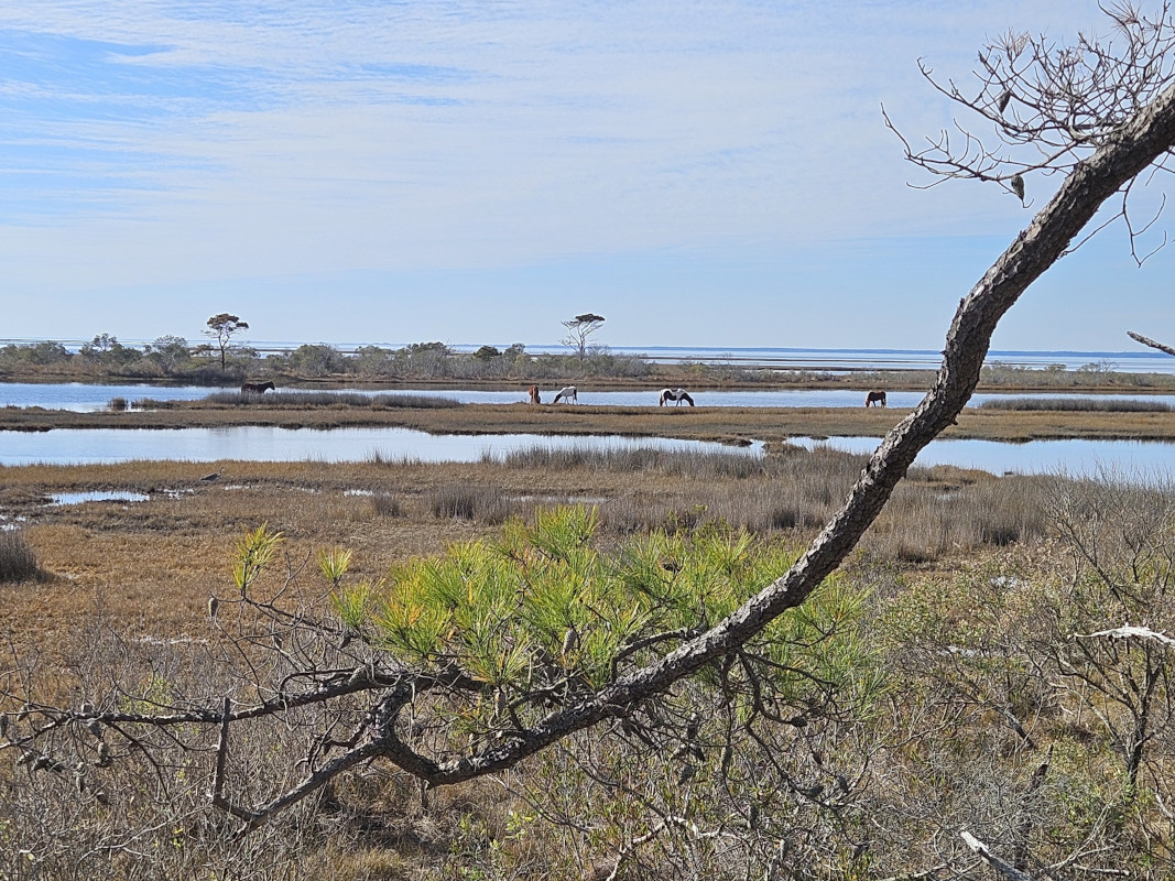
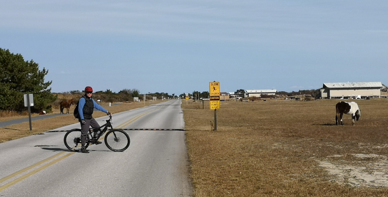
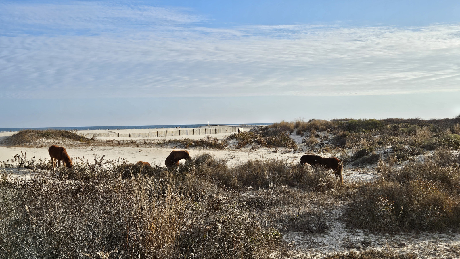
On our way back from the Life of Dunes Trail we passed by the loop B campground and saw several wild horses and had to pass another one as we walked to the next trail. It was very difficult to keep the 40’ distance they recommended when you were walking through the park and along the roadways.

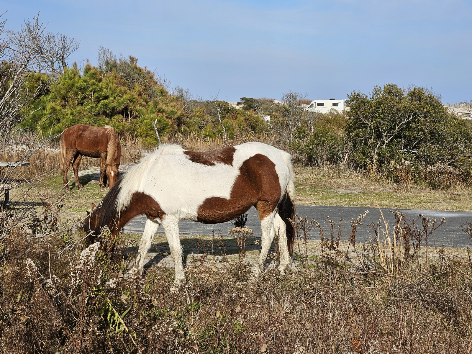
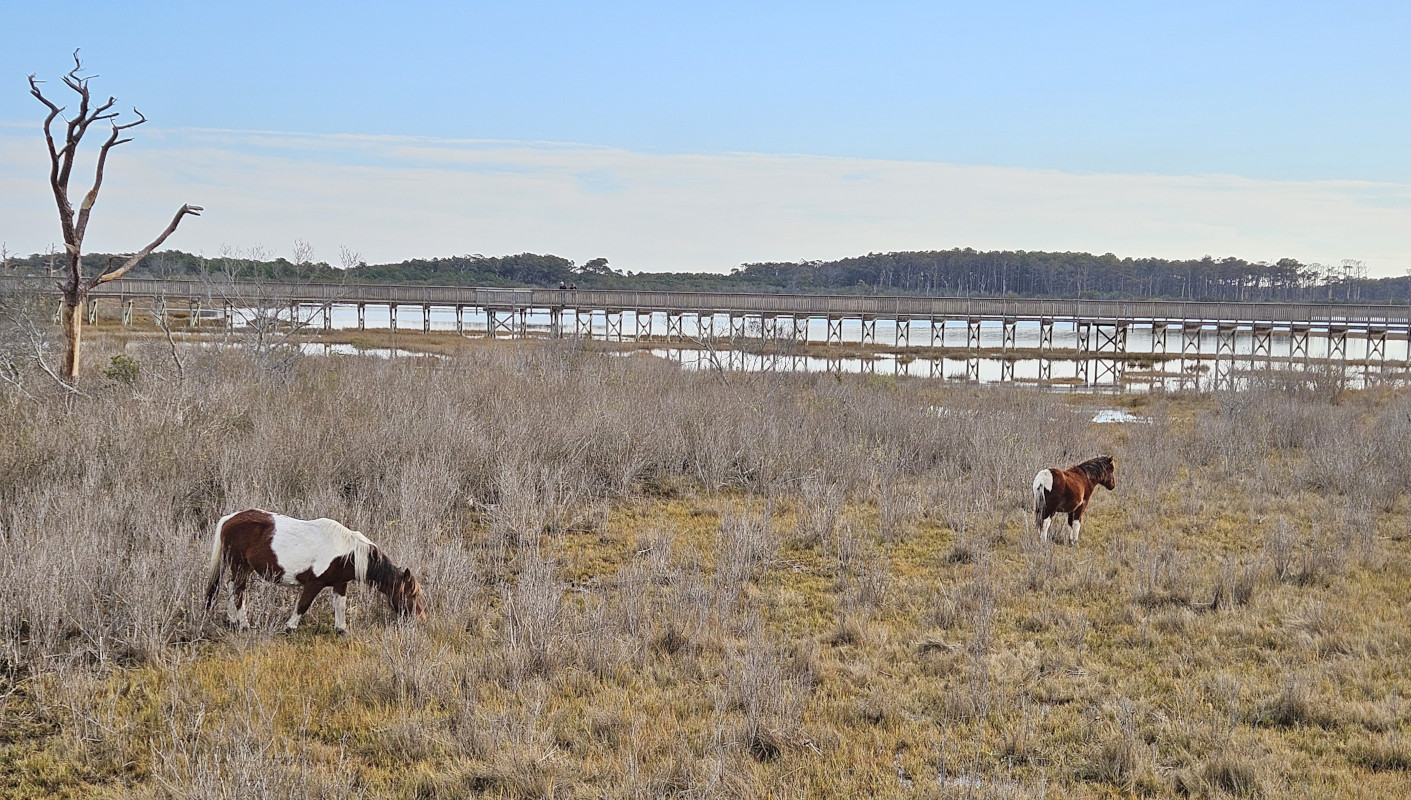
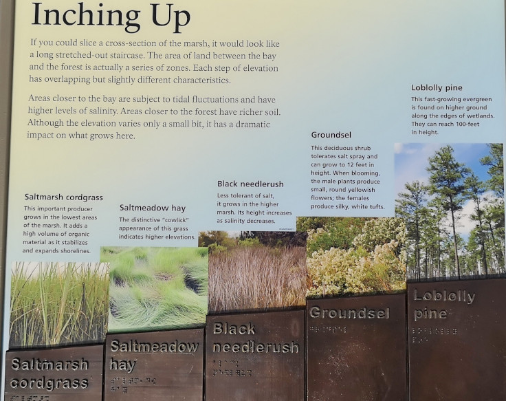
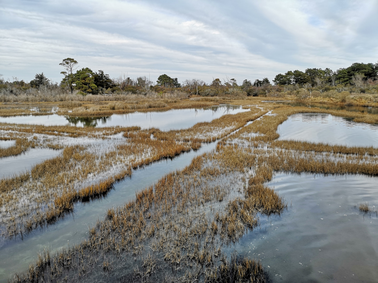
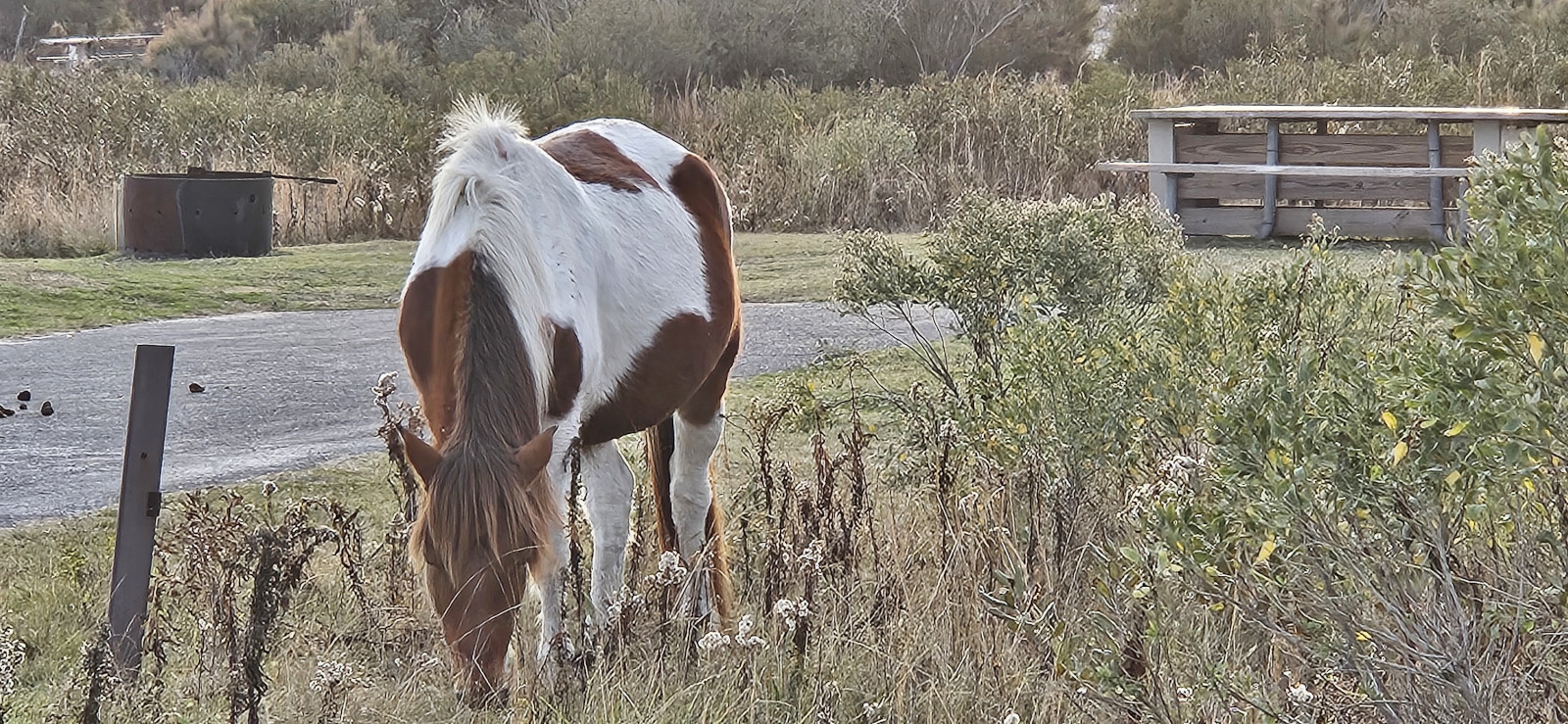
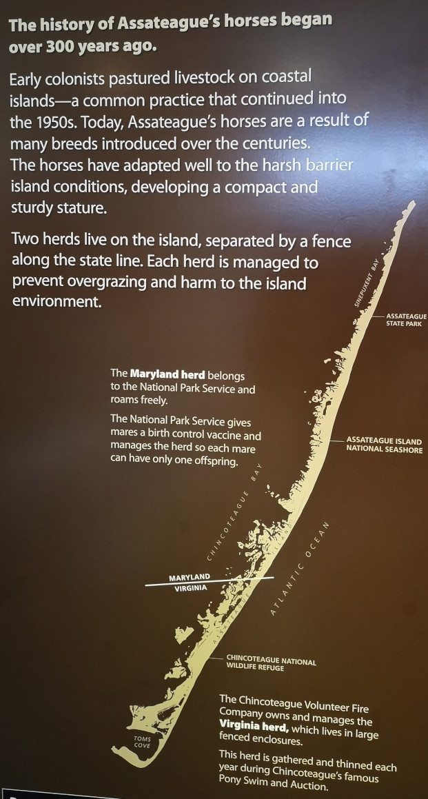
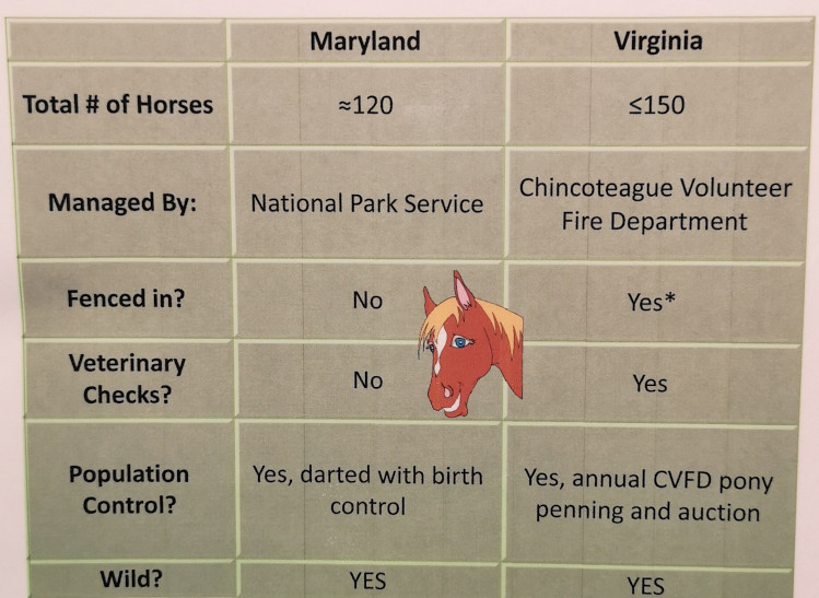
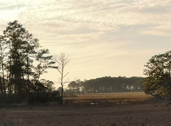
The last trail of the day was the Life of the Marsh Trail which was an elevated boardwalk above the wetlands and mudflats showing the saltmarsh and bay. There were a couple more horses grazing in the marsh area below the boardwalk. The pungent smell of decay in the marsh was a sign of a healthy ecosystem, so the sign said😉 At the end of the boardwalk, you could walk down to the beach that was along the bay. As we completed the boardwalk loop, we learned about the channel cuts that they had done in the early years to try to control the outflow of water to reduce the mosquitoes, but it backfired. The mosquitoes were able to prosper in the shallow areas where fish couldn’t get at them. Now the park service is gradually filling back in the channels to make the water depth more uniform so the fish can eat the mosquito larvae. As we returned to the campground, we saw a few more wild horses. We learned later that right now there are 82 wild horses in Assateague and the national park service is controlling the herd size by giving shots to the horses to prevent too may births. We also learned that the horses look fatter than typical horses because they must consume 50% more fresh water than a normal horse to counteract the excess salt they get from eating the salty marsh grasses.
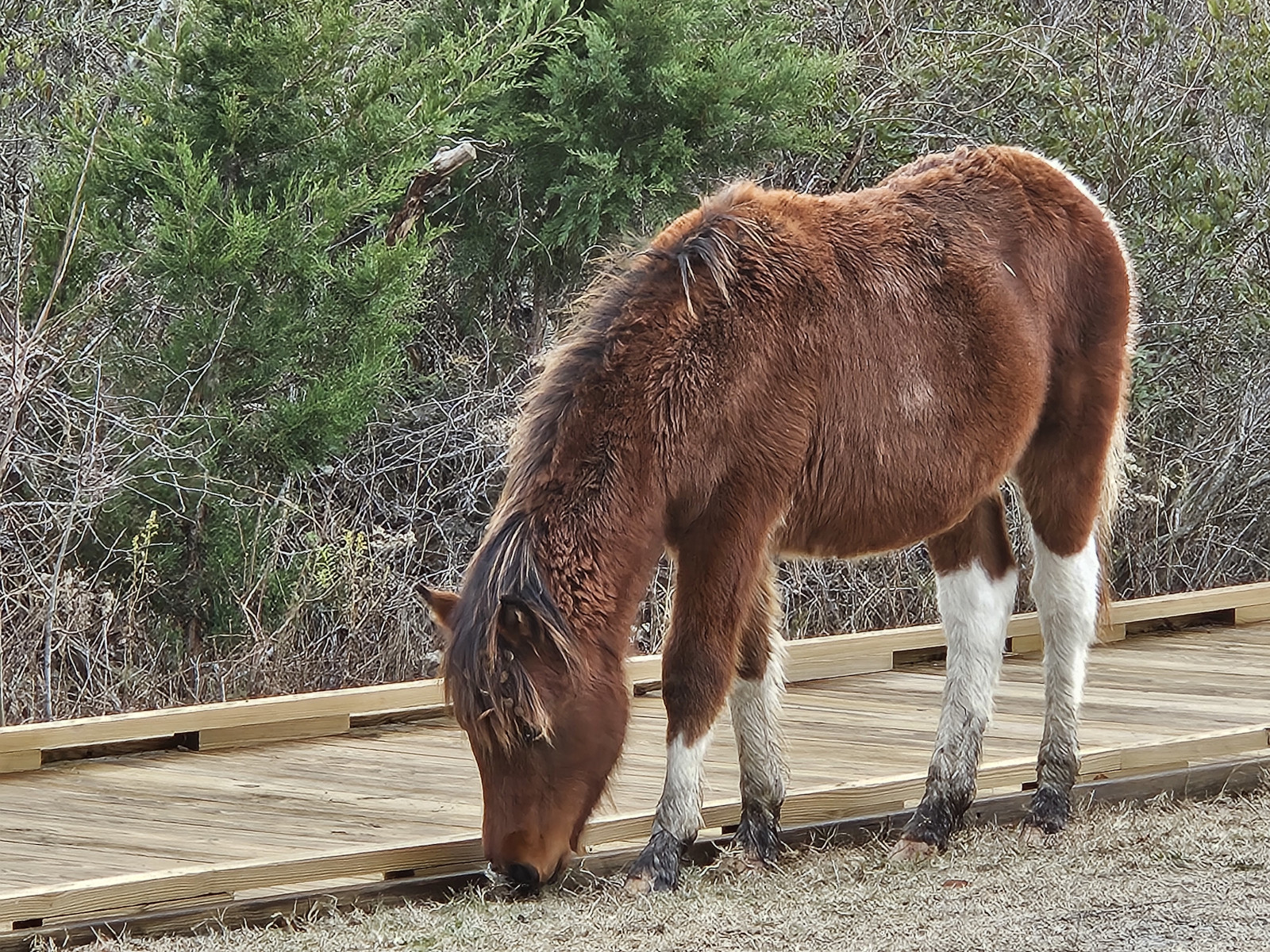
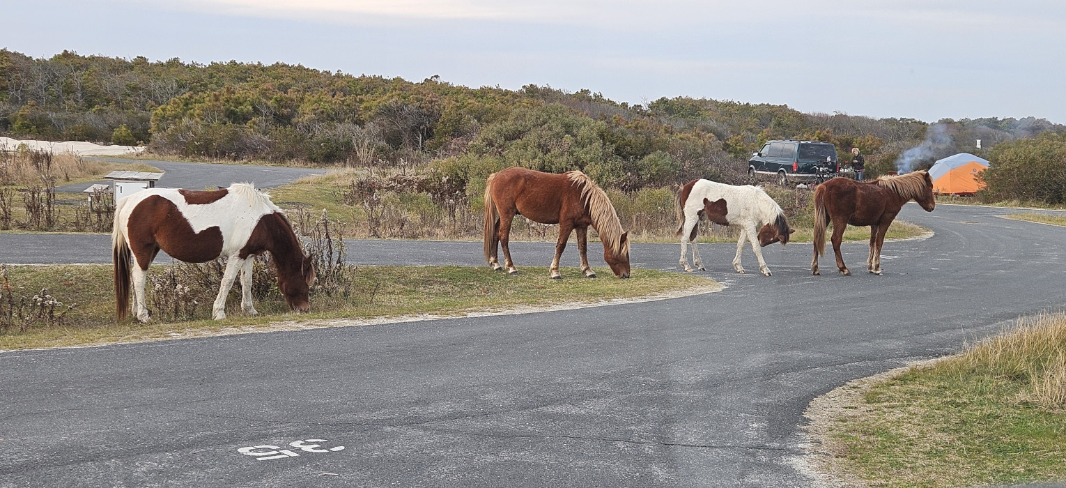
When we returned to the campground, we saw firsthand why they warn you about keeping your food locked up as a large group of horses were wandering around the campground hoping for some dinner. A camper near us had her car door and hatch open, food on the table and the horses could smell it. They came over and proceeded to eat everything she had out! Once they were full, she finally scared them off but a bit too late.

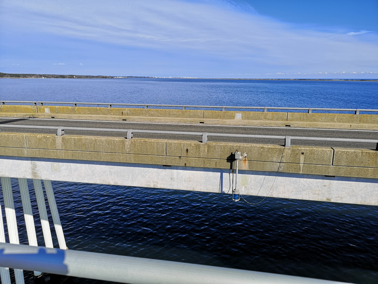
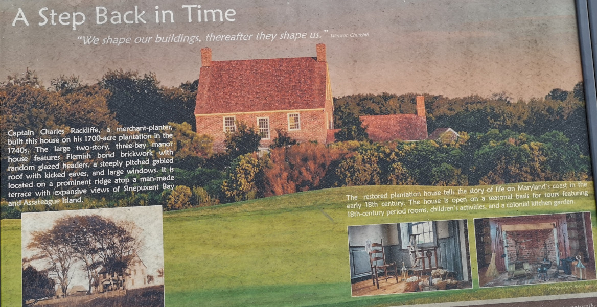
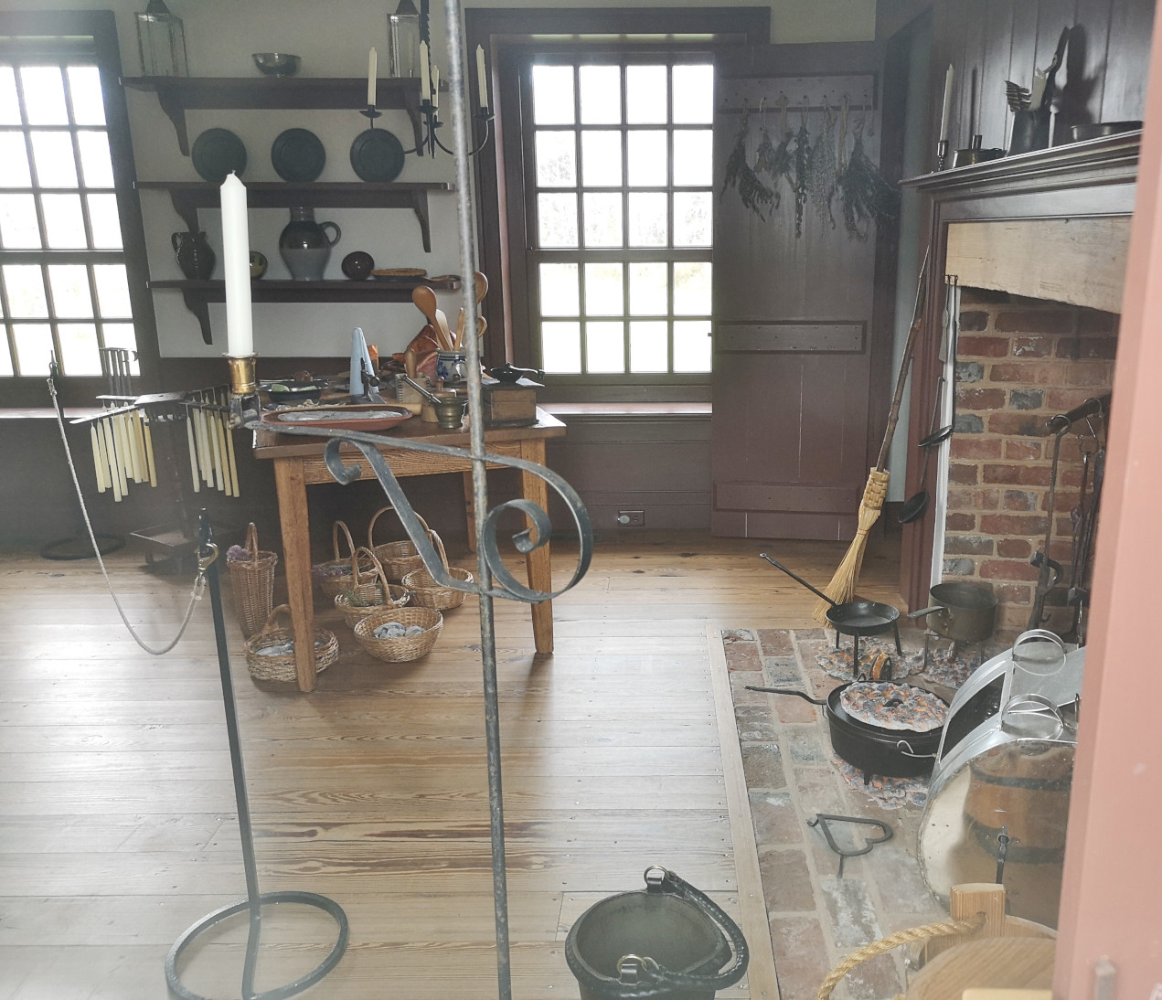
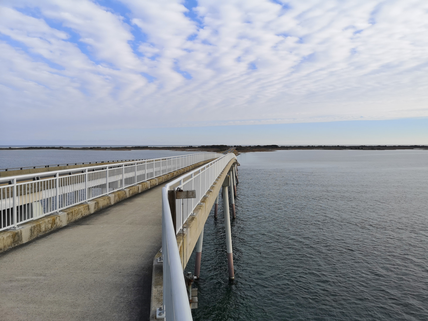
The next day we decided to do a 17km bike ride on the Assateague Island bike path. We went through the massive Assateague Island SP that was closed for the season and proceeded across Verrazano bridge to check out the visitor centre, where they had lots of display boards and 2 video presentations about the island. We had our lunch on the outside deck and walked over to see the outside of the Rackcliffe House. The house was built in the 1740’s by Captain Charles Rackcliffe on his 1700-acre plantation. Rackcliffe ran a Salt Works on Assateague Island. Currently the inside of the house is not open to the public.


On our return trip we tried riding along the beach, and it was slightly possible with Sharon’s fat tires, but I had to ride right along where the waves were coming in to find semi soft sand with my MTB tires and after about 1 km we were exhausted. On top of the fact that I now had 2 soakers! When we took a boardwalk back to a parking lot, we finally saw some horses in the dunes close to the ocean side.

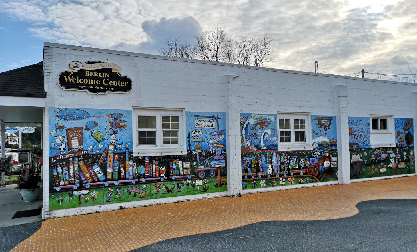
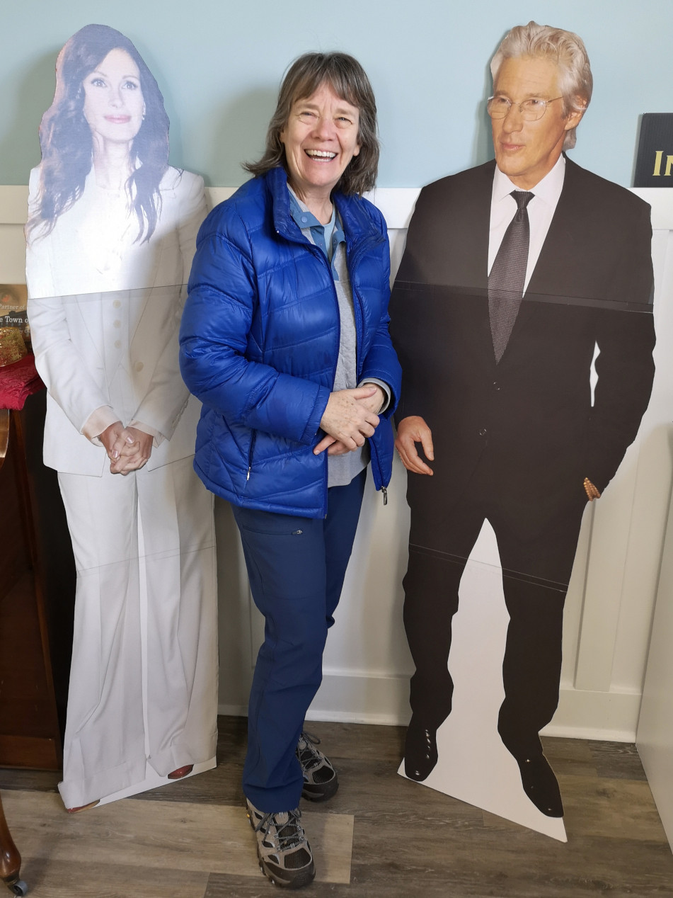
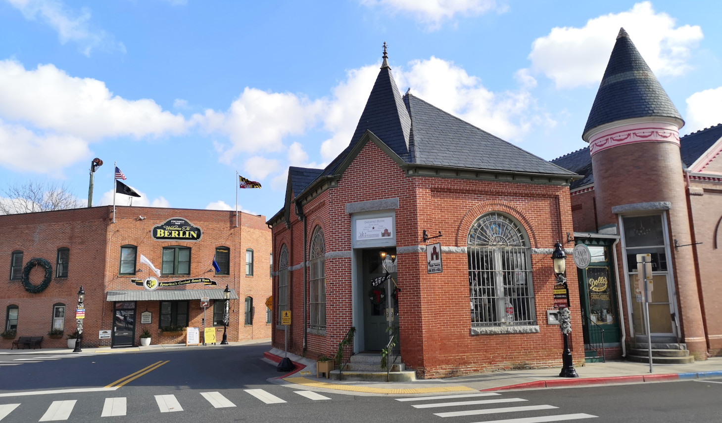
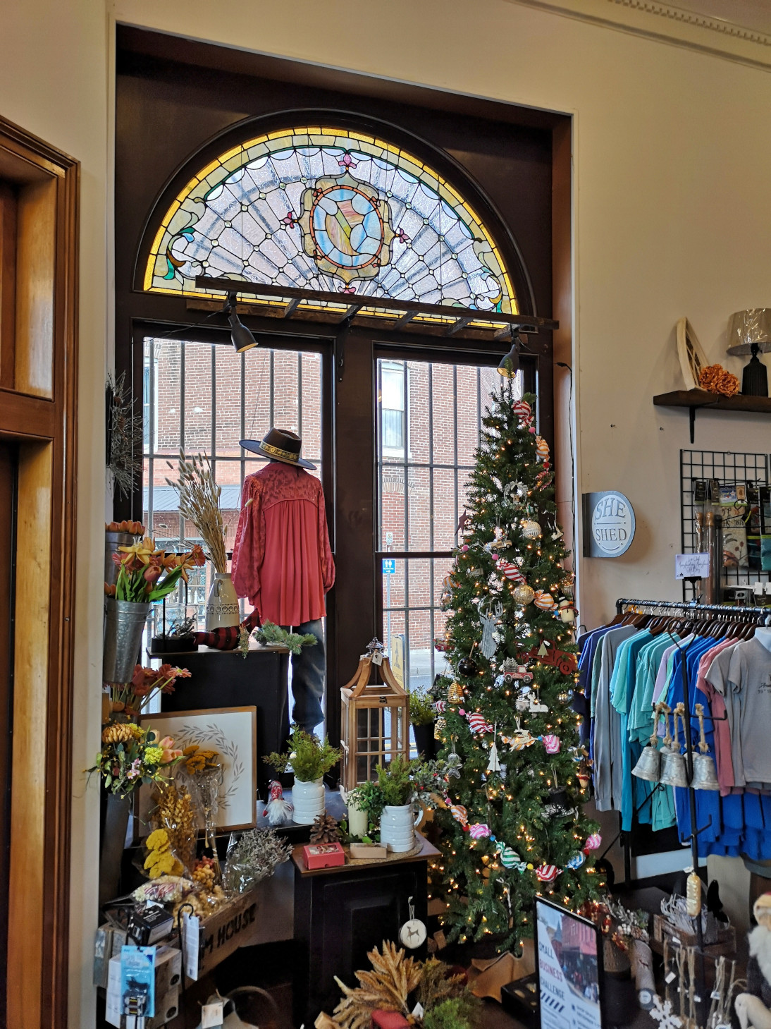
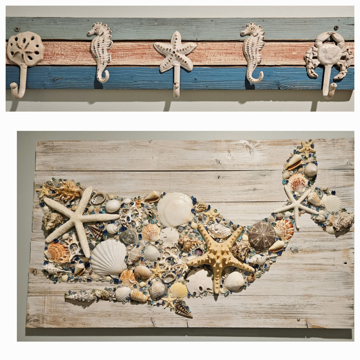
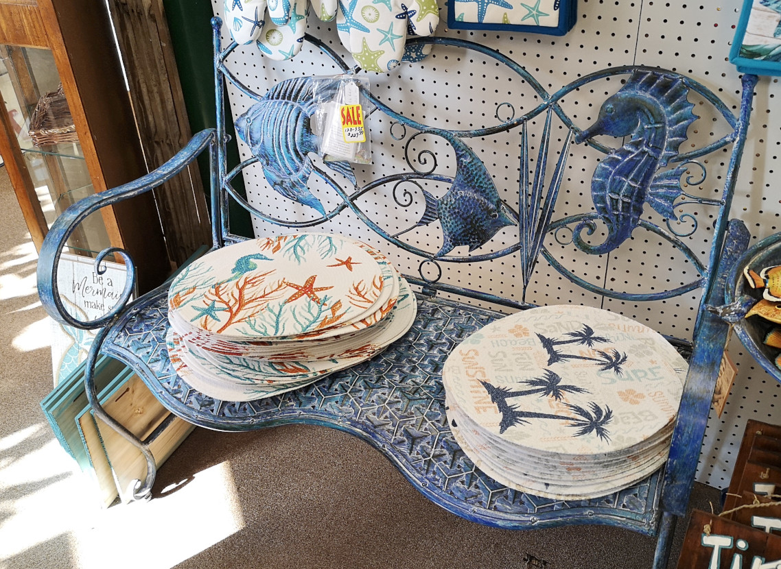
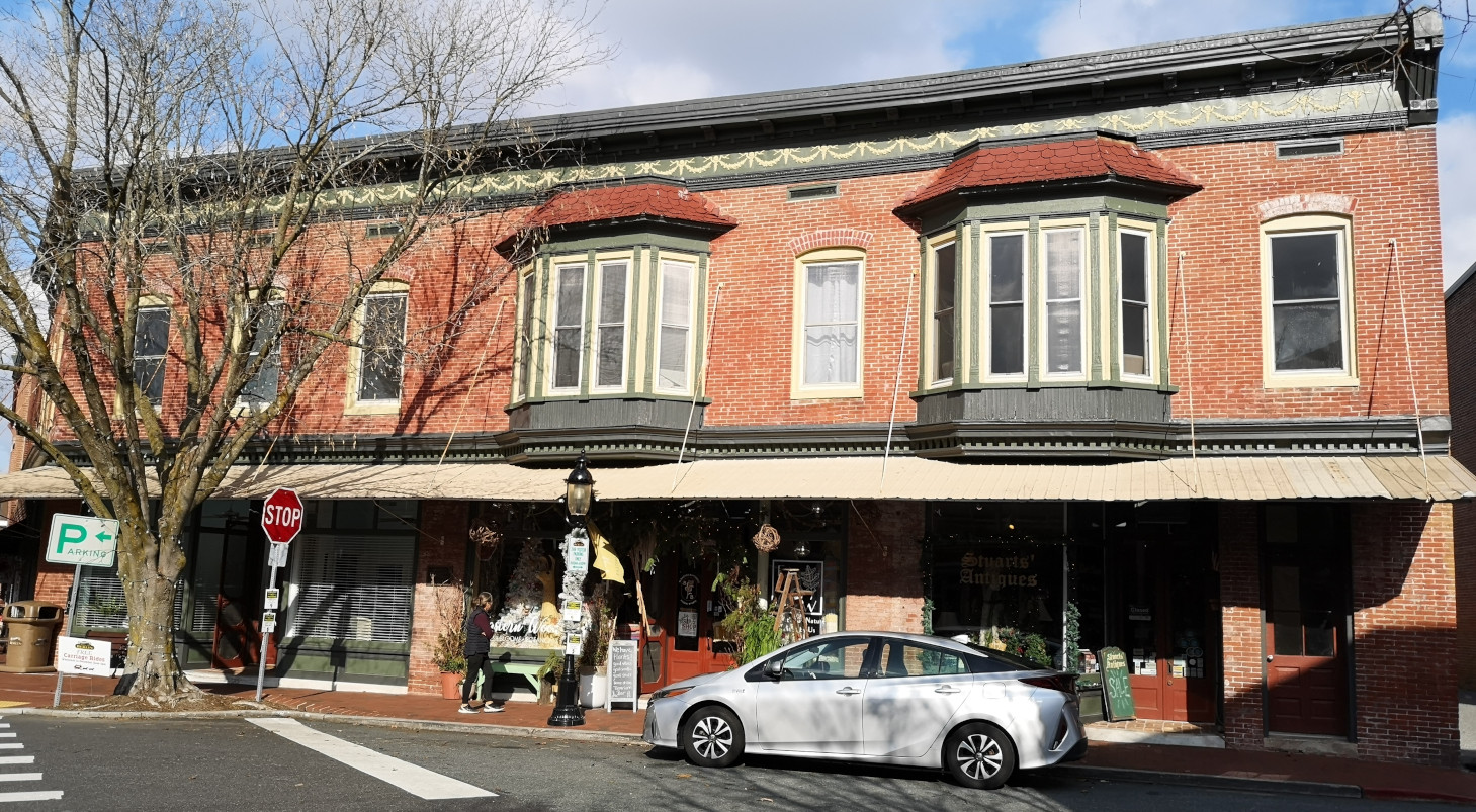
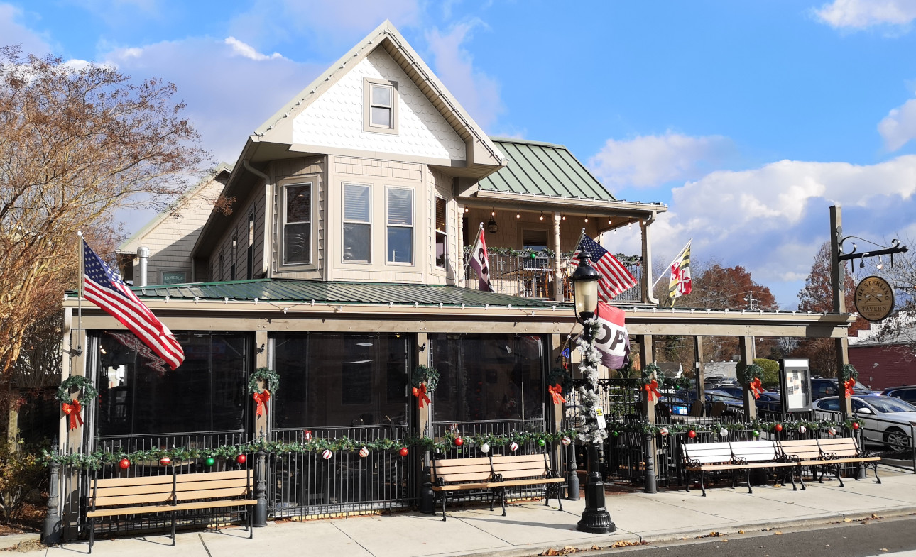
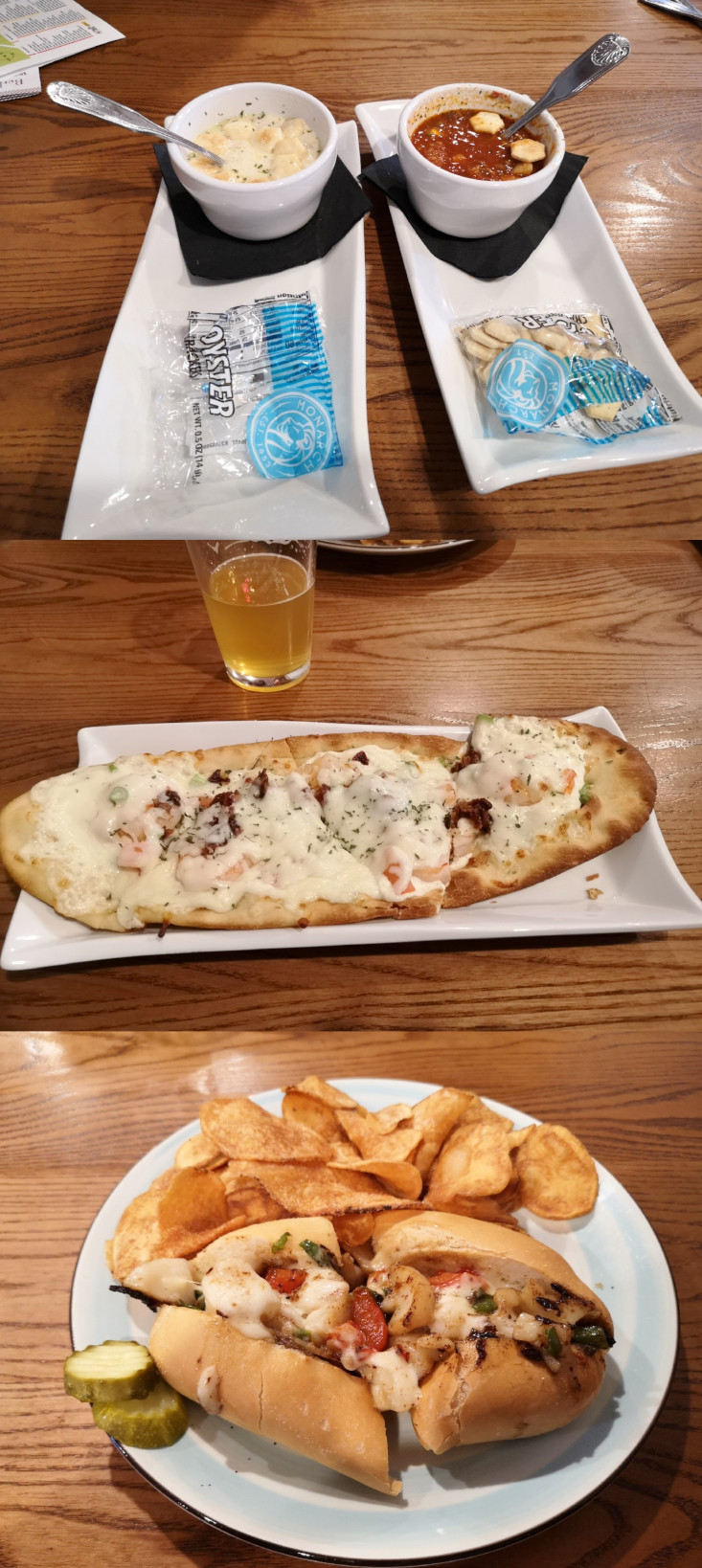
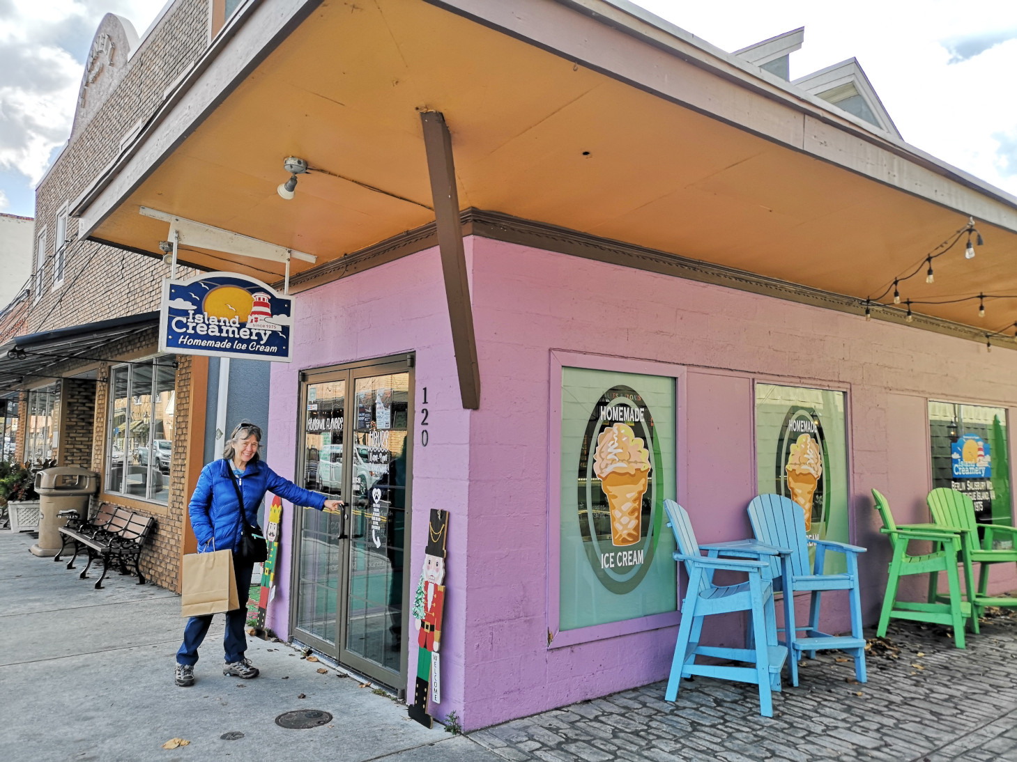
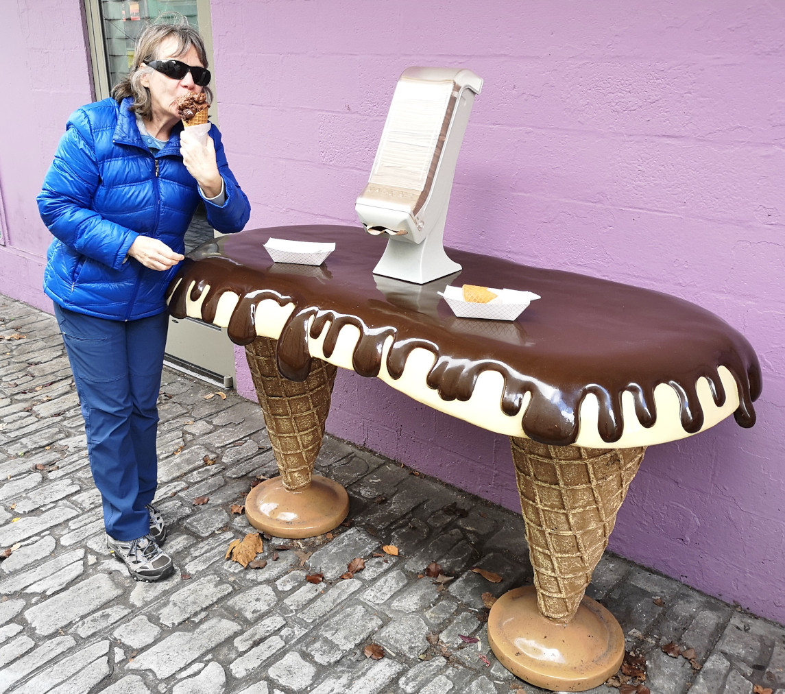
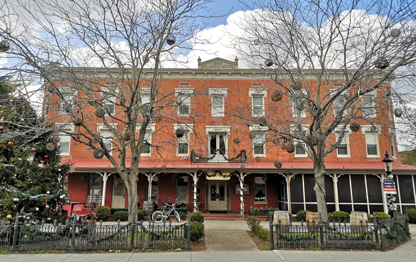
When we left the island, we needed to fill our propane tank since our new ceramic heater had failed. We found a TSC shop in the town of Berlin, so we got it filled there and I got a new flannel shirt (we’ve been having cold nights) for only $10! We read that the downtown area of Berlin was quite historic (on the National Register Historic District), so we decided to check it out. We started with the visitor centre and the lady was incredibly friendly and helpful. She gave us recommendations for shops to visit, a pub for lunch and where we could get the Best Ice Cream in the USA! The movie Runaway Bride with Richard Gere and Julia Roberts was filmed in Berlin. One shop had all sorts of beach and sea creature stuff, so we shopped there for quite a while and bought lots. Sharon wanted to take home a cool bench, but it wouldn’t exactly fit in the RV😉 Then we had a great lunch in The Sterling Tavern with some local beers, 2 types of chowder, a shrimp flat bread, and a scallop sandwich, all items that the waitress had recommended. After lunch the ice cream shop was right across the street so we went for dessert. I had a Bourbon Caramel Crunch and Peanut Butter Cup and Sharon had 2 chocolate flavours, Salt Marsh, and Marsh Mud. The ice cream was fantastic but boy were stuffed! On our way back through town we stopped into the Atlantic Hotel where Runaway Bride was filmed to check out the first floor. Berlin was a great town to visit.

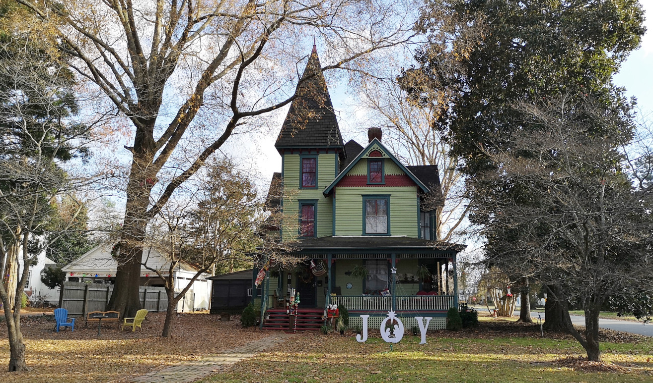
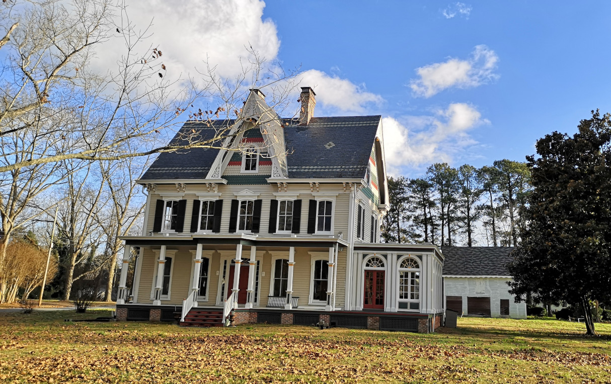
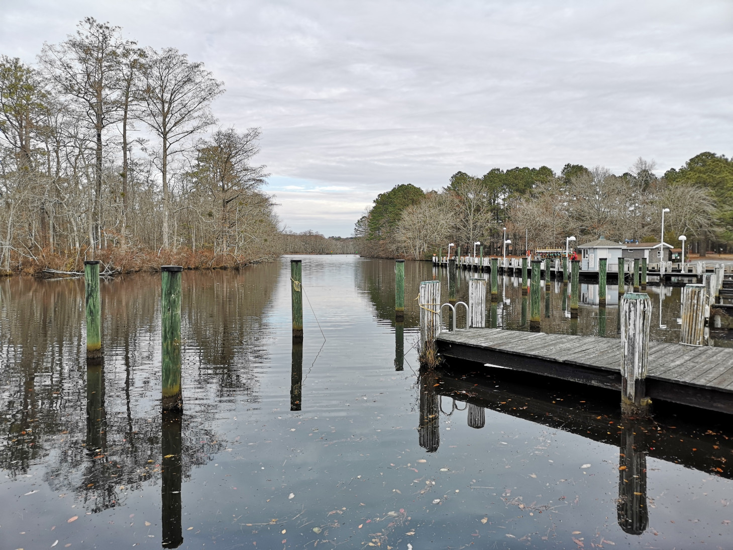
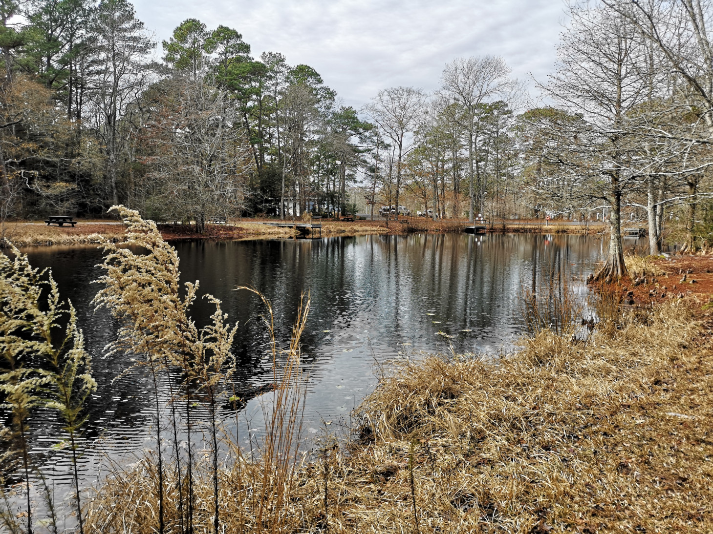
After our tour of Berlin, we headed south and did a drive by look at some of the historic houses in Snow Hill Maryland (the visitor centre lady also told us about this) and then went to Pocomoke River SP – Shad Landing campground to get a site for a few nights. The park office was closed but the girl saw Sharon looking at the board and came to open the door for us to book a site. We now have a Maryland Lifetime Seniors camping card 😊, it was good for ½ price camping Mon-Thurs!! There was only one other camper in our loop the entire time and the bathrooms/shower were heated so that was great with the cold weather we had.
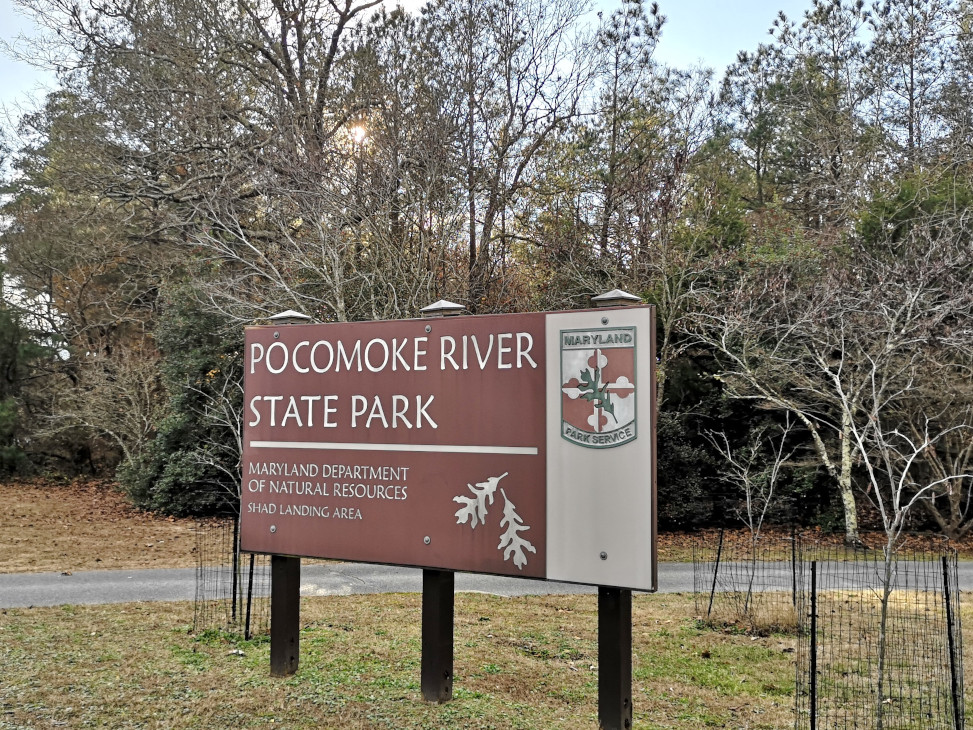
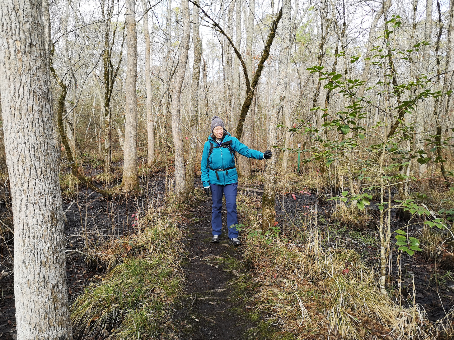
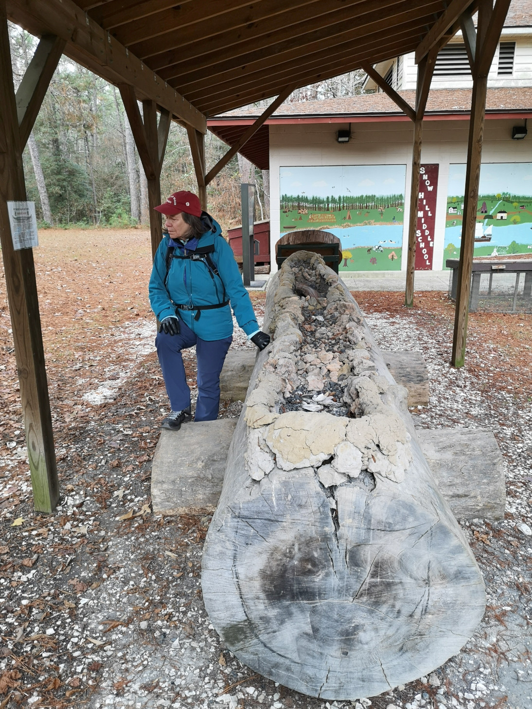
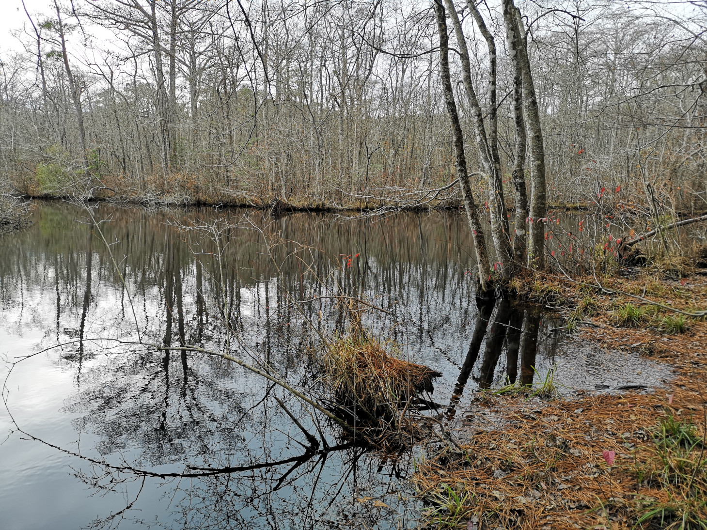
On our first full day in Pocomoke River SP, we decided to hike around the campground (7 kms). There were some MTB trails in the National Forest properties both East and South of the SP but unfortunately it was deer hunting season and the ranger recommended we not go on those trails (we did hear several gun shots so likely a good recommendation). The hunters are not allowed to hunt inside the State Park boundaries. We walked by the pier and through the picnic pavilion area and ended up on a trail that we realized after was closed due to wet conditions. Then we hiked by the pond, to the nature centre (could only see the dugout canoe outside as the centre was closed) and ended up at another Pocomoke River outlook and for some strange reason there was a mailbox in the middle of the forest. Inside were some sheets of paper with scripture readings.


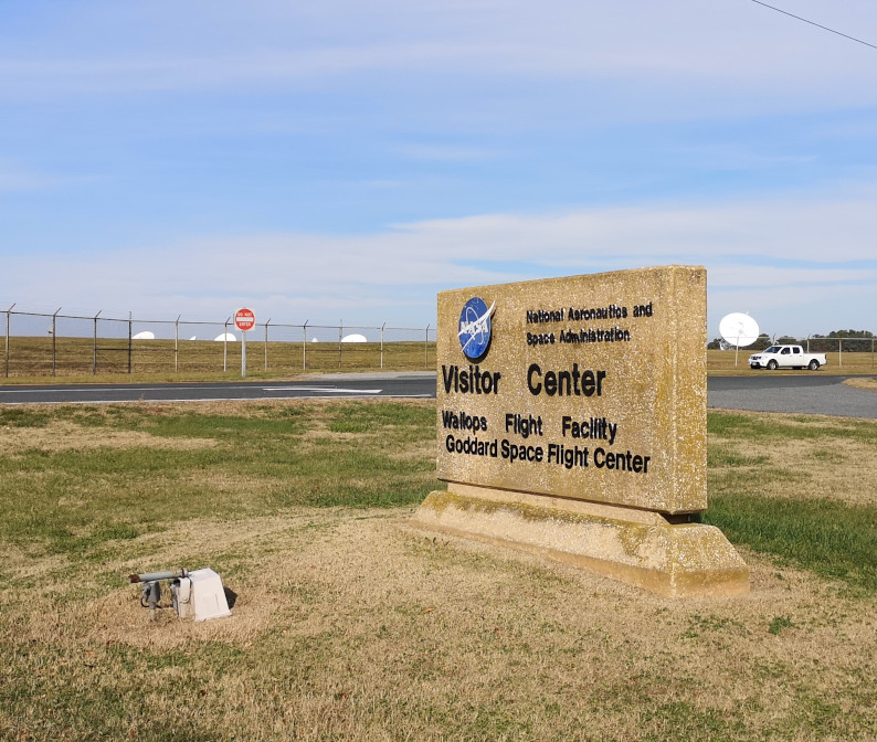
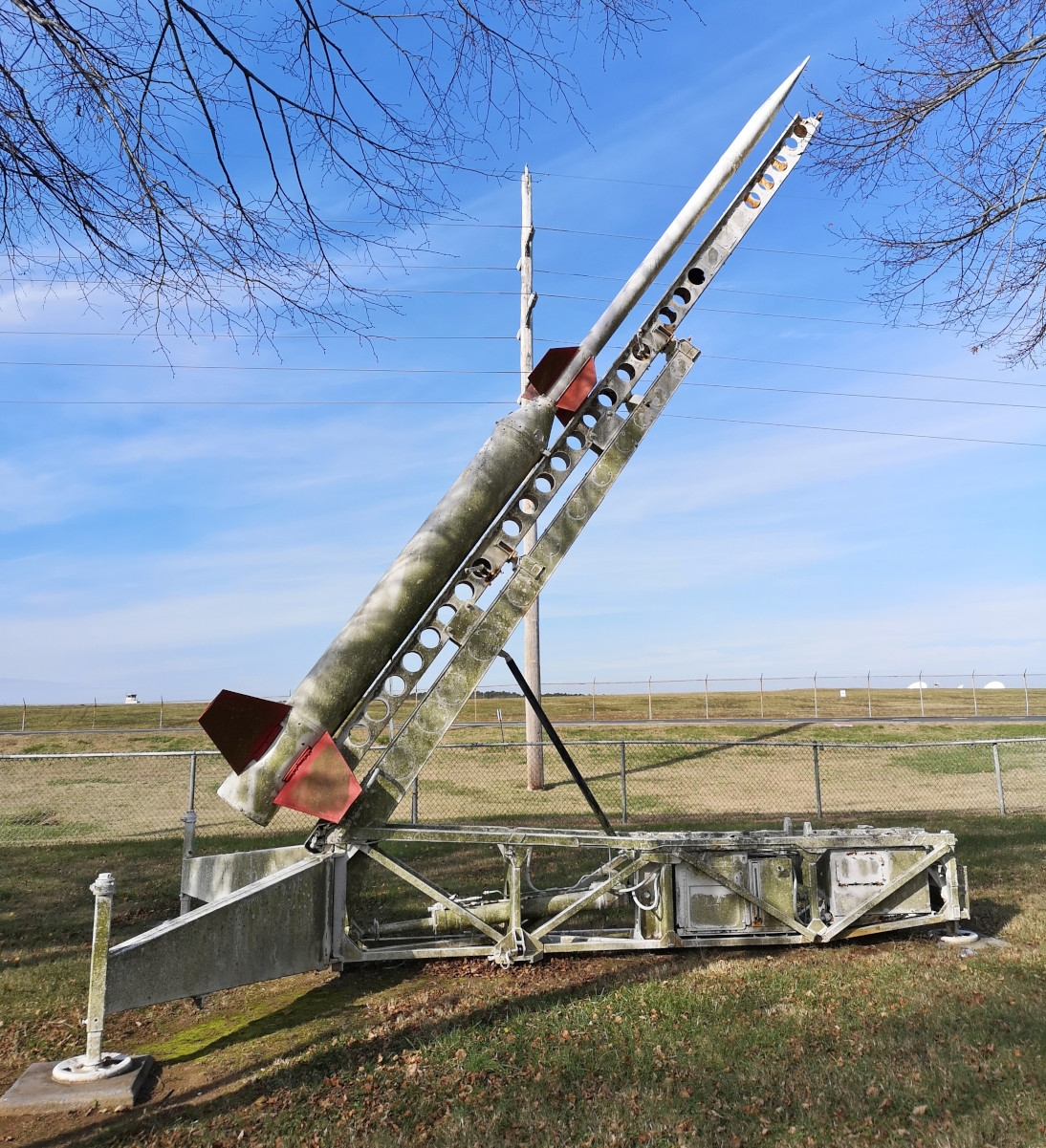
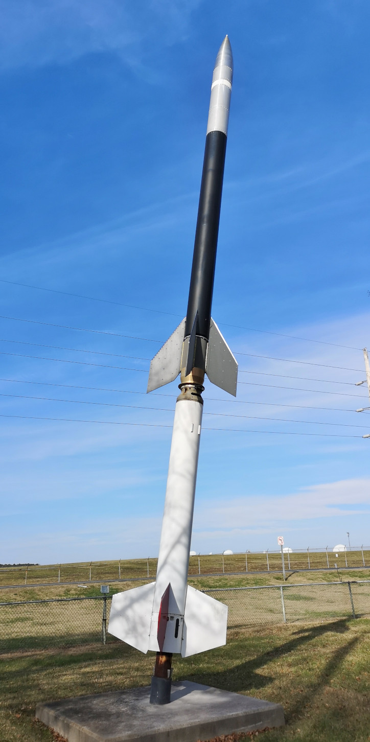
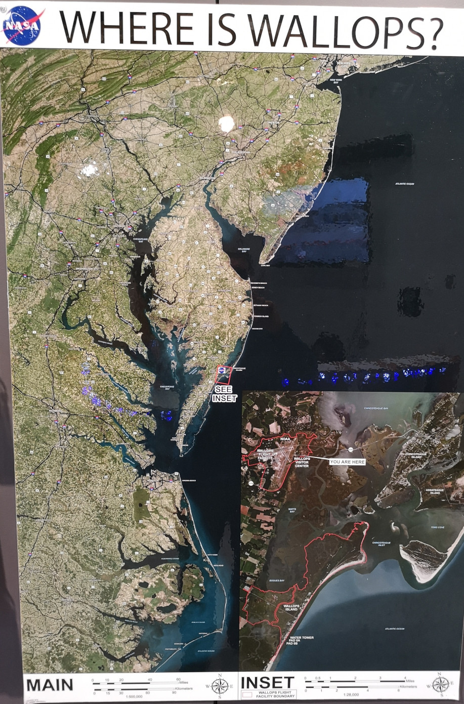
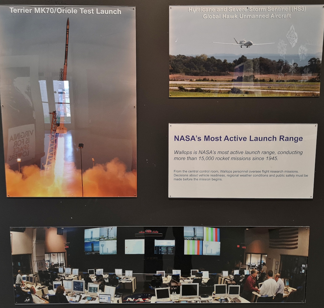
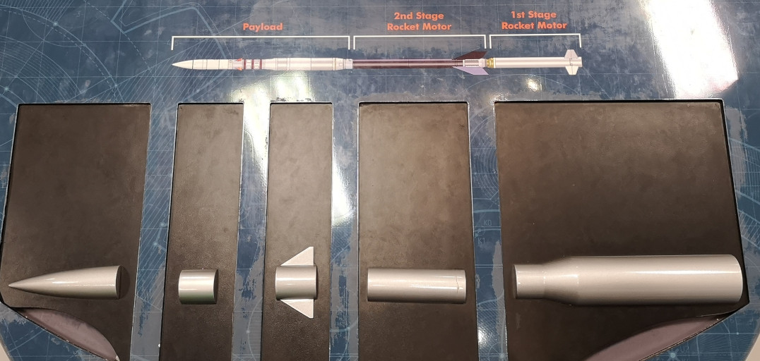
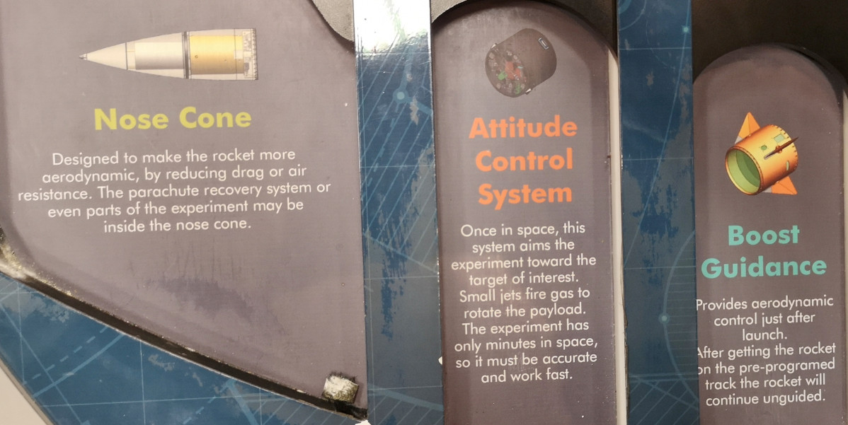
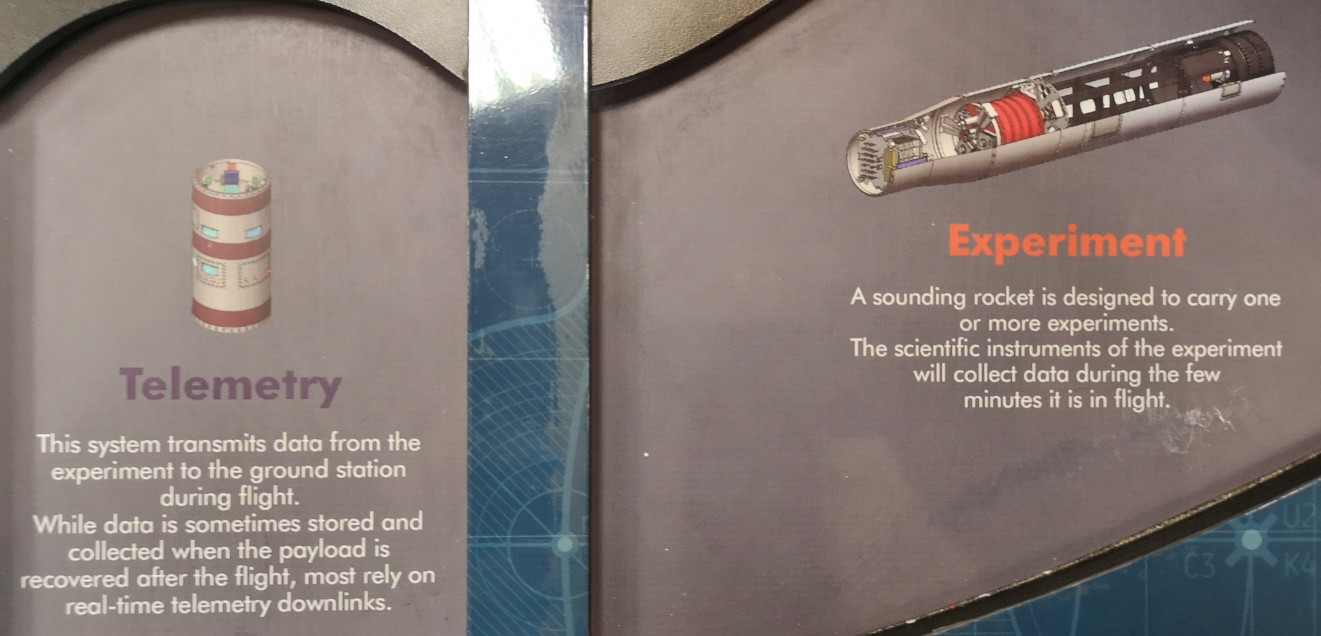
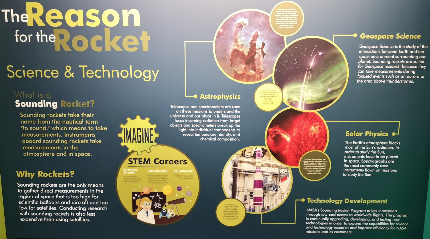
The next day we drove down south to the Chincoteague area in Virginia (another new state for the RV). Our first stop was the Wallops Flight Facility Visitor Center. Wallops is NASA’s location for conducting research using aircraft, scientific balloons and sounding rockets. Wallops has launched more than 15,000 rockets carrying scientific experiments since it was established in 1945. We started off watching a 6-part video explaining how they launched 2 sounding rockets in the Australian Northern Territory to gather data on the stars Alpha Centauri A & B to understand how those stars can help make habitable planets. If you are interested, you can watch the 6 part series at this link (High Above Down Under). Here are some fun facts we learned at this NASA centre:
- The Wallops Flight facility is one of the oldest launch ranges in the country.
- Wallops manages NASA’s suborbital vehicles program using sounding rockets, ballons, and aircraft for scientific research.
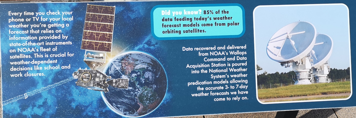
- 85% of the data feeding today’s weather forecast models come from NASA Polar orbiting satellites.
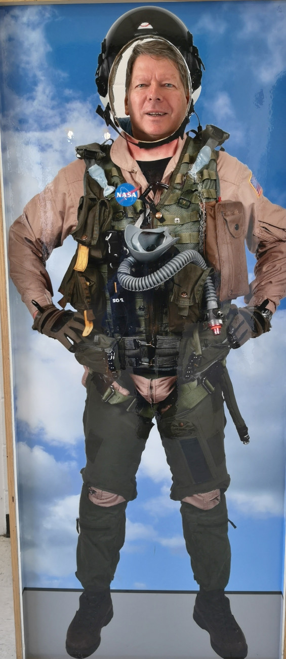
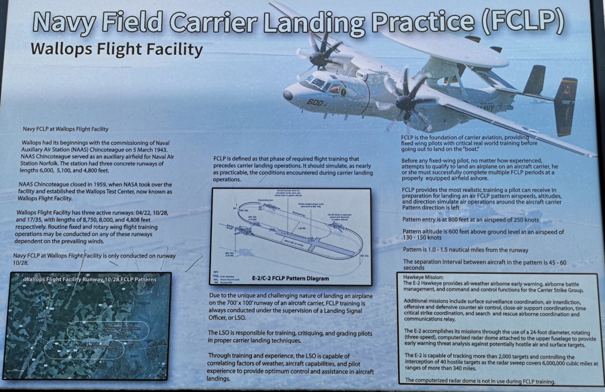
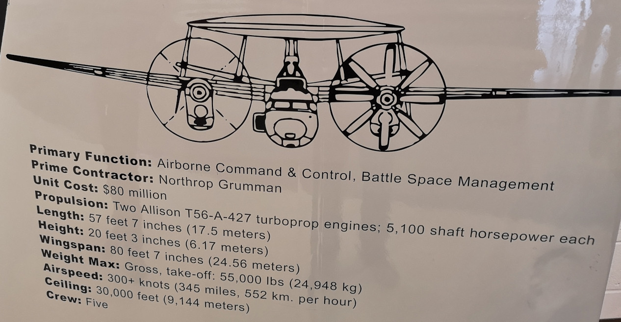
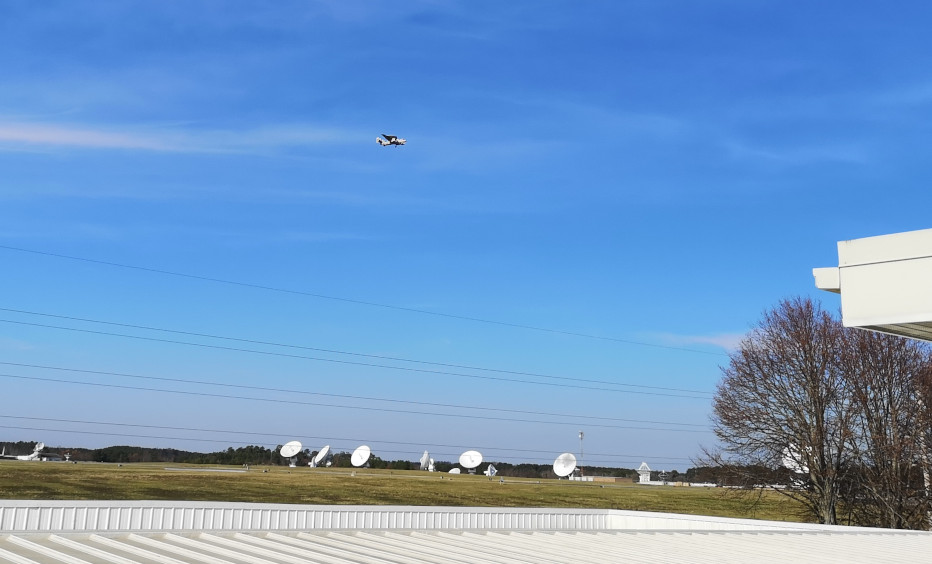
- Wallops is used as the practice location for Navy Field Carrier Landing Practice. What this means is that Navy pilots that need to train to land on Aircraft Carriers use E-2 Hawkeye planes to prepare for landing. The day we were there they were taking off, circling around, and landing so it was interesting to watch from the roof top deck.
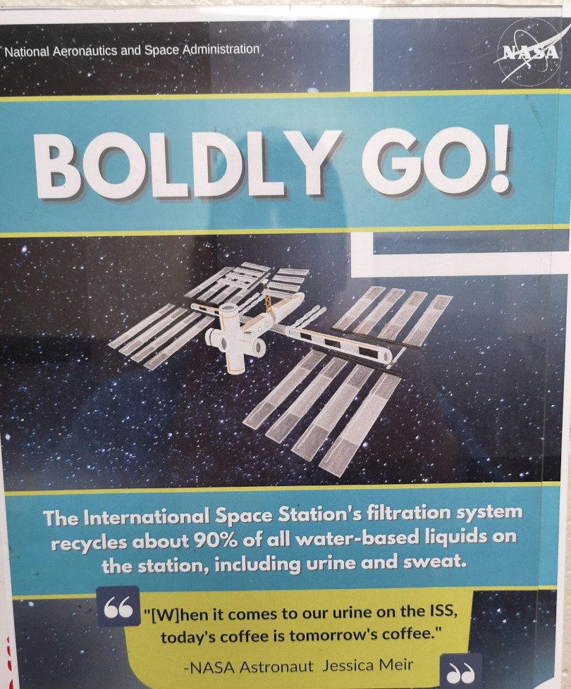
- In the display area we learned about the ISS Space Station, the Ladee spacecraft that was used to study lunar surface, and the Ice-Sat2 satellite used to measure land and sea ice changes.
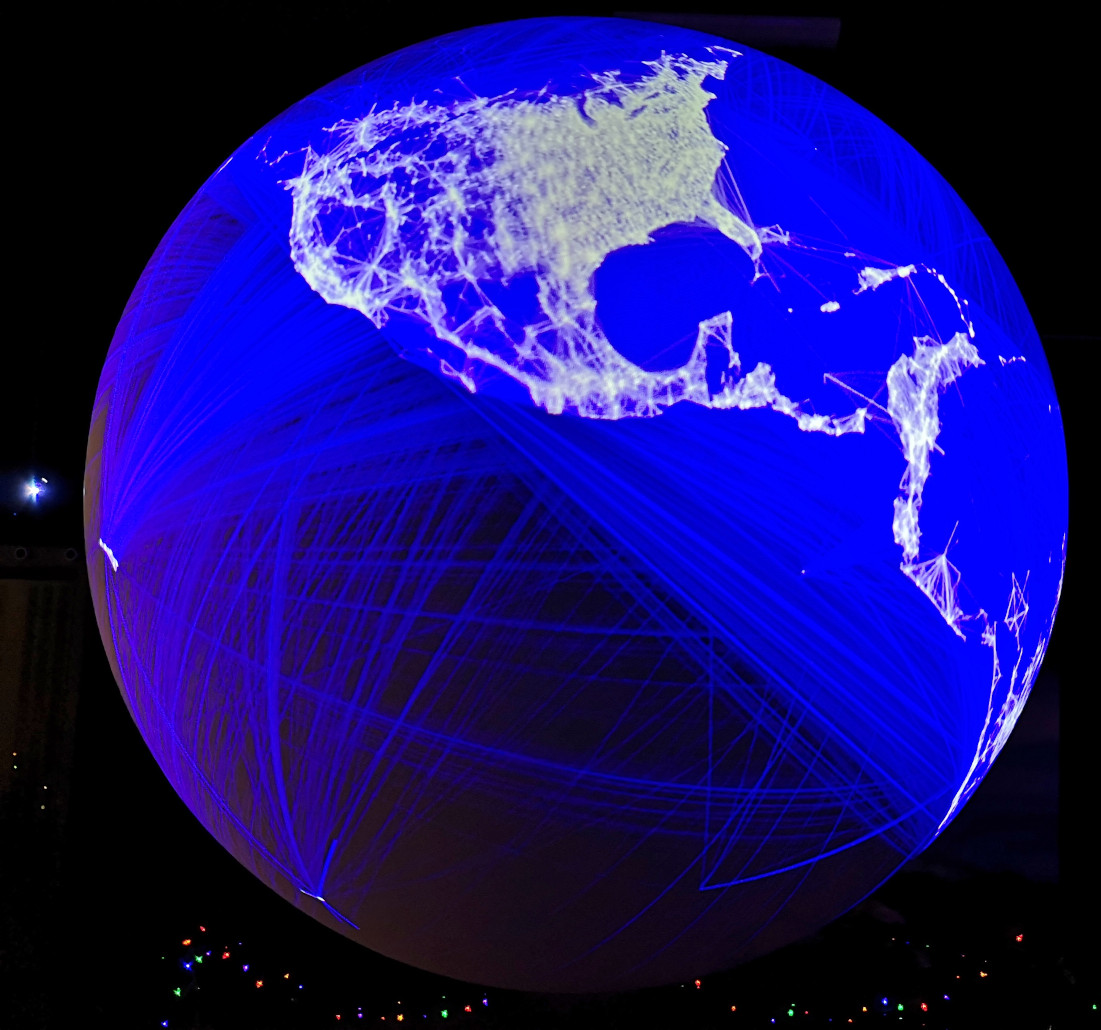
- Lastly, we also saw a cool 3D holographic world that you could display data on. The photo I’ve included showed the 10 million Facebook connections around the world.
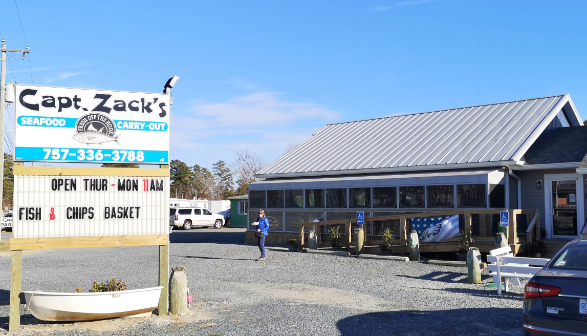
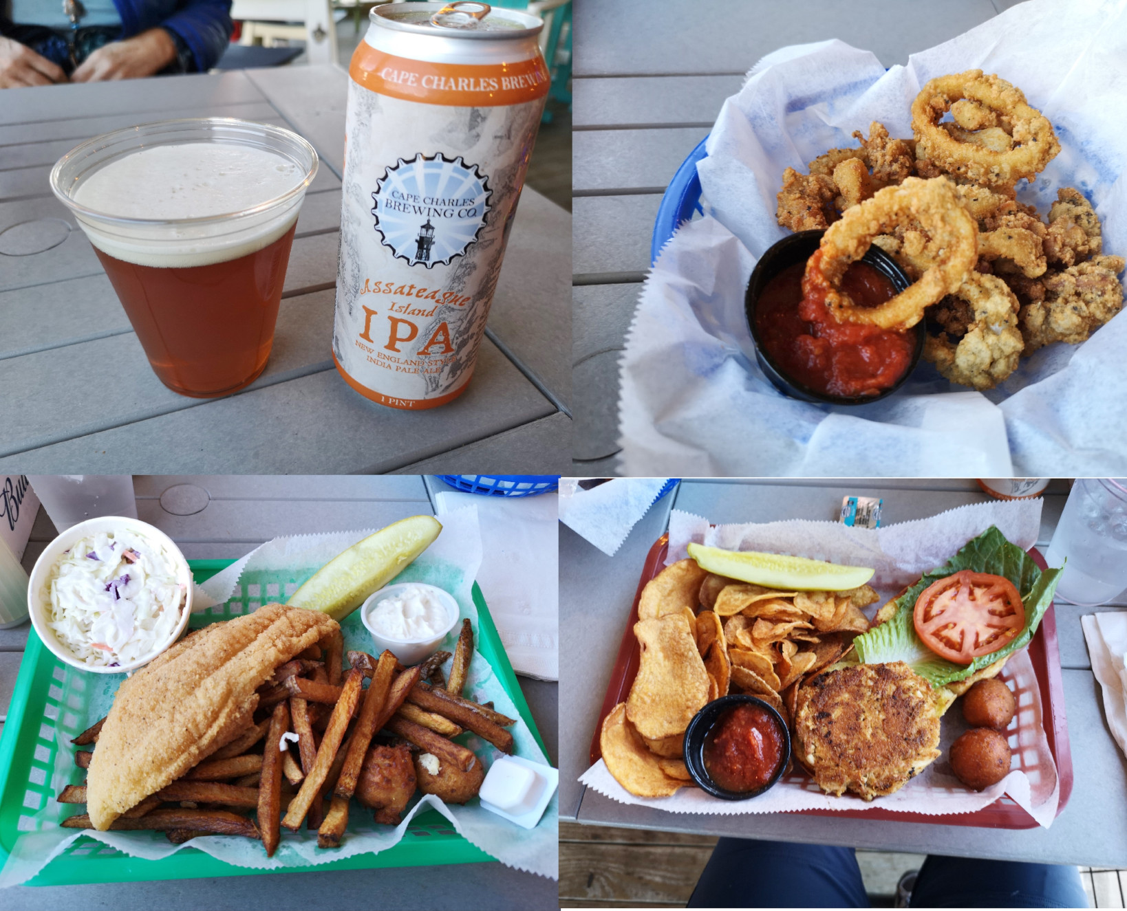
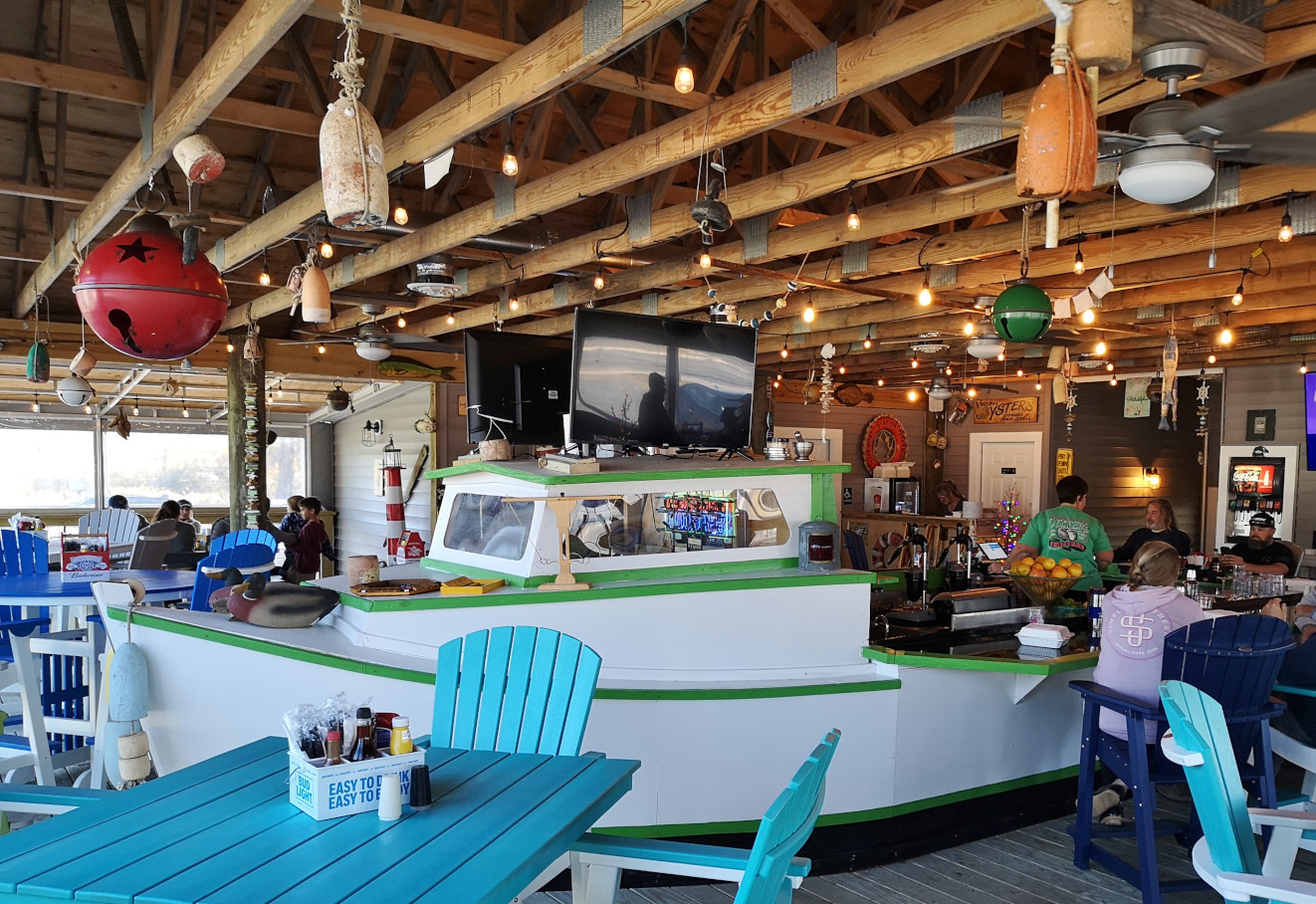
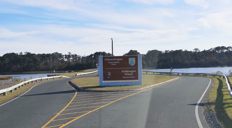
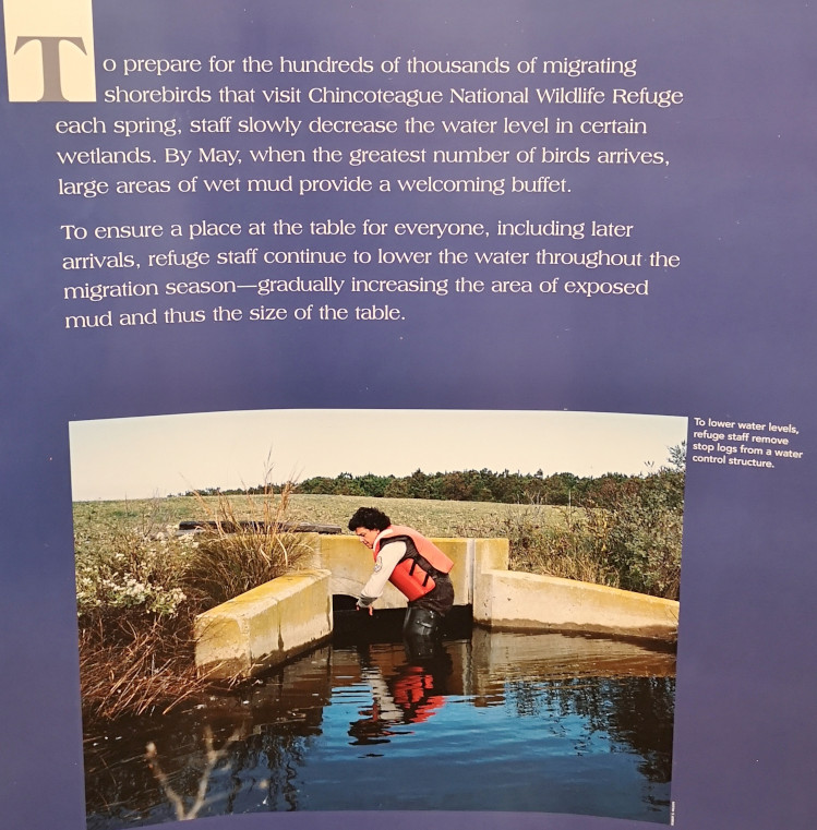
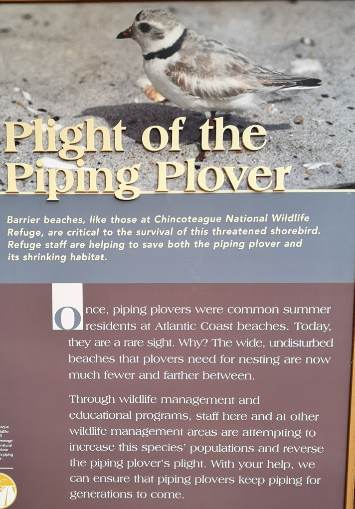
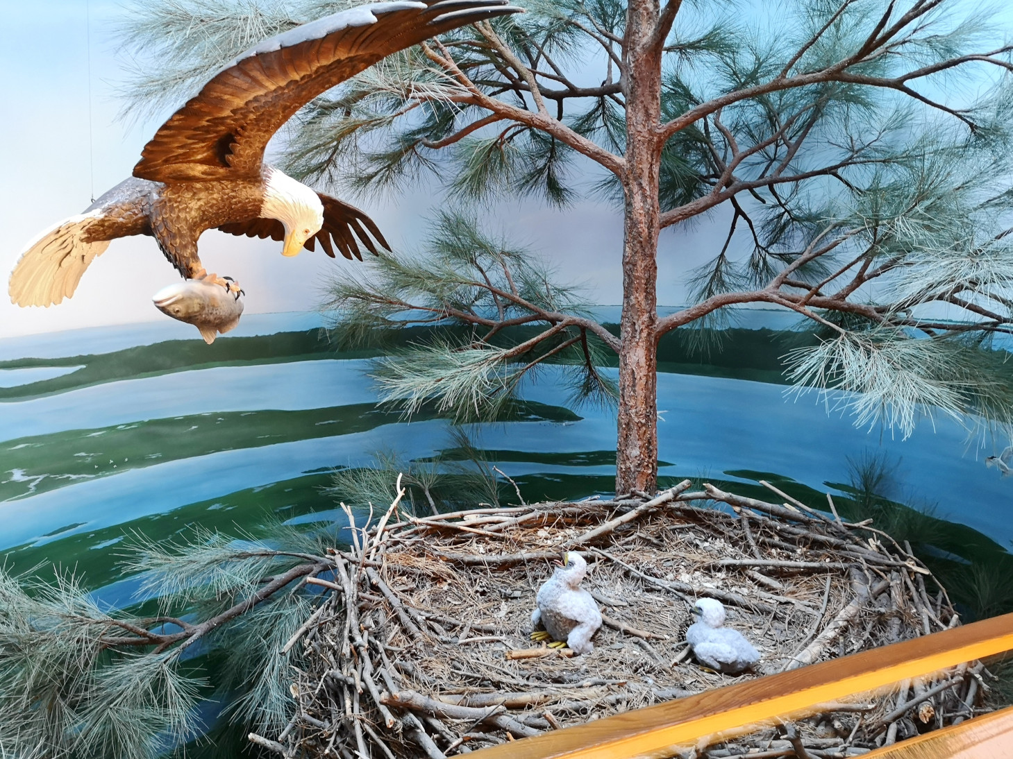
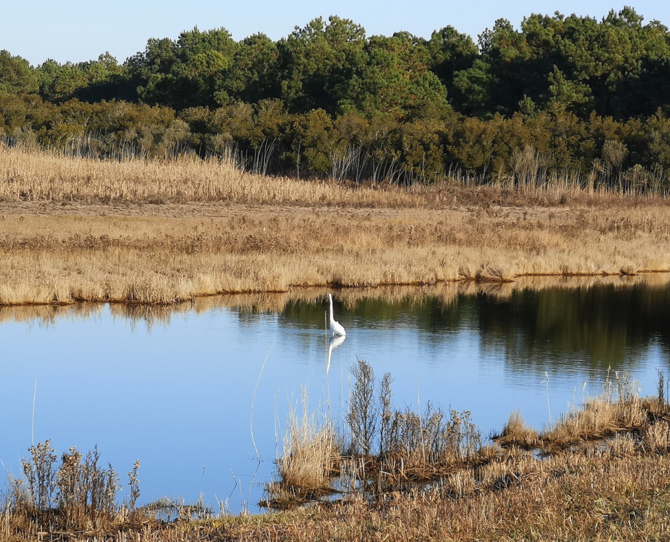
After Wallops we headed across the causeway into the town of Chincoteague. We decided to head to Captain Zack’s for another seafood lunch, this time calamari, cod and chips and a crab cake sandwich. Everything was very good. We drove across another bridge to get to the south end of Assateague to visit the lighthouse and the Chincoteague National Wildlife Refuge Visitor Centre. The volunteer was happy to see us as we were the first people in over an hour. She was busy reading very detailed obituaries in the local paper😉 In the displays we learned how they control the water levels to foster better habitat for the migratory birds including the piping plover. The refuge opened the driving loop to vehicles at 3pm so we did a drive around but didn’t see too much. We continued to the NPS Visitor Centre and then to look at the beach area before heading back to see the Chincoteague horses from a distance. These are not wild like the Assateague horses we saw earlier. These ones are owned by the volunteer fire department and have a grazing permit on the national park land. Every year they swim the colts across the bay to an auction so they can raise money for the fire department. There is an old children’s book about Misty from Chincoteague that our sister-in-law Christine loved as a kid. Have you read the book?


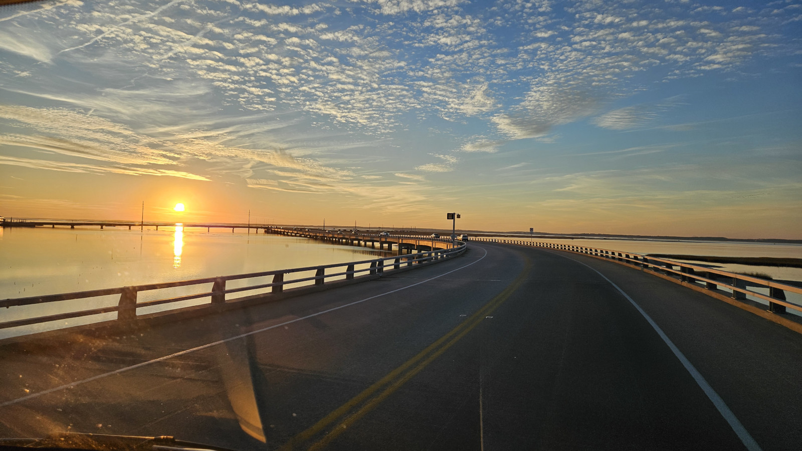
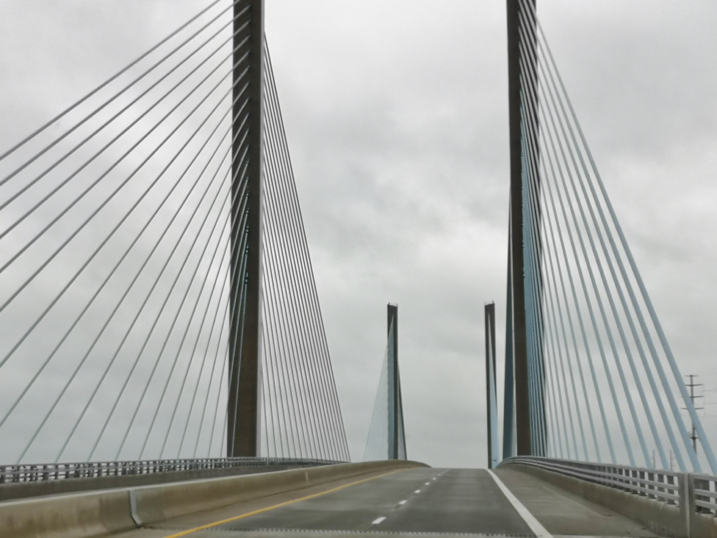
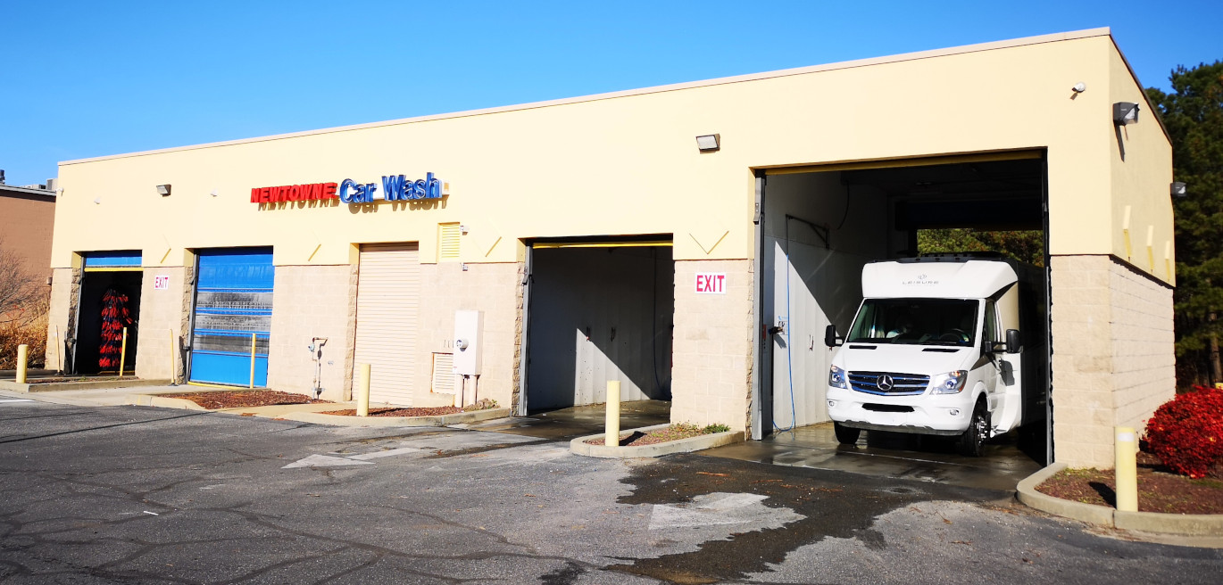
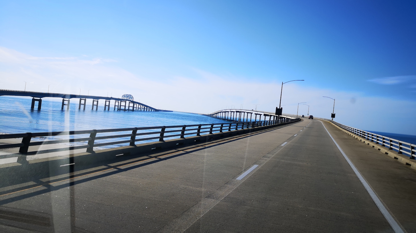
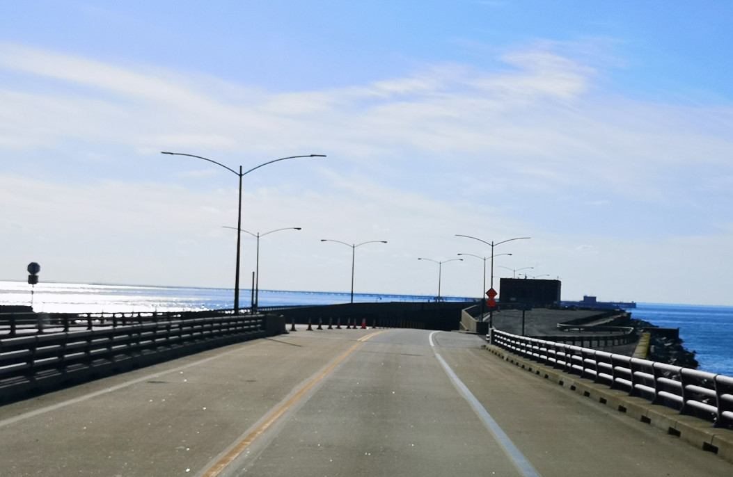
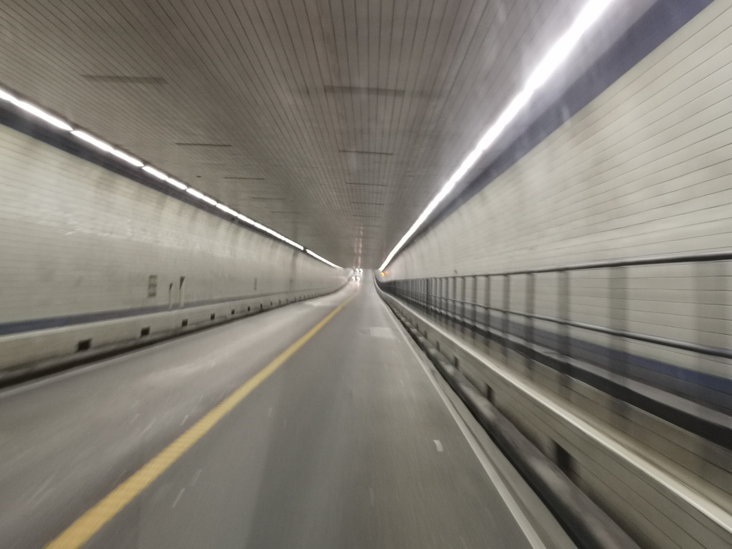
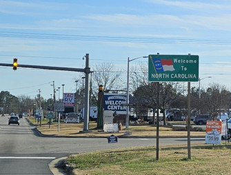
The next day we needed to stop for some groceries in Pocomoke City and conveniently they had a car wash with a tall bay right across the street so we took the opportunity to give Plankton a bath and wash off the salt from the northern roads and the salt spray from the coastal areas. We continued the drive south until we reached the Chesapeake Bay Bridge, a 17.6-mile-long journey including two tunnels in areas to allow big freighters to get into Chesapeake Bay. When we exited the bridge, we headed from Virginia (no camping here this trip) into North Carolina.
Our next blog will start with Cape Hatteras National Seashore in North Carolina.

Morning Joel and Sharon 💕💕
Fascinating read! As always, I feel like I’m seeing it all with you. Those wild horses…wow! Just having coffee before heading to the hangar for our CHAA Christmas get together. Will reread when I get back and will explore each picture in more depth. Warmest hugs!
LikeLiked by 1 person
Thanks so much for your comments Sandra, we really appreciate them👍 Hope you have a great CHAA get together 🥂
LikeLike
I really enjoyed seeing the photo of Sharon with her ice cream on that really cool ice cream cone table!!!! I’m happy to see that you’ve had decent weather so far and hope it stays that way. We’ve been thinking about you when we saw the weather bomb heading up the eastern seaboard this past week!!!
Stay safe, as always. Looking forward to the next chapter!!!
LikeLiked by 1 person
The weather bomb did impact us. We heard it was coming and then headed inland for 3 nights. We had rain all day on that Sunday but we only got 40 mph winds instead of 70 mph winds. We came back to the Outer Banks coast now and as we drove south from Nags Head and eventually on to Ocracoke Island they were still clearing the road of sand and salt water in several areas. Sure glad we weren’t on the Outer Banks when the 14′ storm surge came through 🙃 We’re heading to Cedar Island on Saturday and will be there through Xmas with a campsite on the waterfront 😎 Hope you guys are doing well and have a great holiday 🌲⛄
LikeLike
Hello Sharon and Joël,
Big floods in December all over France, after a very dry autumn. Fortunately, Savoie was not the worst-hit region in France!
I see you’re really enjoying the weather in the US at the moment. Thanks for maintaining your website, it’s a lot of work and always very interesting for us to read. I like the video of the wild horse, which walks well on the yellow line of the road!
A Merry Christmas to you both on the road again. 🎄🎁😎🥰
LikeLiked by 1 person
Thanks very much for your comments Patrick. Yes it was like the horse was walking the line for a sobriety test 🤣 We also got your year recap video so we’ll watch that today. All the best to you and your family 🌲⛄
LikeLike
Merry Christmas. Finally have some time to read the 2nd blog of this trip. Your seafood pictures are getting me hungry, even though I’ve been snacking most of this Christmas Day! hahaha.
LikeLiked by 1 person
More in the next blog as well. Lots of seafood places on this coast😋
LikeLike
Thanks for your help getting reconnected to the blog. I enjoyed catching up & look forforward to reading of your new travels . AB
LikeLiked by 1 person
Glad it worked for you AB👍
LikeLike