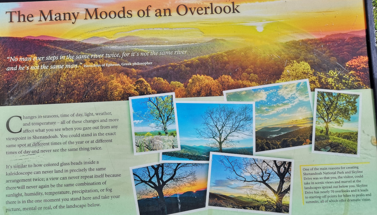
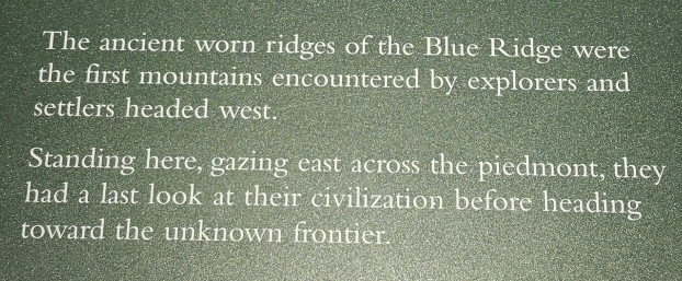
“No man ever steps in the same river twice, for it’s not the same river and he’s not the same man” Heraclitus of Ephesus Greek Philosopher
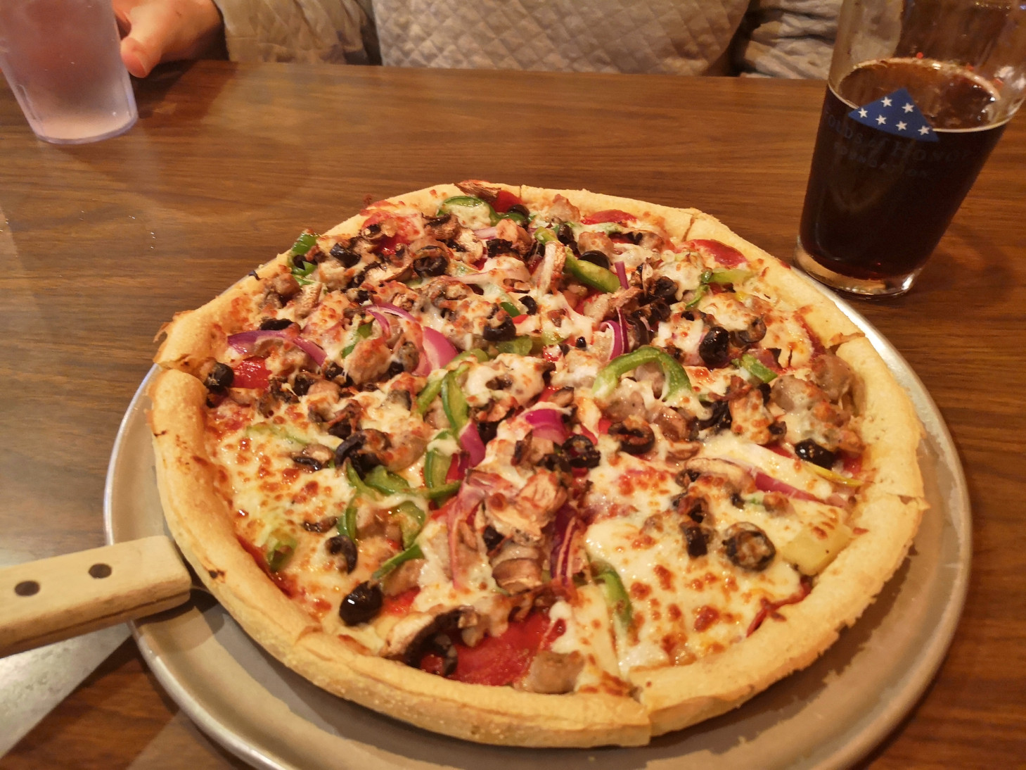
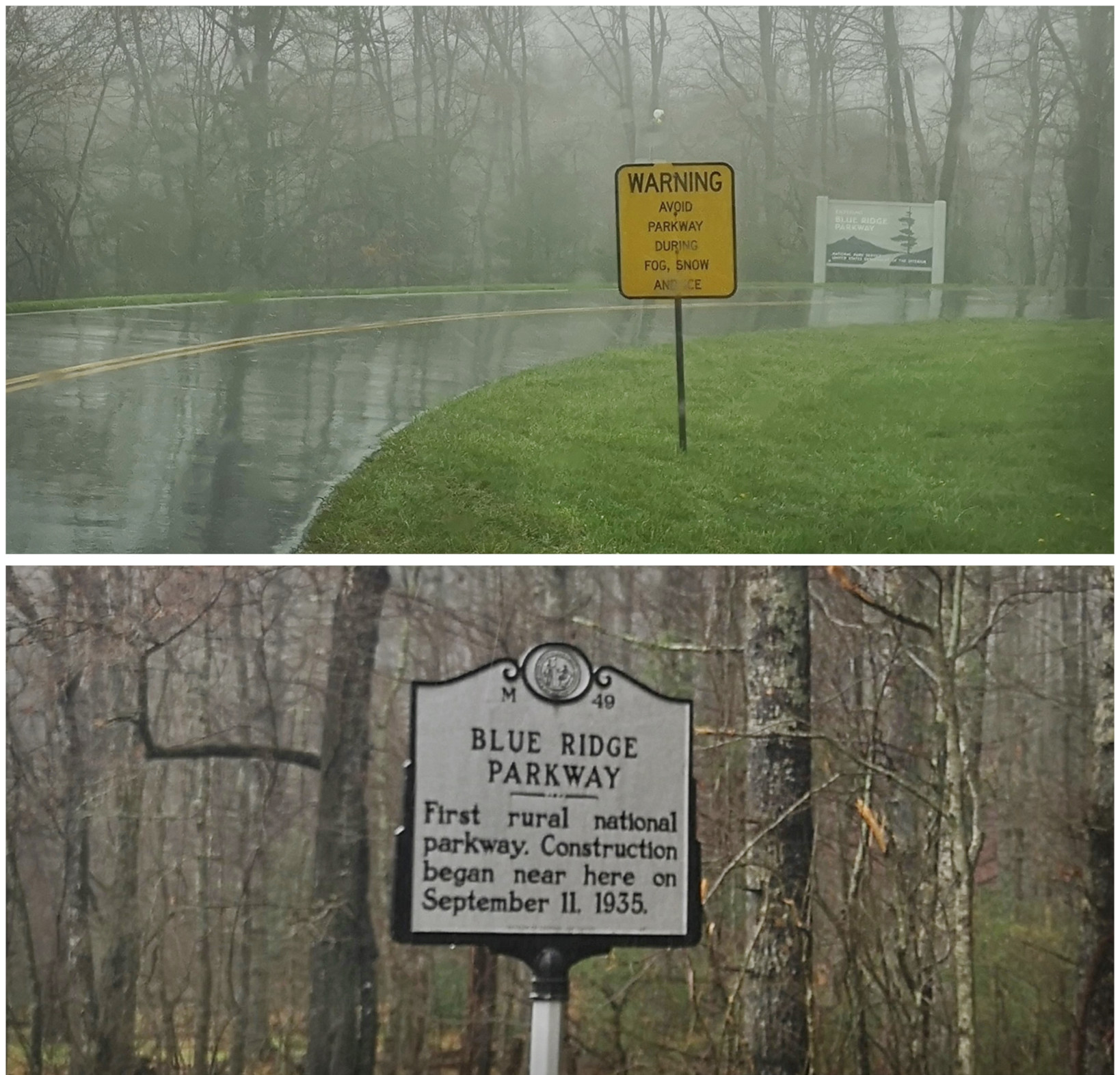
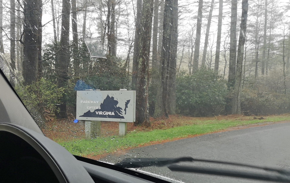
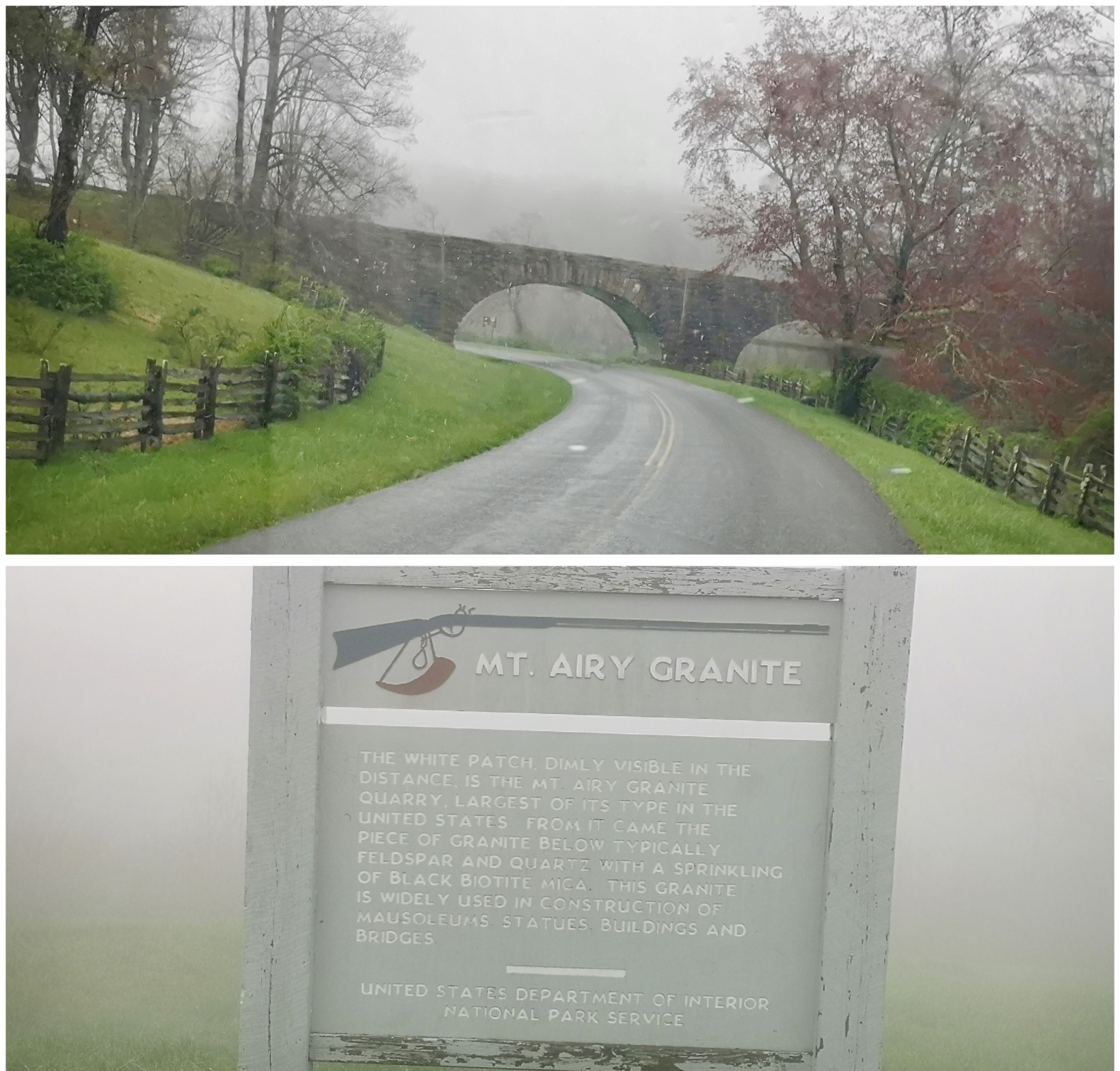
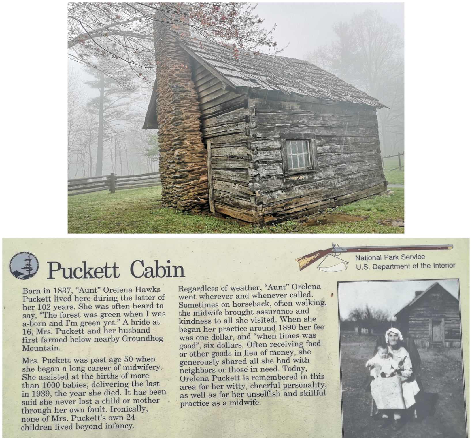
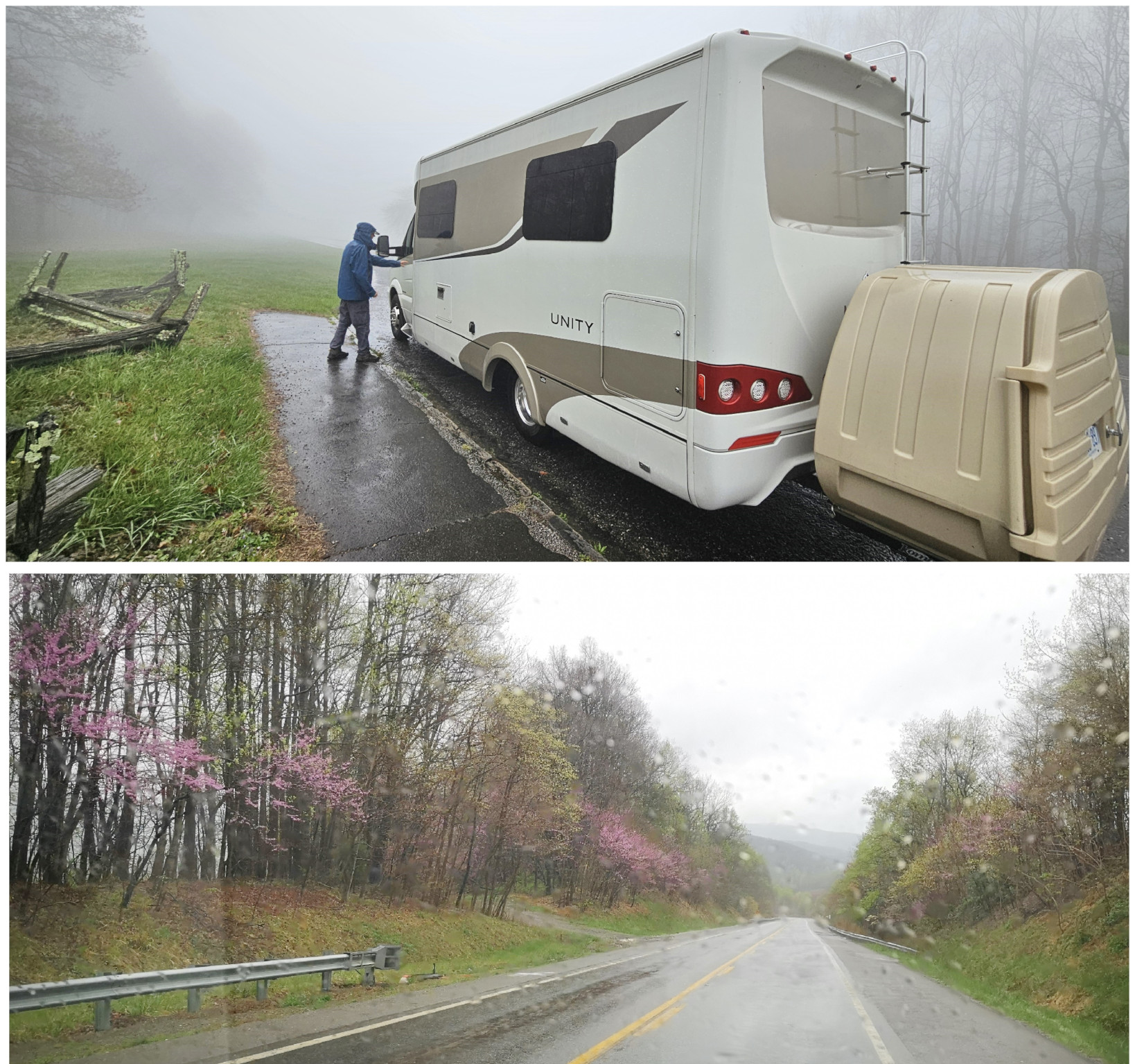
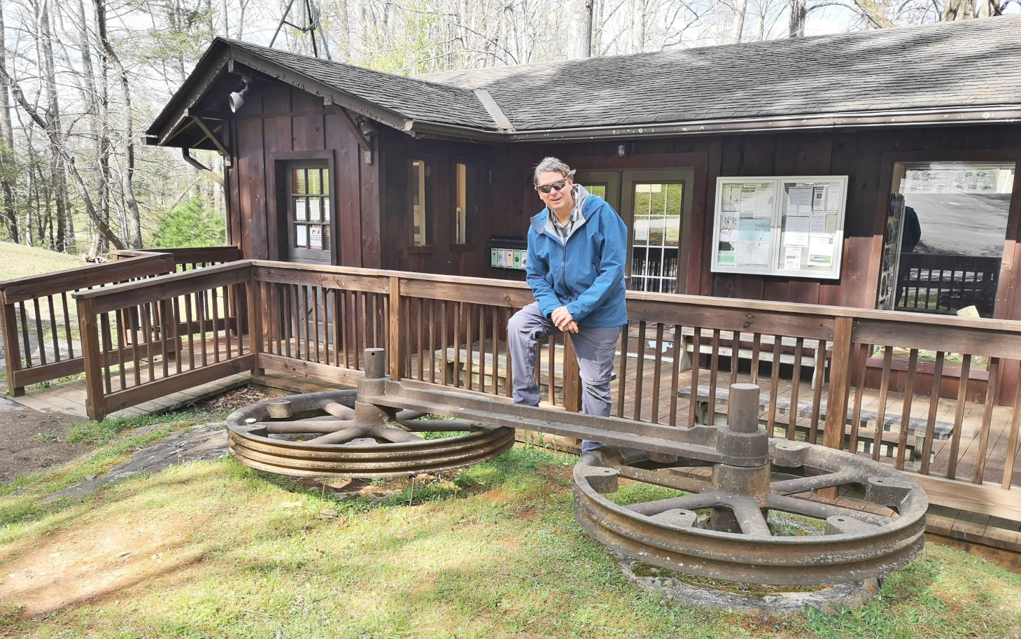
It was pouring buckets the next morning when we left Stone Mountain SP, so we stopped in Sparta NC to get some groceries and to have lunch at the Main Street Pizzeria & Taphouse. I had the Hi-Wire Irish Stout (local craft beer from Ashville NC) and we shared a Veggie Delight pizza for lunch, both were good. After lunch we went back on the Blue Ridge Parkway and the first couple of signs were don’t drive the Parkway in the fog (and of course it was foggy and rainy again) and a sign about this area being where the construction began in 1935. Next, we left North Carolina and entered Virginia (a new state for us) on the Parkway, our destination being Fairy Stone SP. We saw more arched bridges and a sign about the Mt Airy quarry where much of the Granite used in the Parkway construction was sourced. We stopped to see the Puckett cabin where Orlena Puckett had lived in the later part of her 102 years. She was well known in the area as a midwife who delivered over 1000 babies. We carried on in the fog as it wasn’t quite as bad as the other day but eventually exited a bit early to go to Fairy Stone SP. The campsites there were wildly unlevel with heaving asphalt throughout the campground. We learned later that this year they will close the park and redo the whole campground.

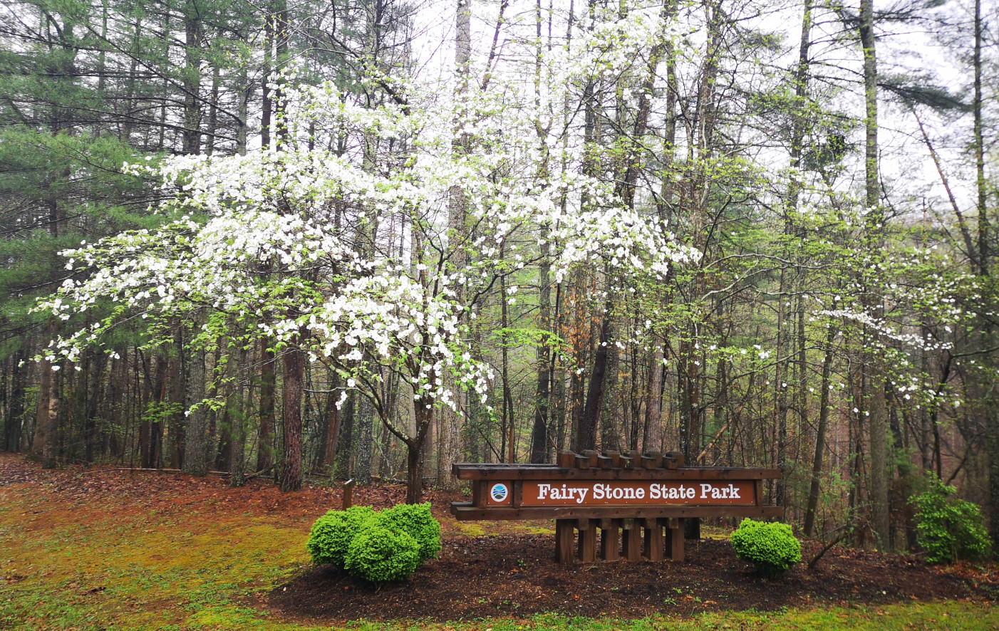
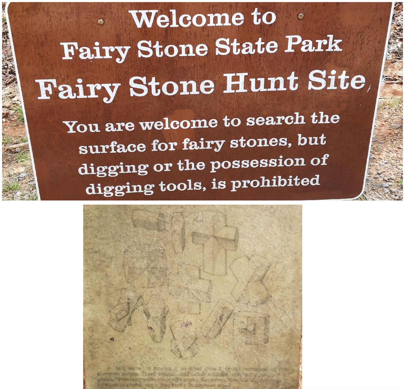
Fairy Stone SP is the largest park in Virginia of the original 6 parks that opened in 1936, of course built by the CCC. It is famous for it’s “fairy stones”, the scientific name is Staurolite (Staurolite). The stones come in 4 shapes, Single, Roman Cross, Maltese Cross, and St. Andrews Cross (Fairy Stone Shapes), and they are considered as good luck pieces.
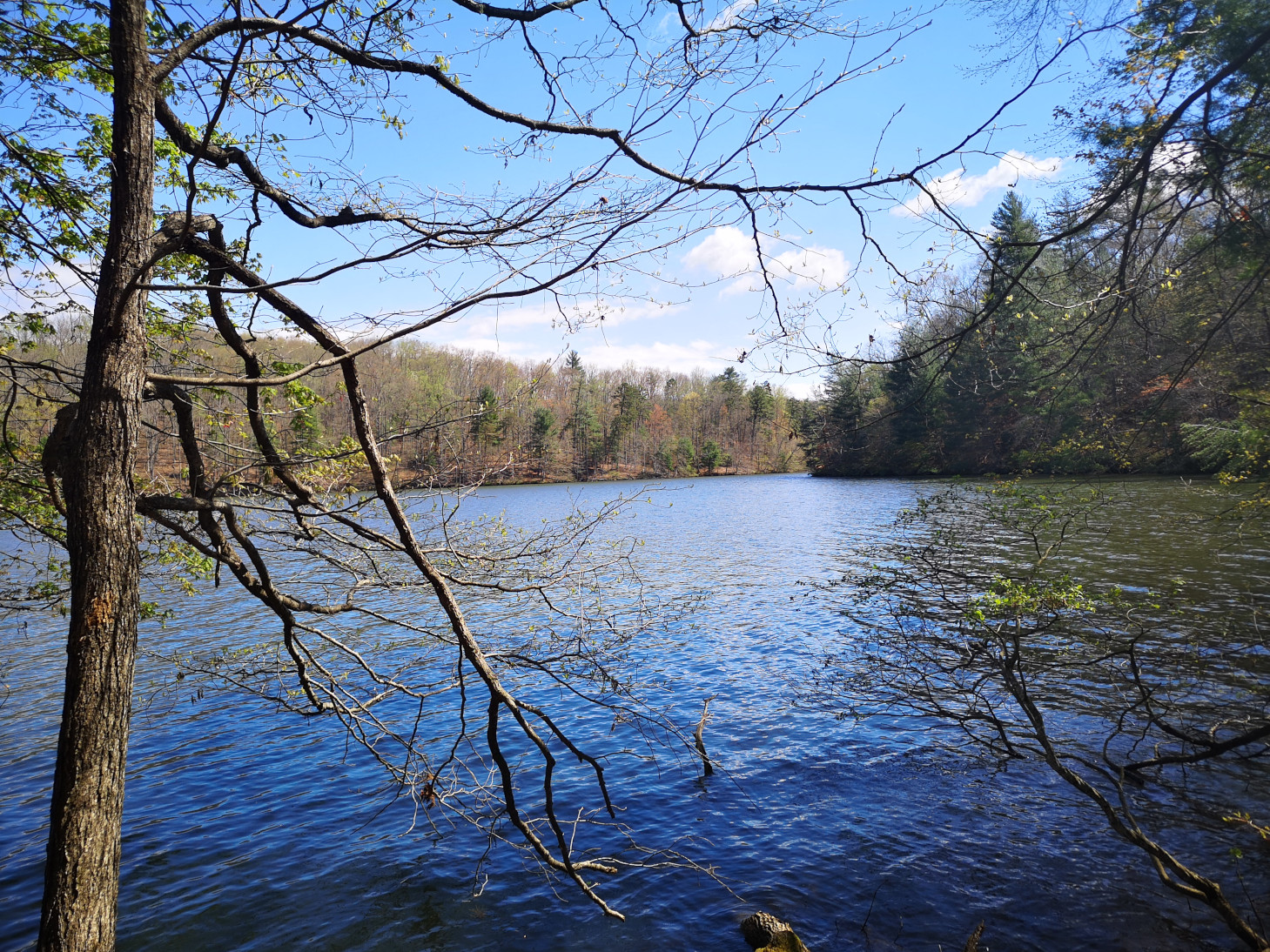
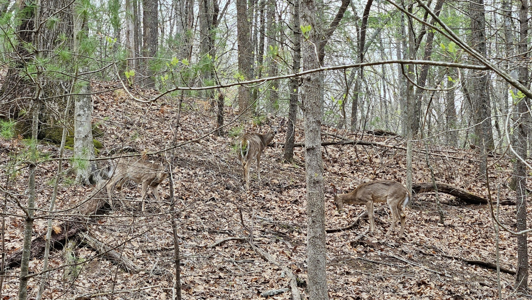
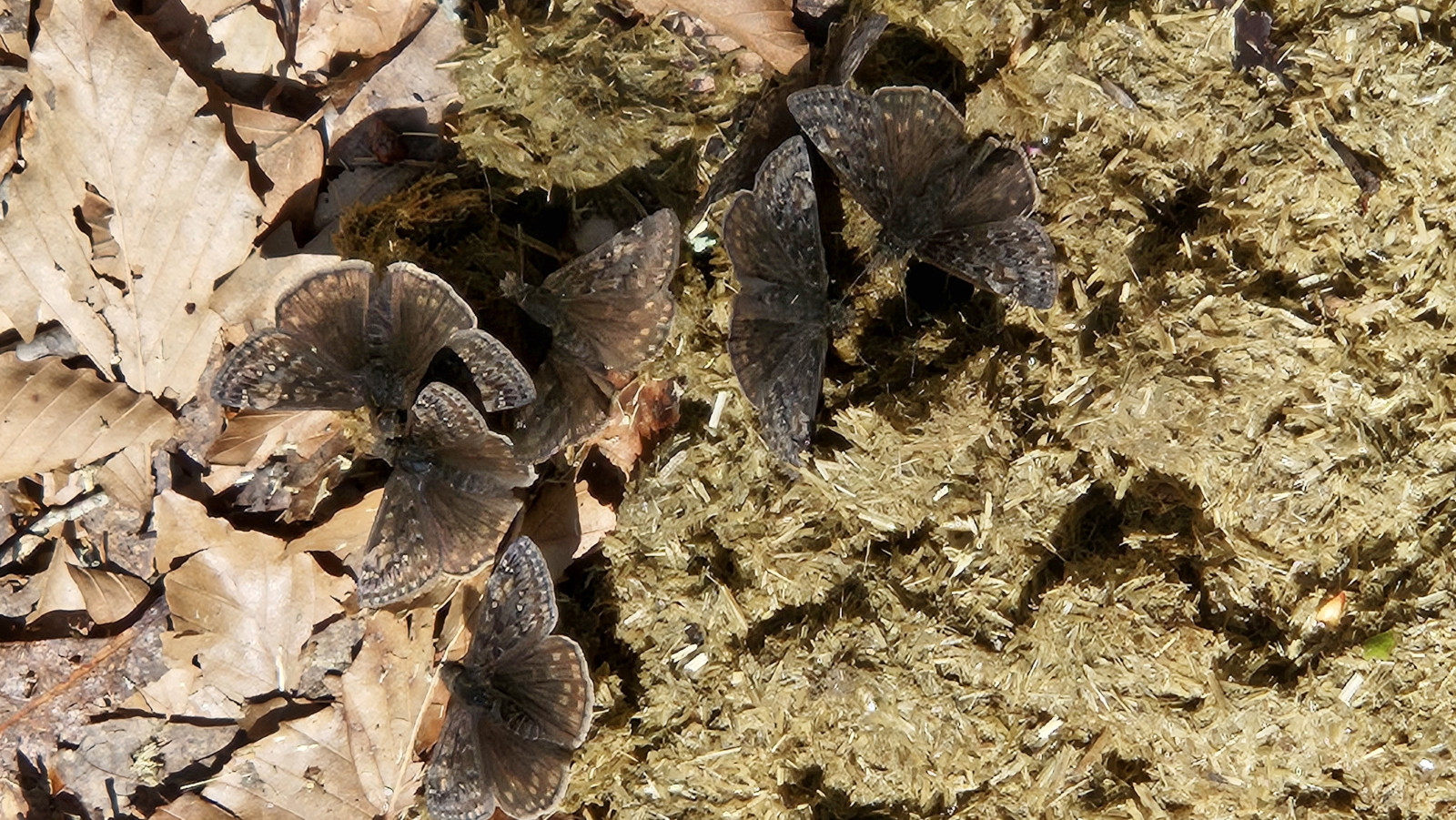
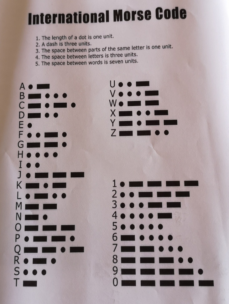
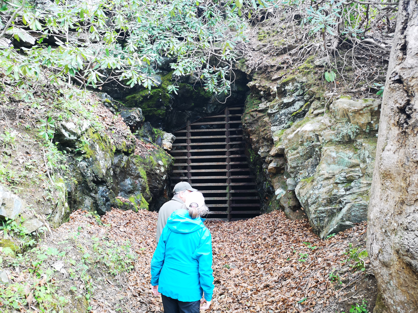
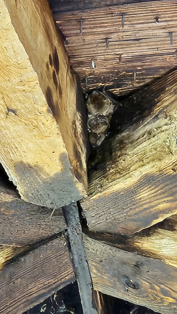
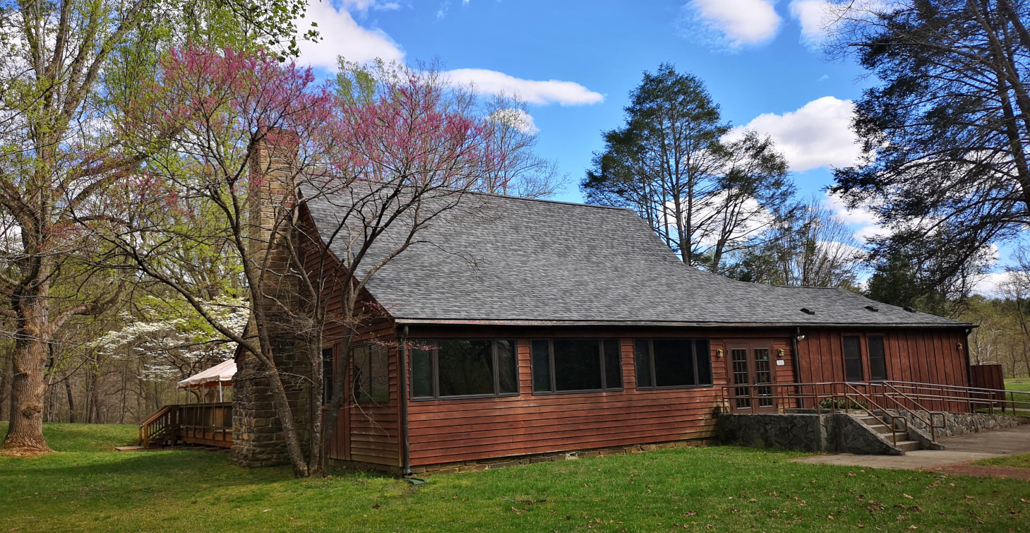
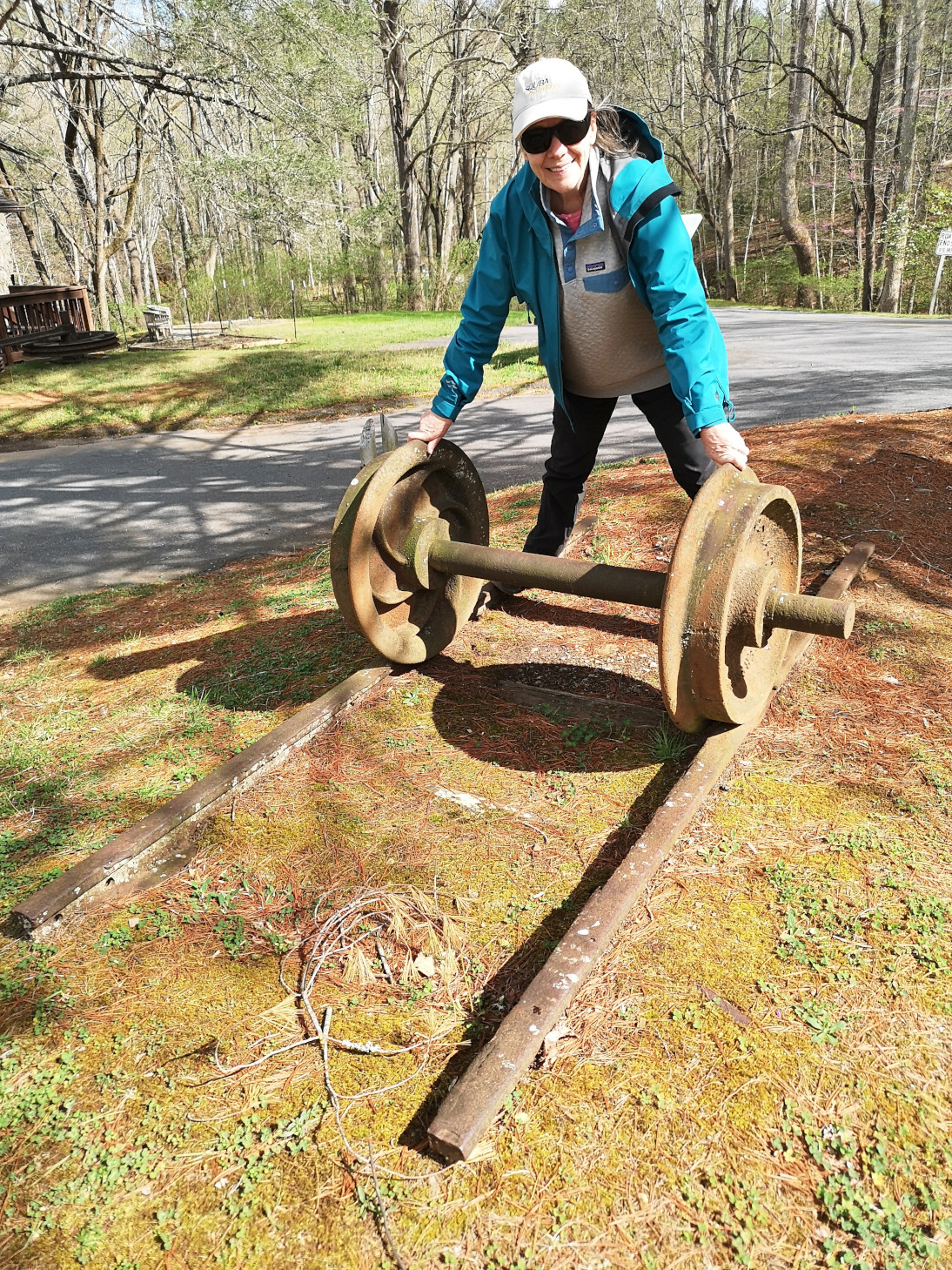
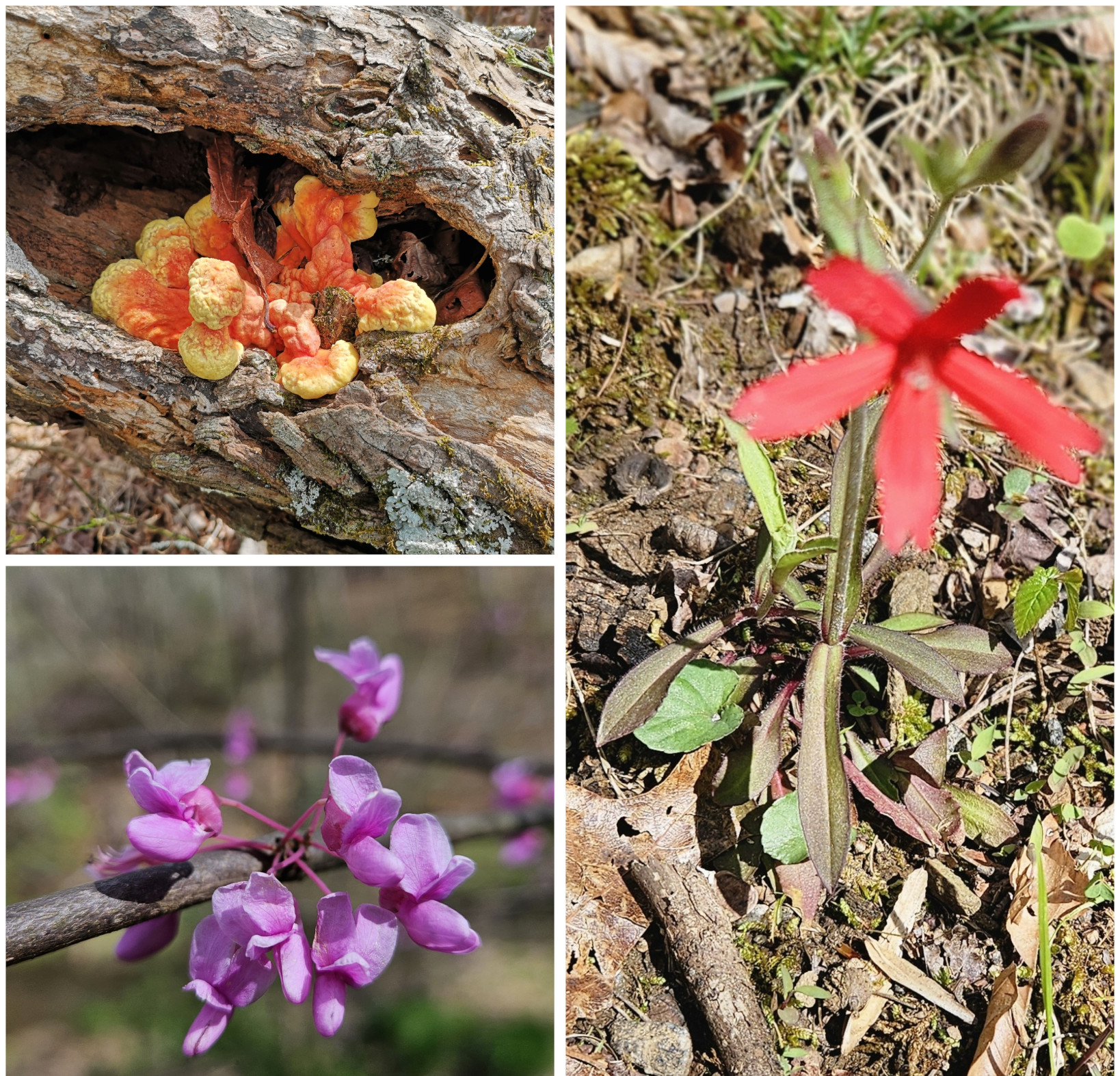
We were staying 2 nights at Fairy Stone SP so on our full day there it was nice and sunny, so we did a 5 km hike on the Lakeshore trail to the far end of the lake where the spillway flowed downstream. On the way back we saw 3 white tailed deer foraging in the forest and we saw butterflies in a pile of horse poop (apparently they get sodium and amino acids from the poop and it’s called mud-puddling, who knew😉). When we returned to the RV, we were looking at the ranger led schedule, so Sharon attended the Fairy Stone Workshop but unfortunately, they expected you to have already gone hunting for them (and we hadn’t yet). A bit later I joined up and we attended the Fayerdale missing mining town presentation. The ranger was incredibly knowledgeable and even though we were the only 2 people who came he spent 1.5 hours with us explaining the history of the mining town, talking about morse code communication in the early days, and then he walked us over to the sealed-up entrance for one of the mine shafts. This park had the most extensive list of ranger led programs of any of the parks we visited on this trip.
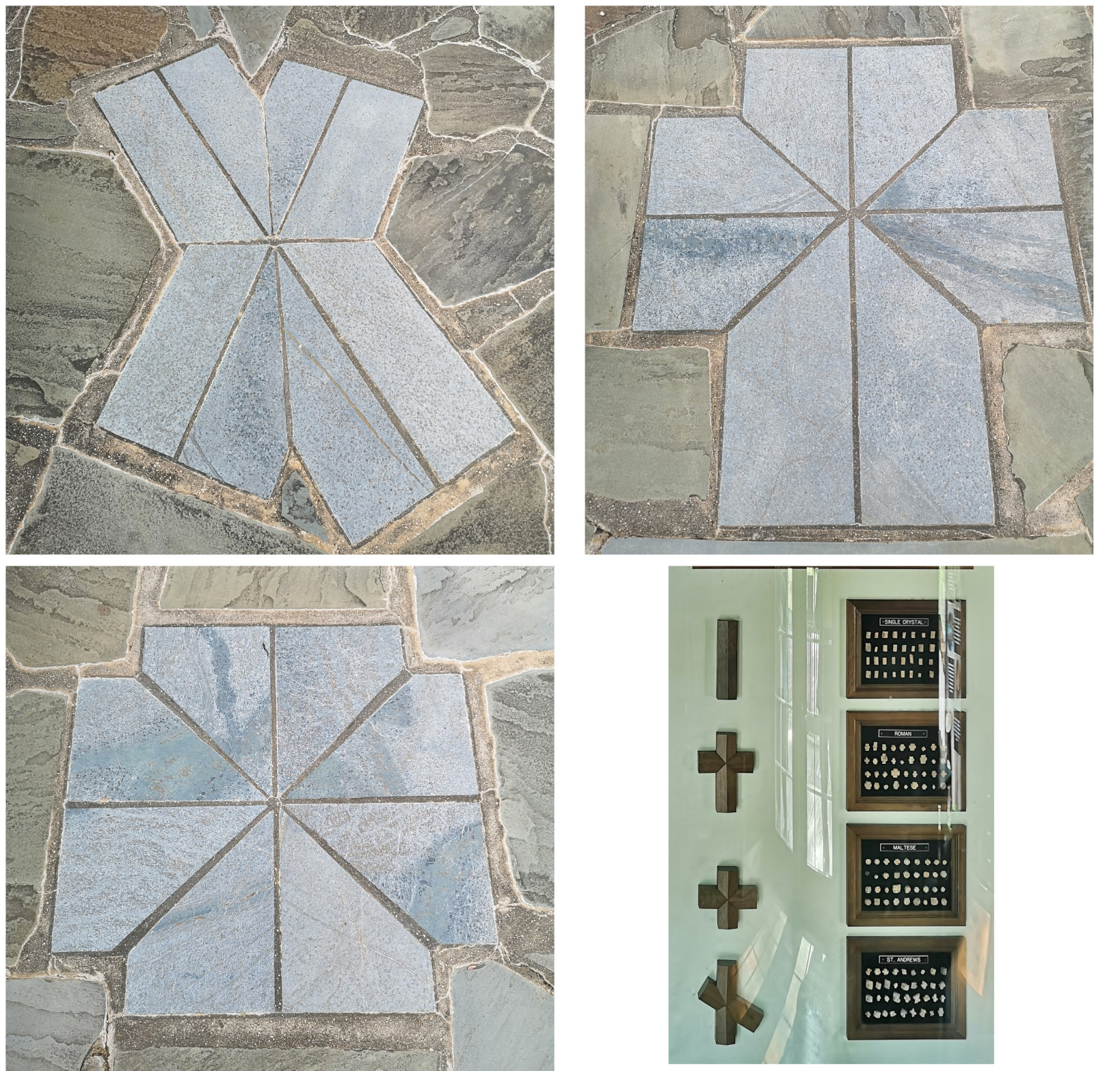
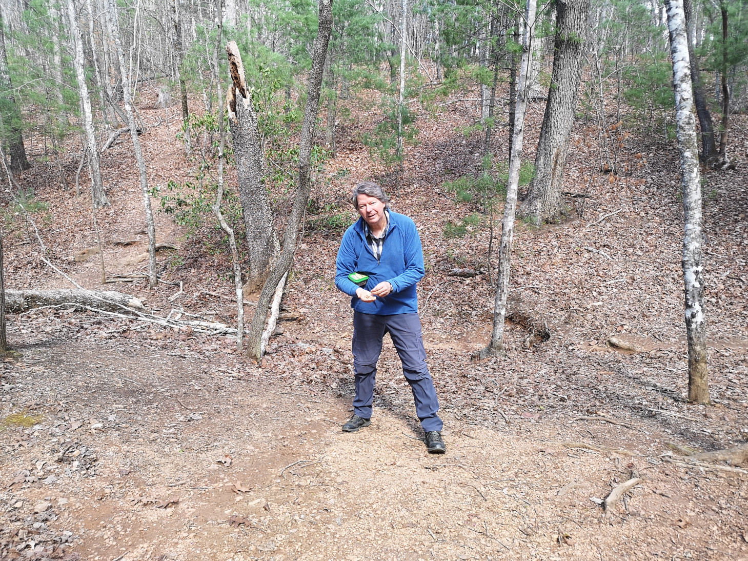
The place where you hunt for Fairy Stones was not actually where the campground and CCC buildings were located, it was east along the highway. Therefore, we decided the next day when we were leaving, we would go and hunt for some stones. The ranger had explained how to find them and told us to go further up the valley to have a higher chance of finding some. Due to the rain a couple of days before more were exposed so we were lucky enough to find at least one of each of the shapes in our 1 hour of sifting through the surface rocks!
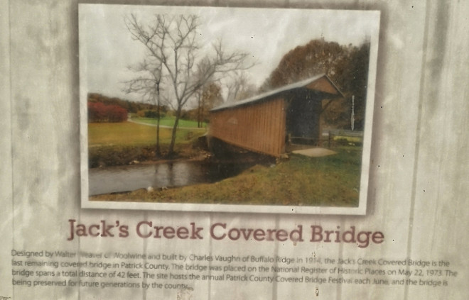
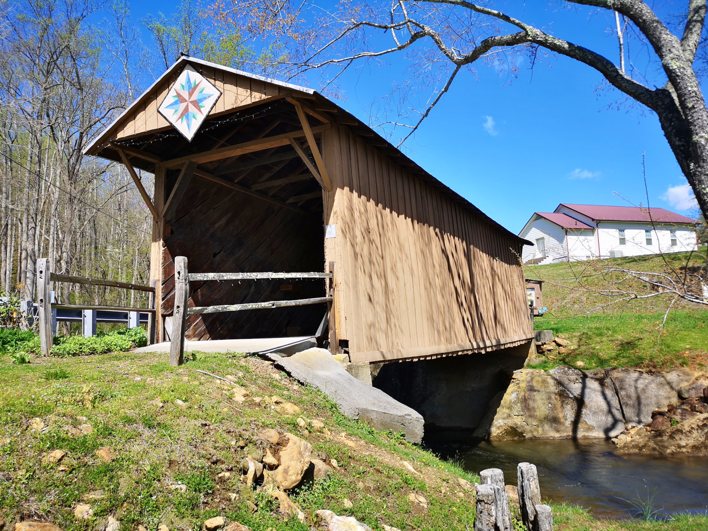
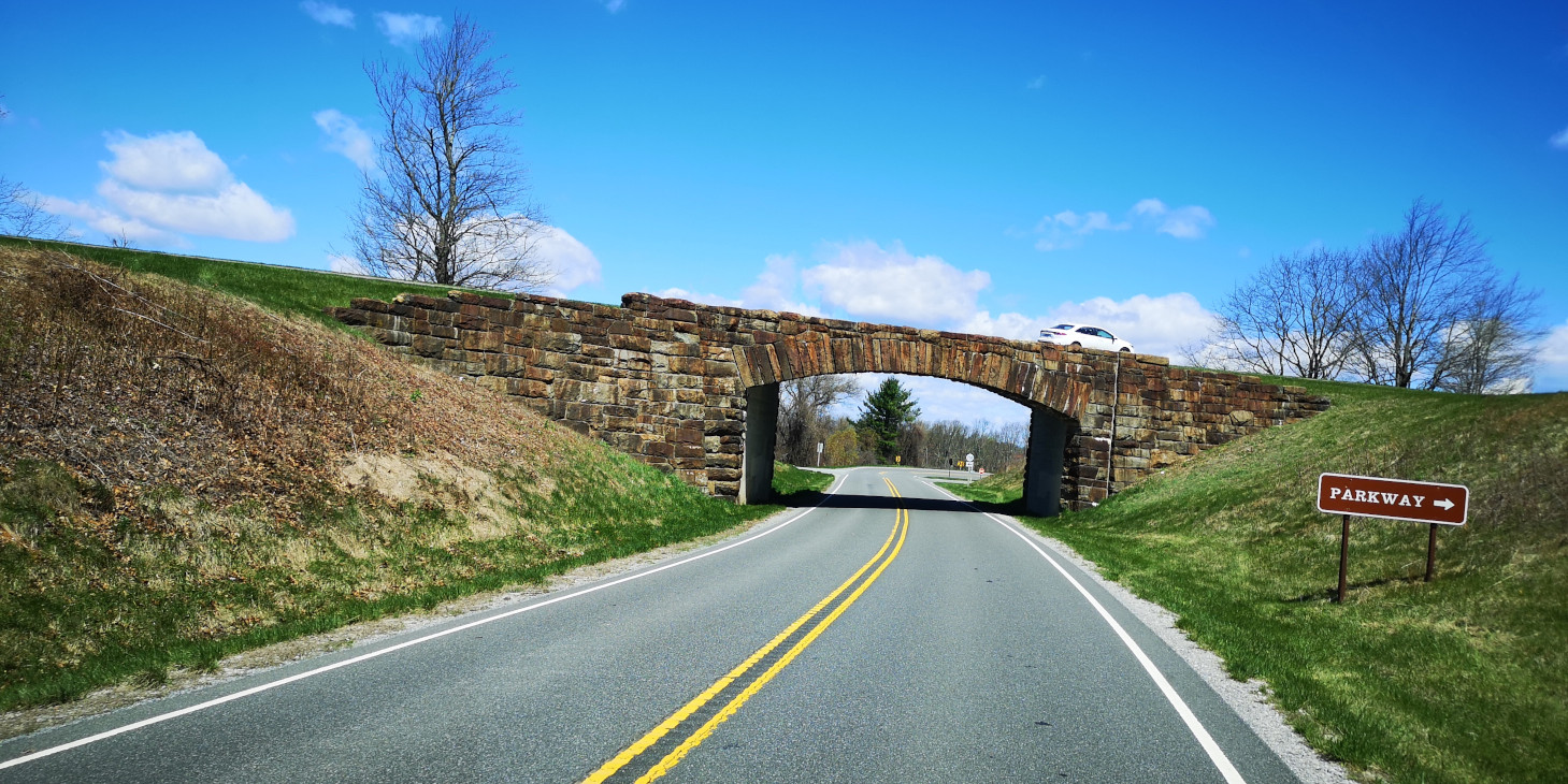
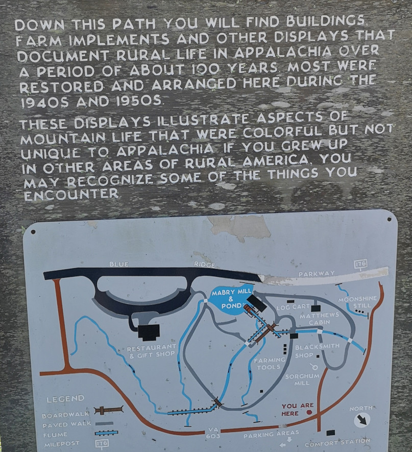
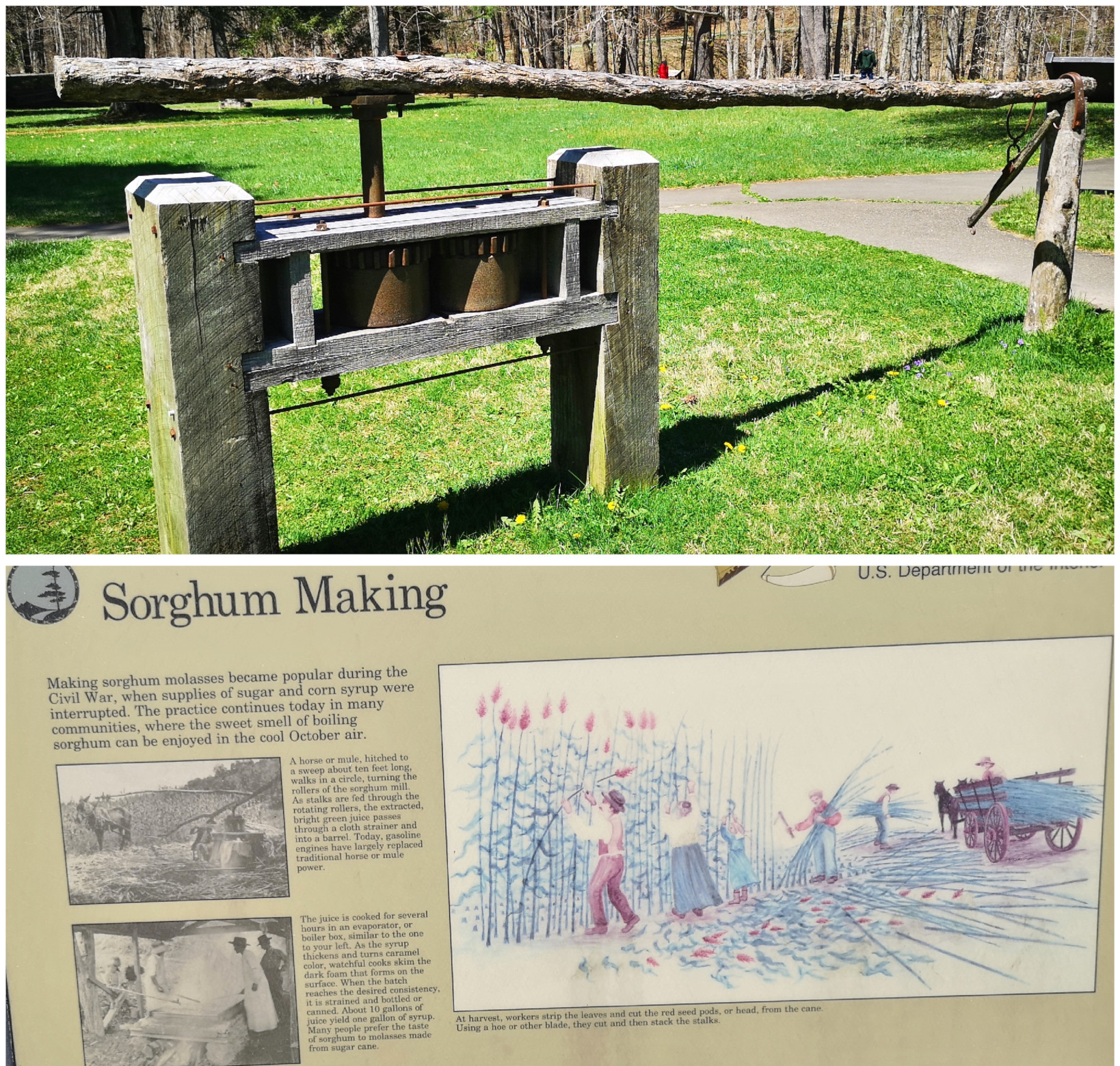
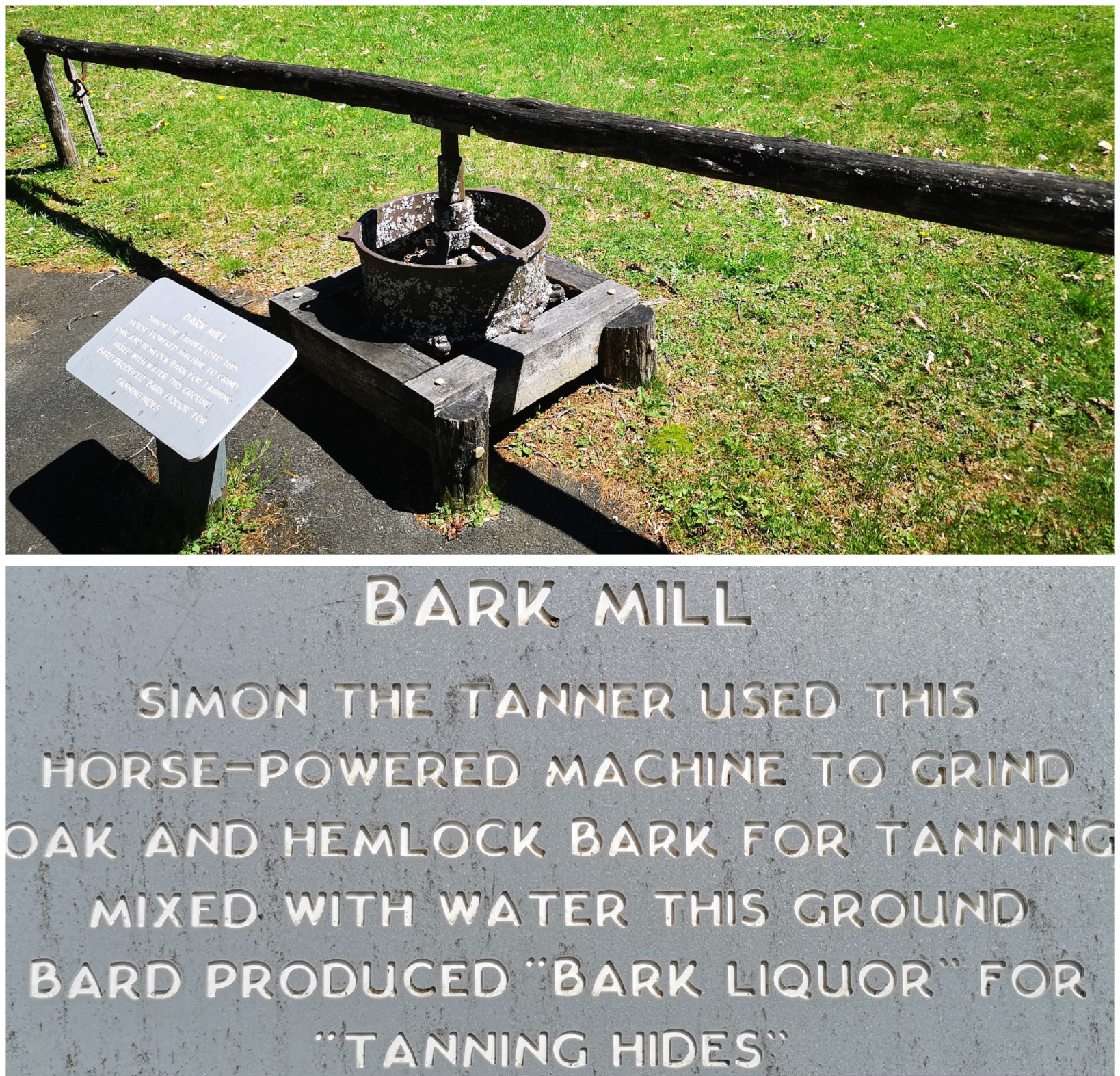
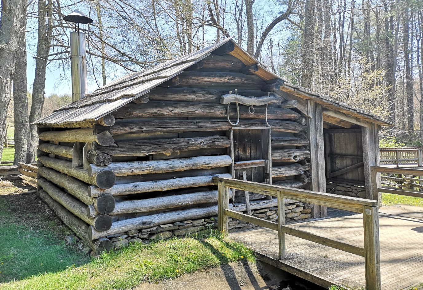
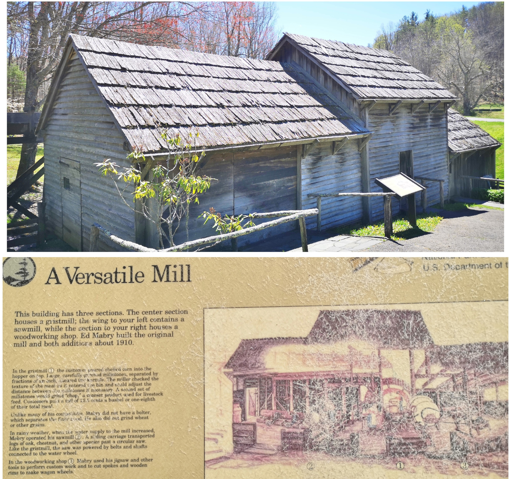
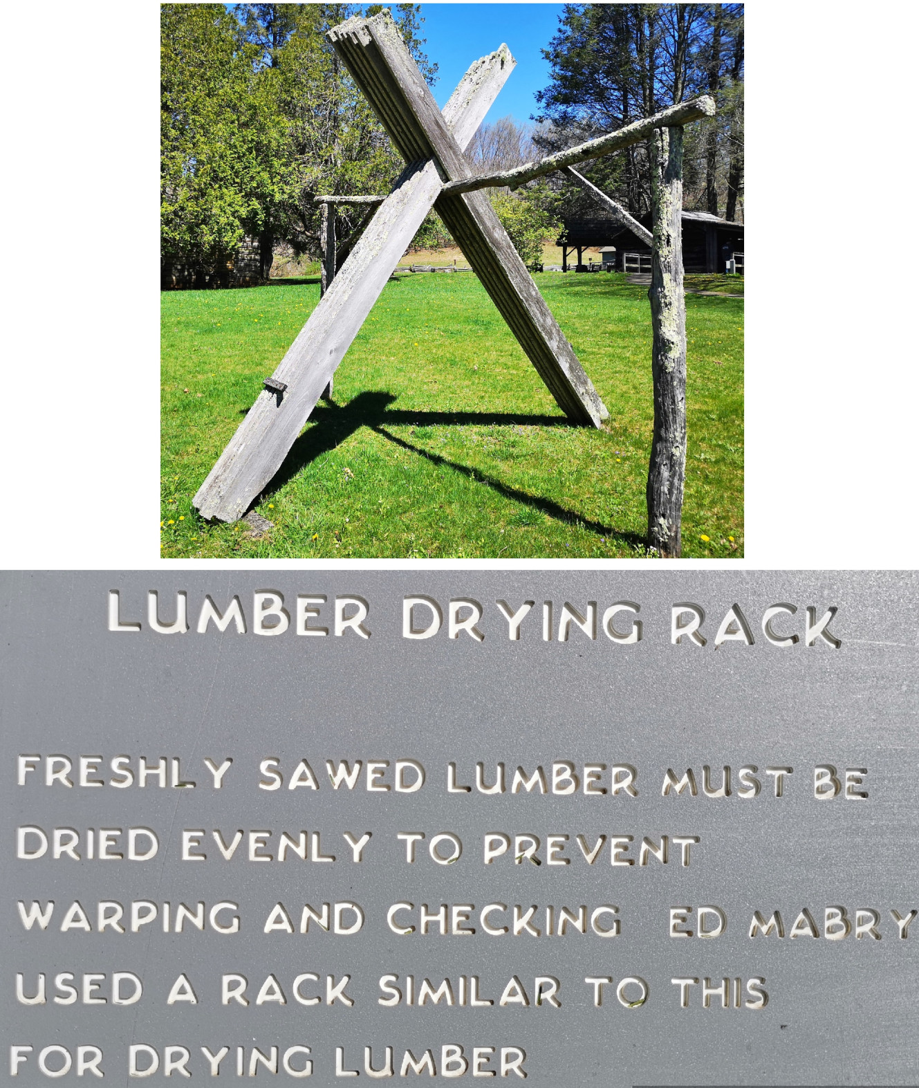
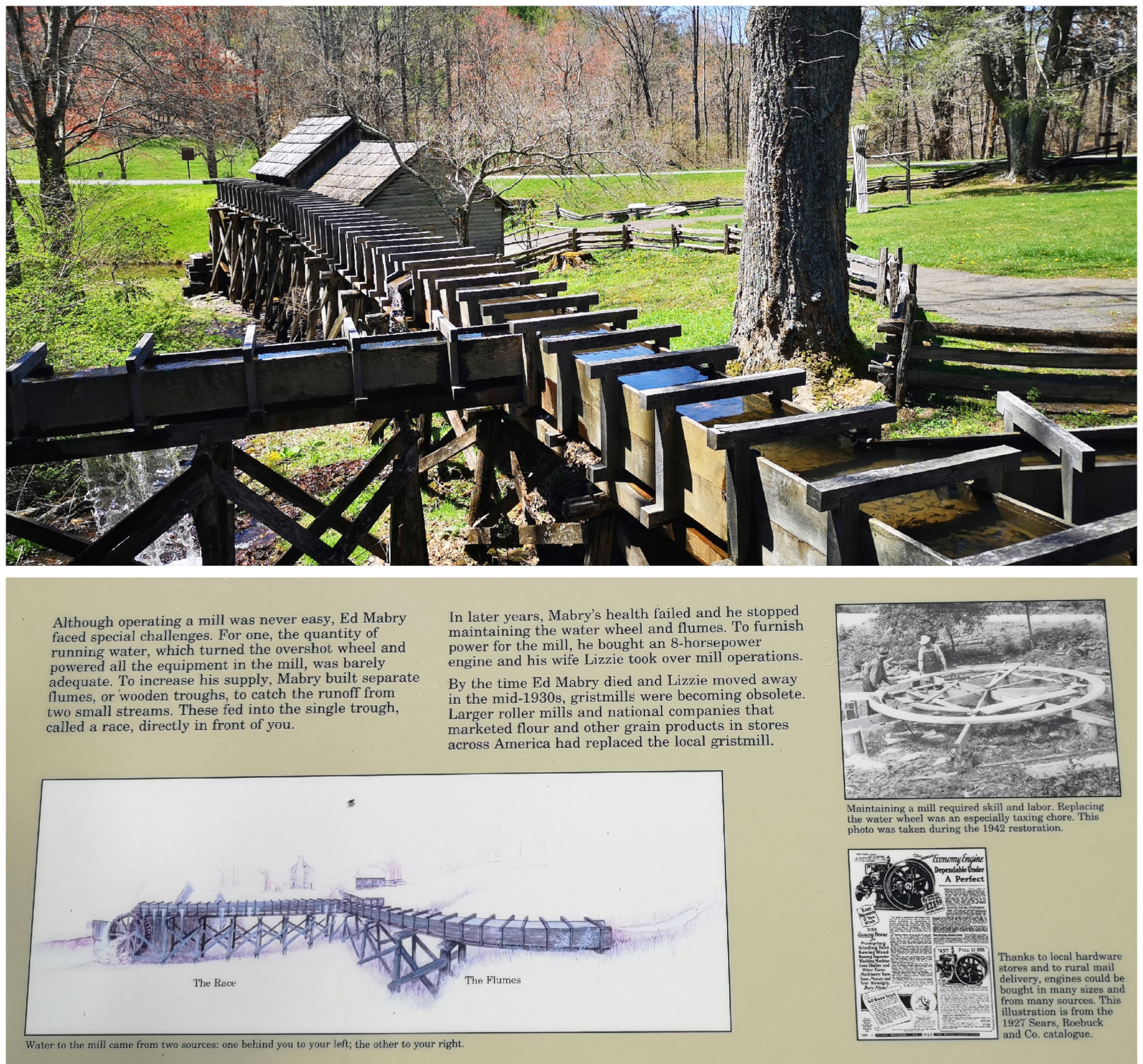
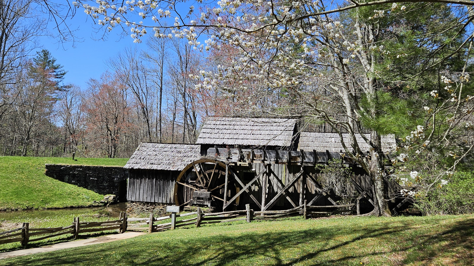
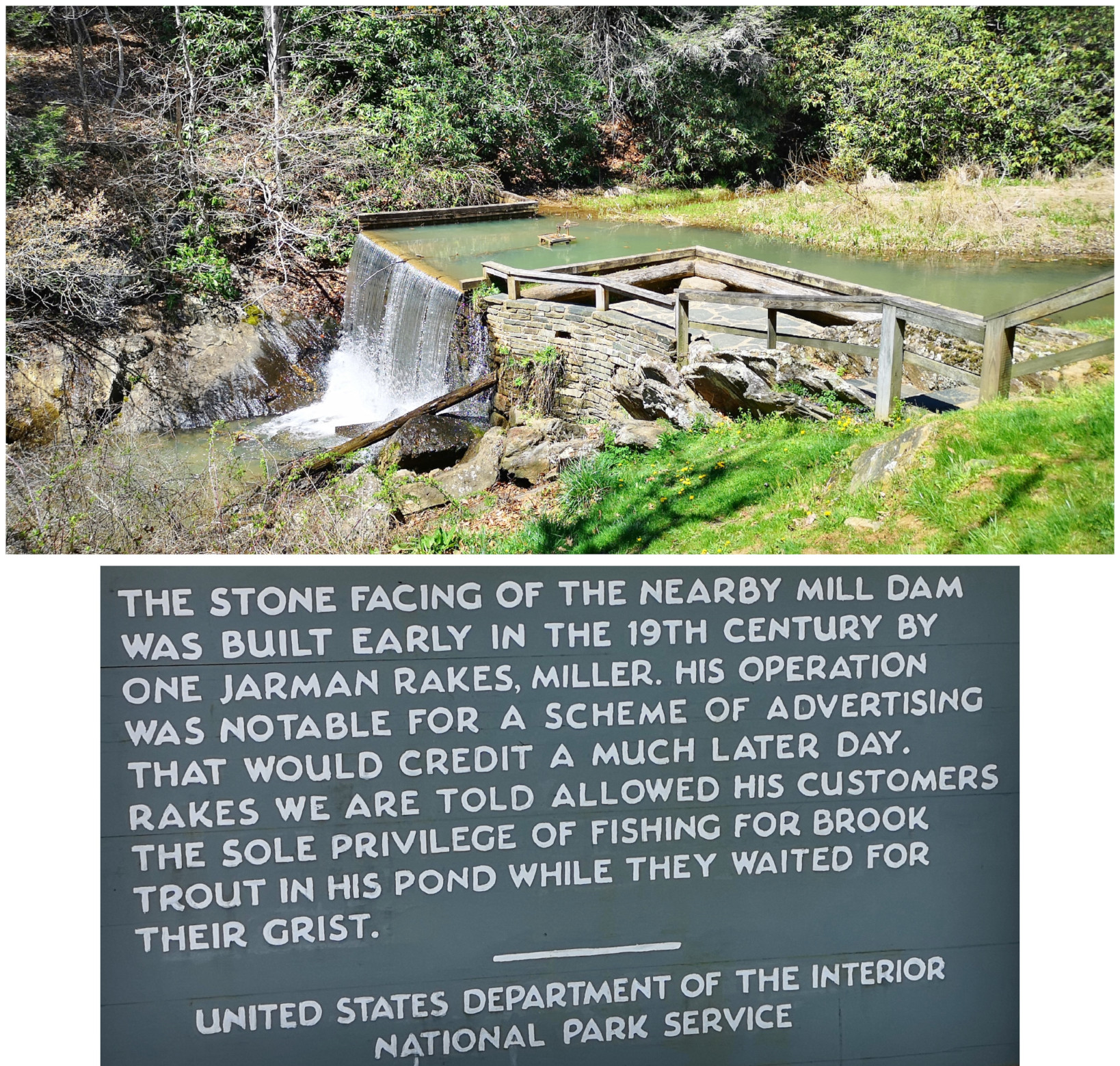
We were returning to carry on our drive along the Blue Ridge Parkway and Sharon found a back road we thought we would try to climb back to the top of the ridge. Just after we turned on the road, we saw a nice covered bridge called Jack’s Creek covered bridge, built in 1914. However, as we carried on, we saw a sign that said this road was only for locals, so we turned around and took a more major road. The major road still had lots of switchbacks to climb the mountain but at least it was all paved. When we reached the Parkway, we decided to do a bit of a back track south so we could see Mabry Mill as it was listed as one of the most photographed locations along the Parkway. We were happy we went on a nice sunny day instead of in the pouring rain and fog. Mabry Mill had several different buildings and displays to show rural Appalachia Mountain life. We saw sorghum making (molasses), whiskey distilling, a bark mill used to tan hides, an 1869 Appalachian log cabin, a 3 section mill that had a sawmill, a grist mill, and a woodworking shop, and the flumes used to direct water from multiple creeks to the overshot wheel at the mill.
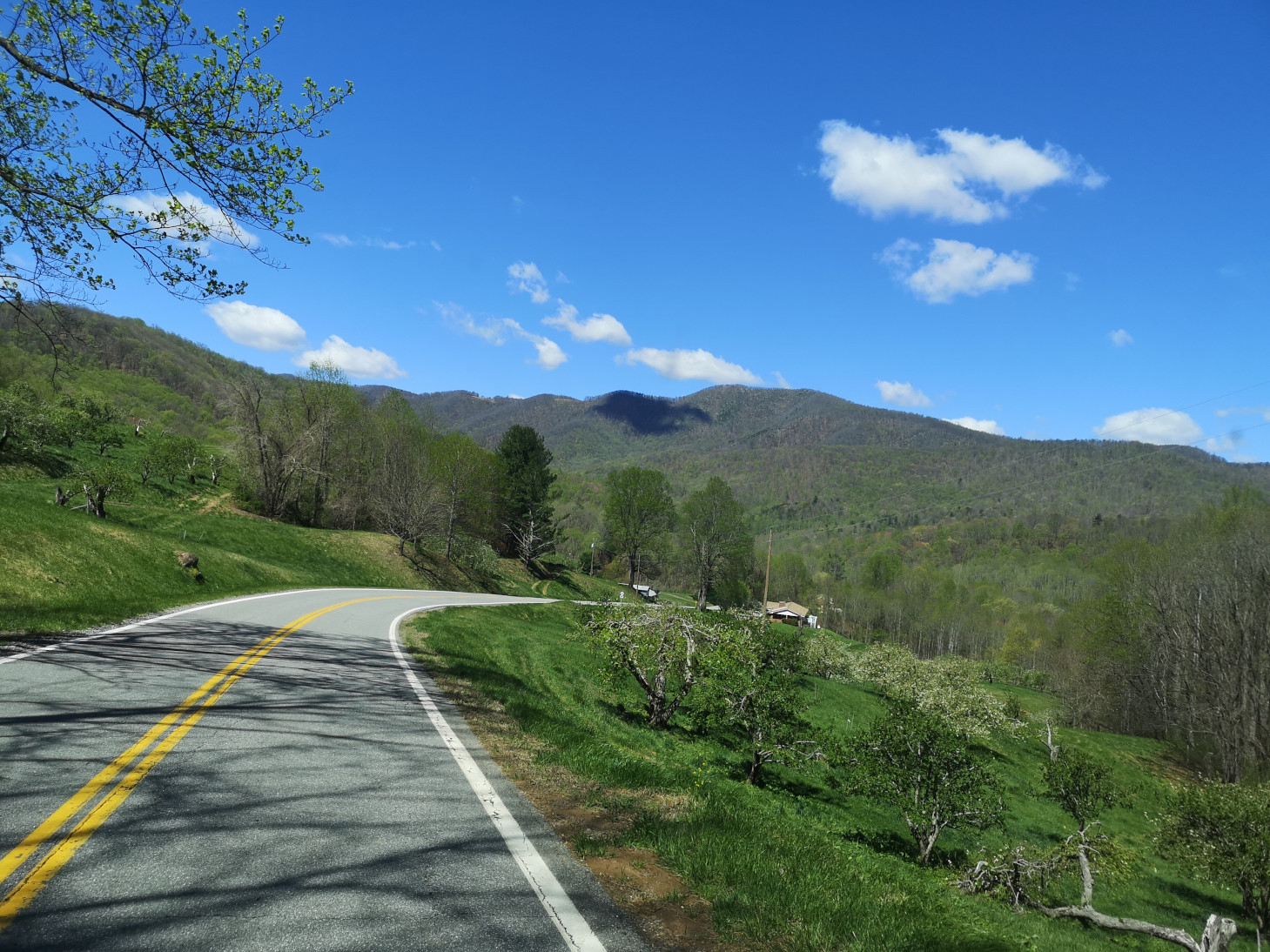
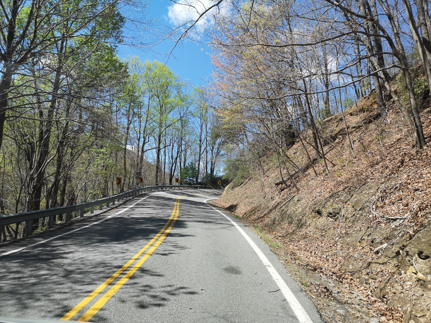


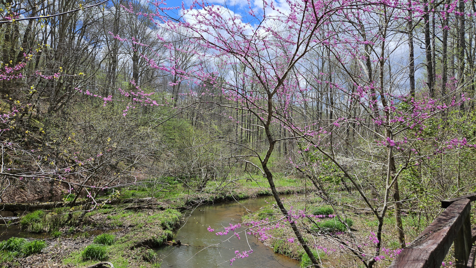
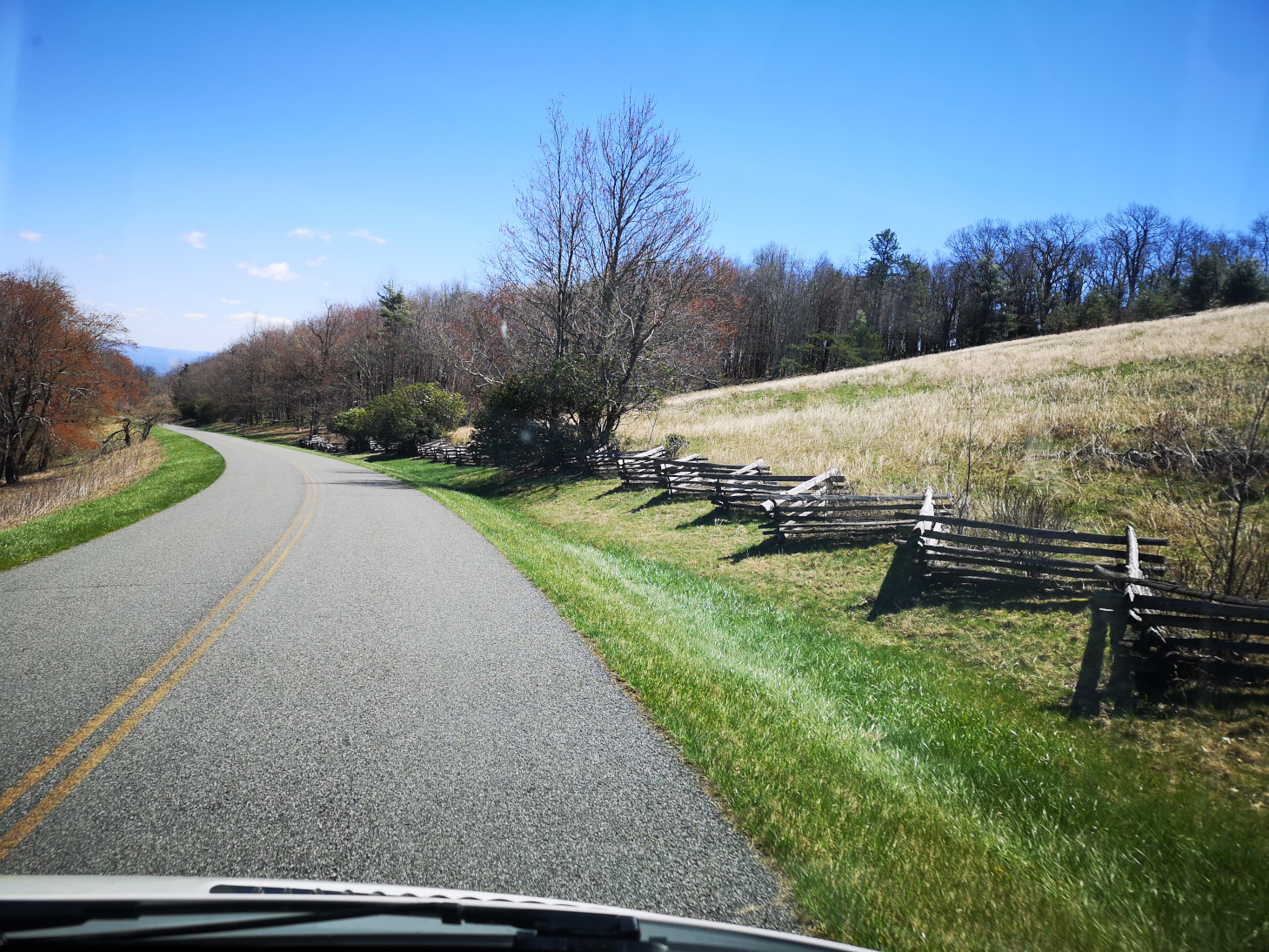
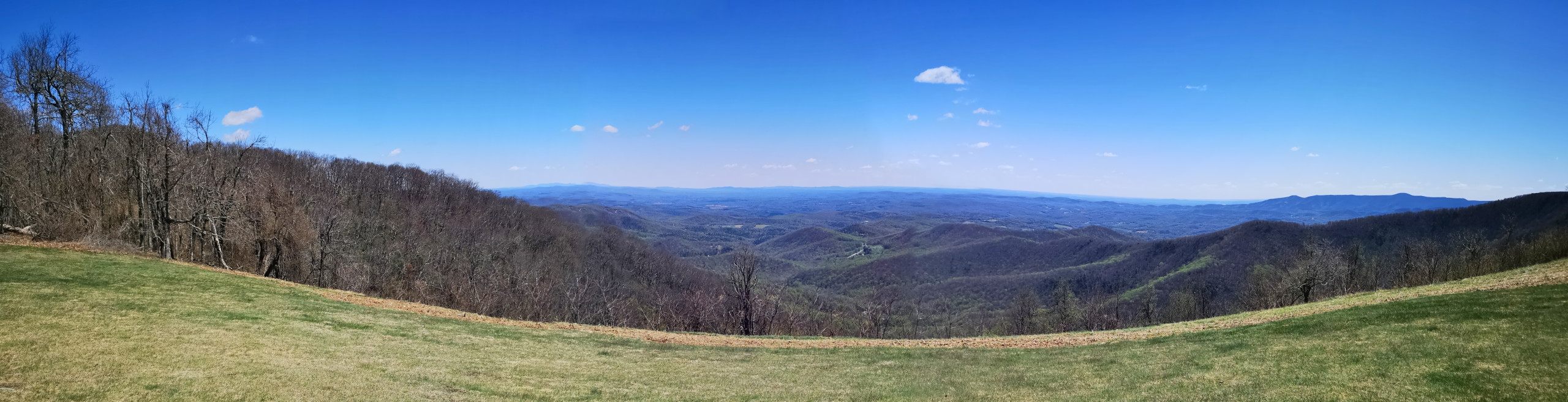
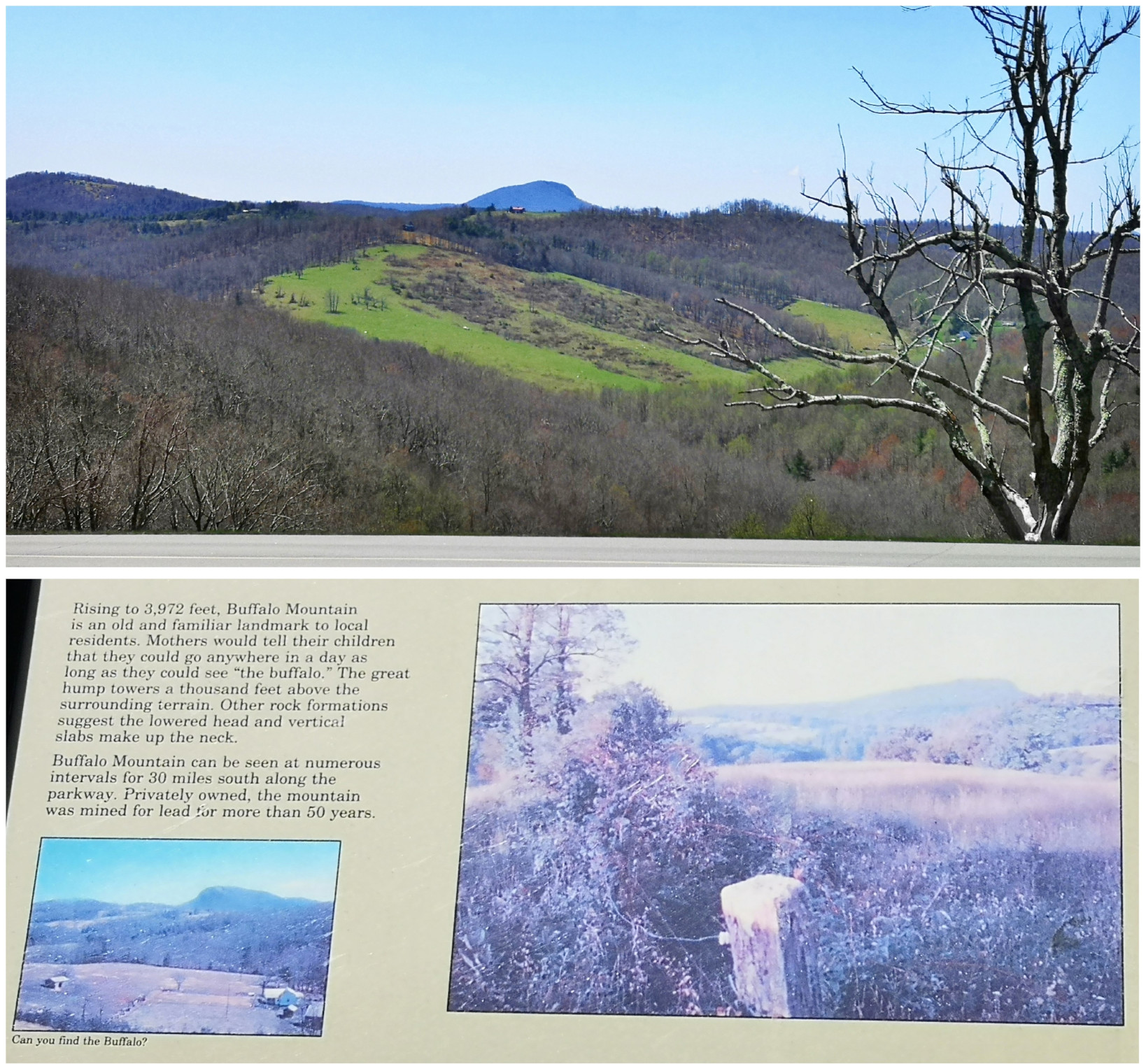
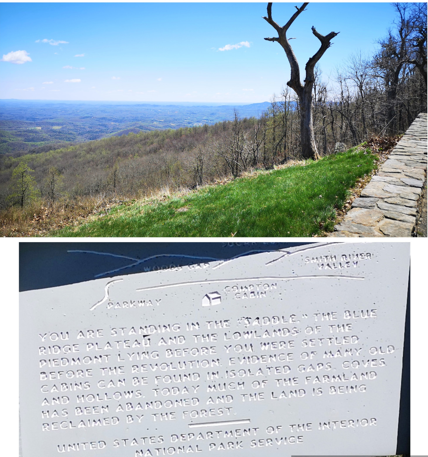
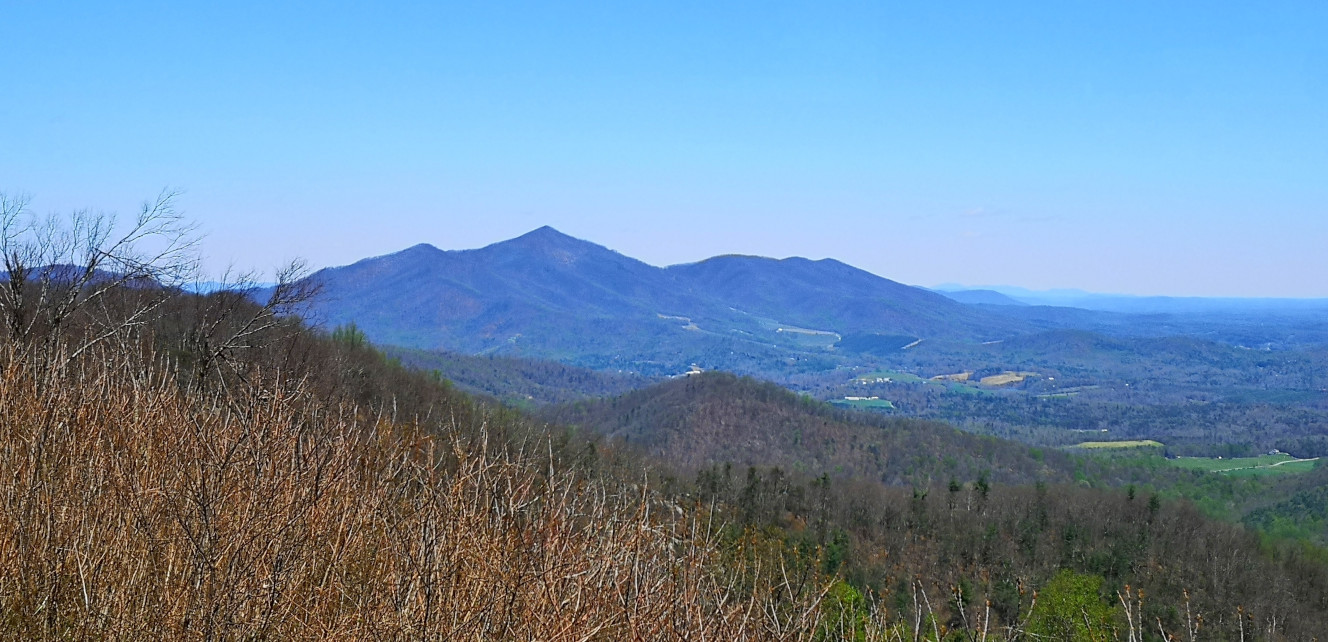
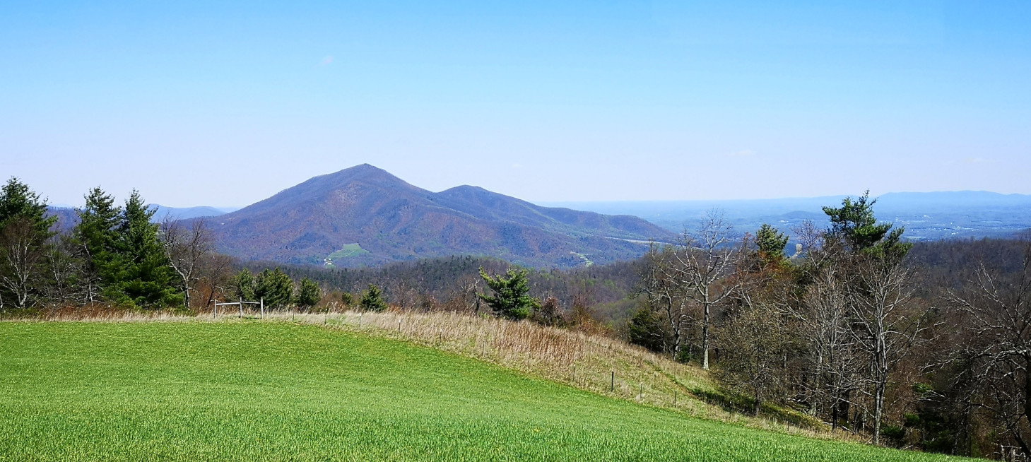
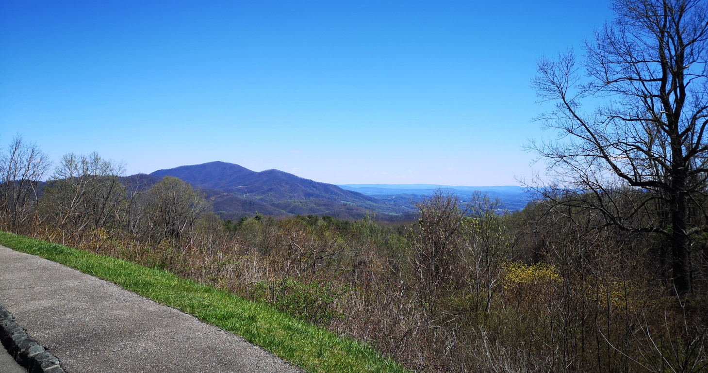
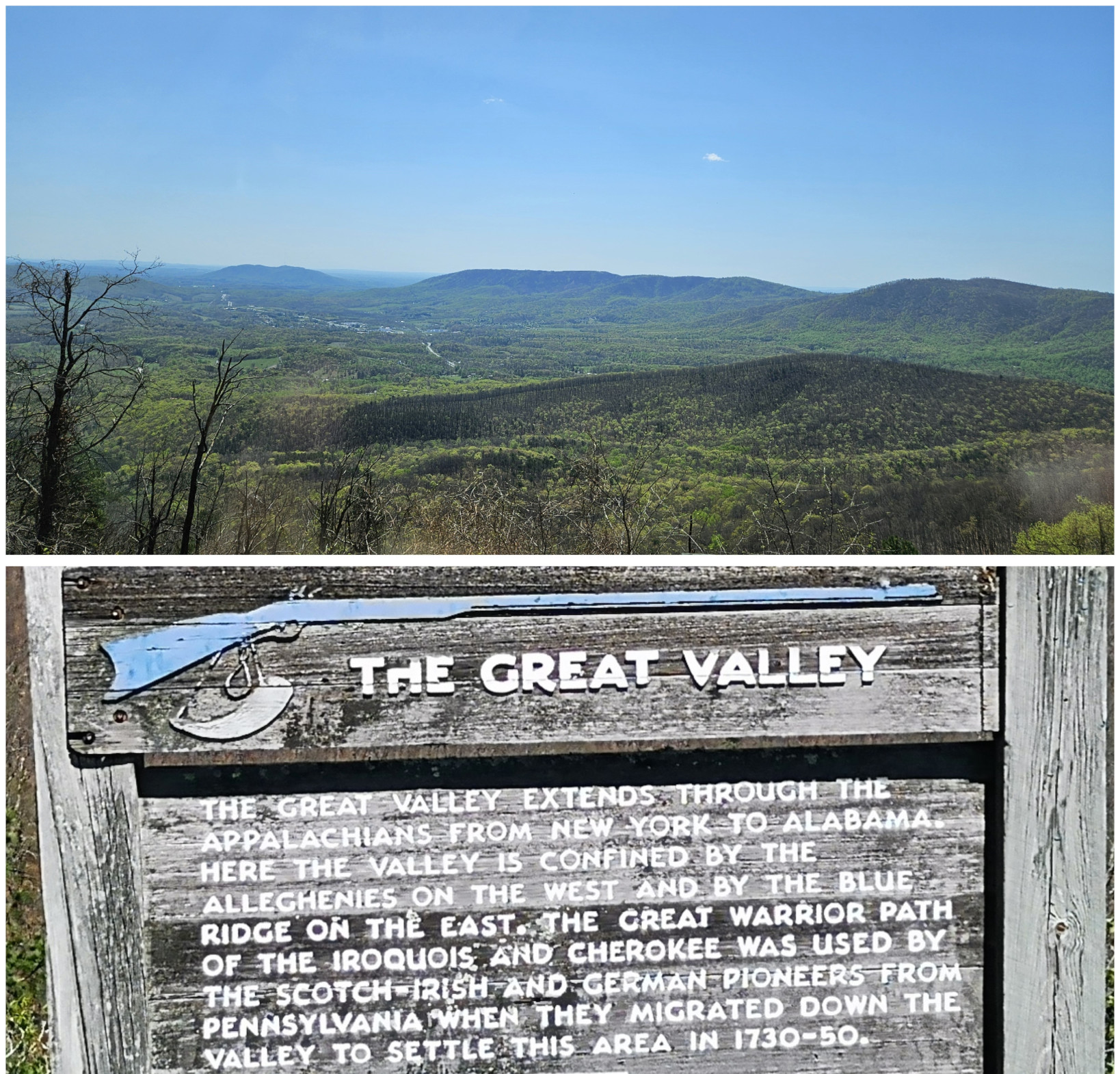
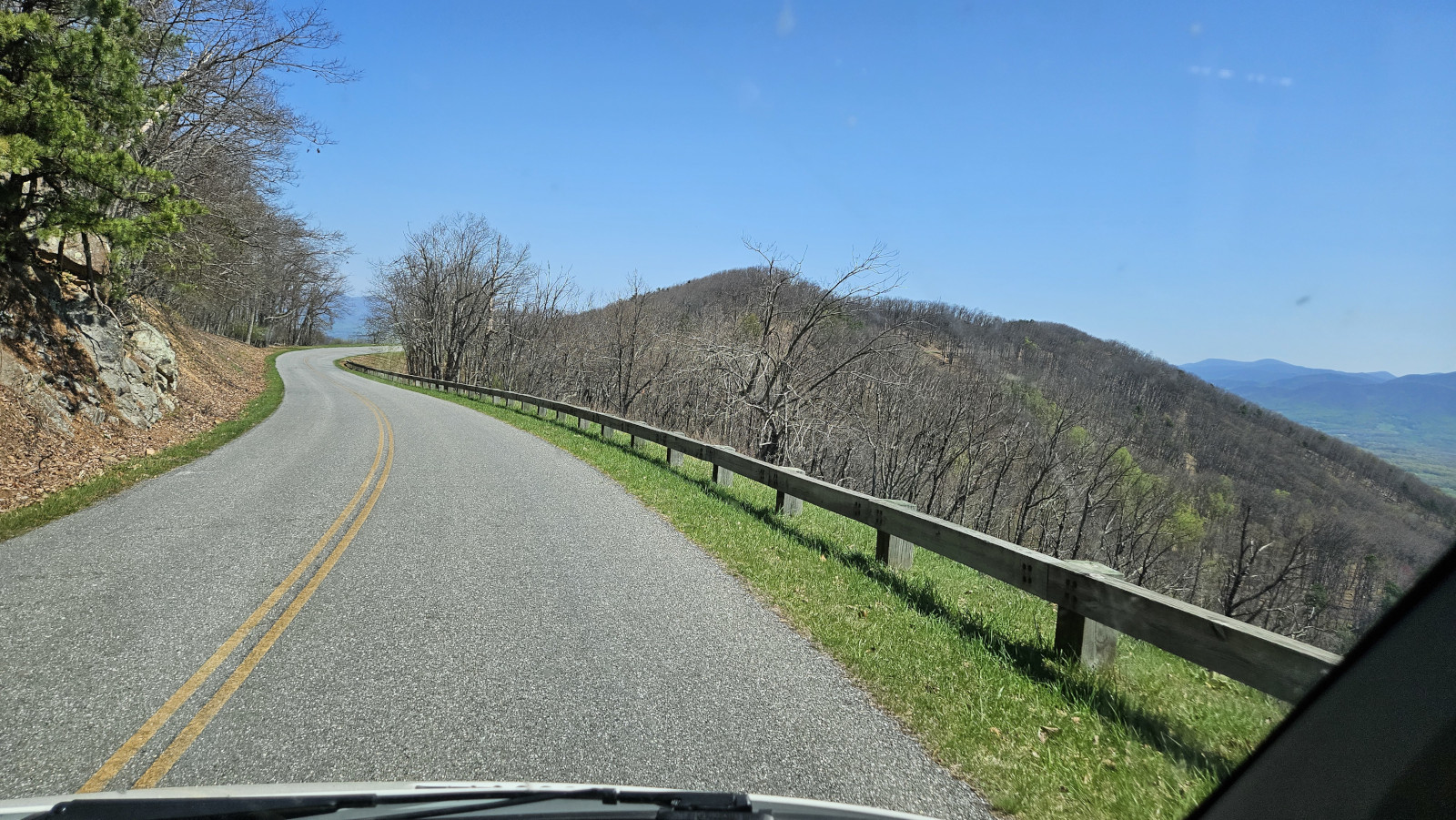
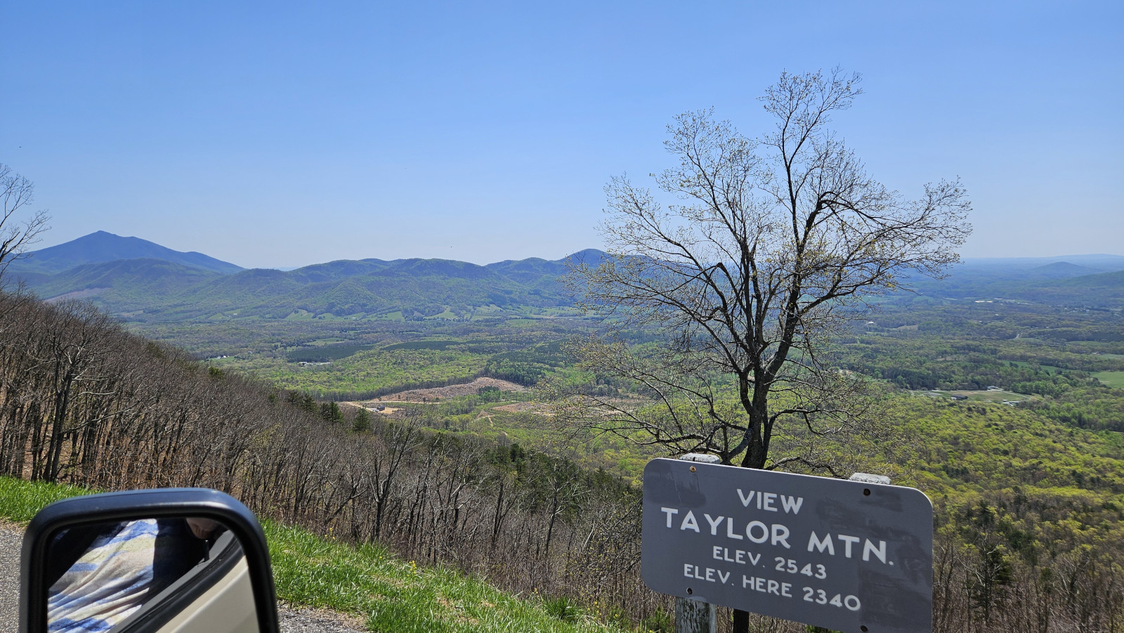
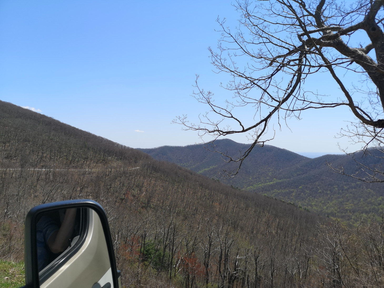
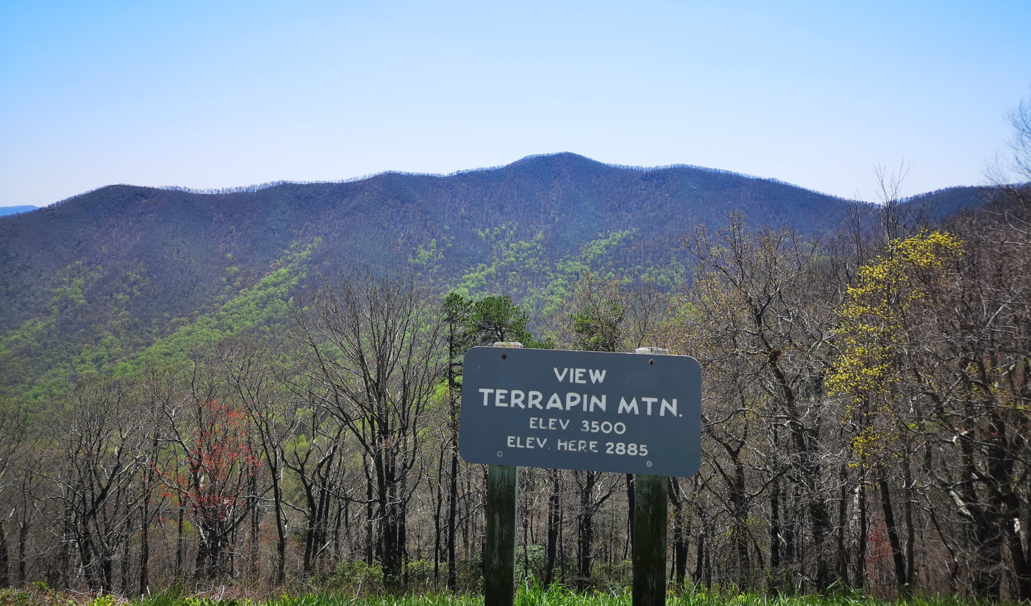
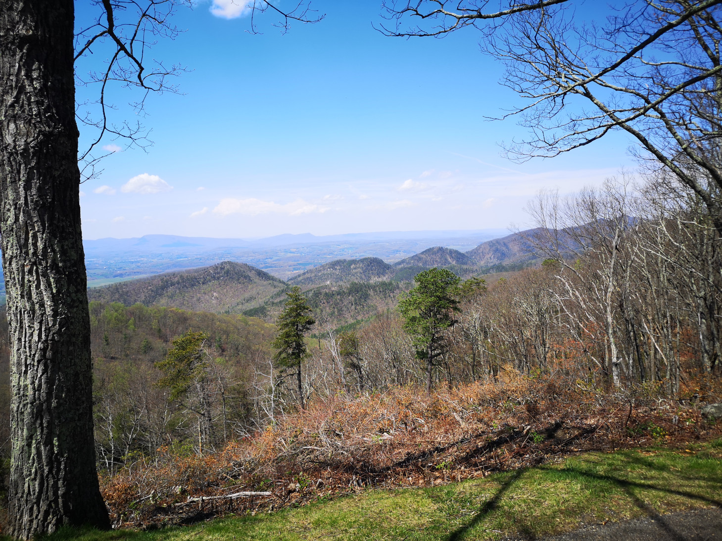
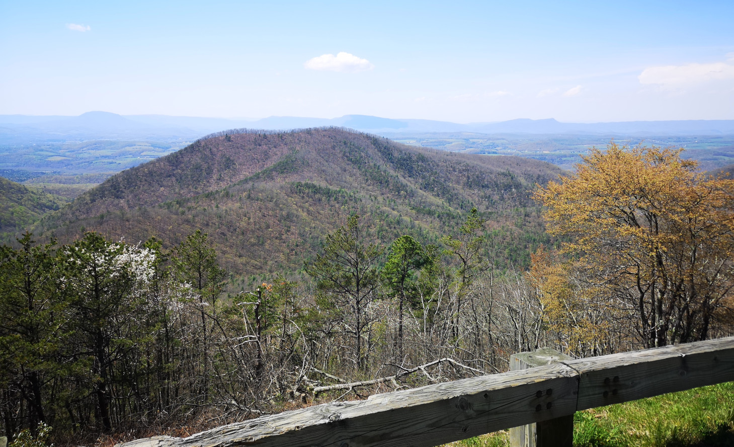
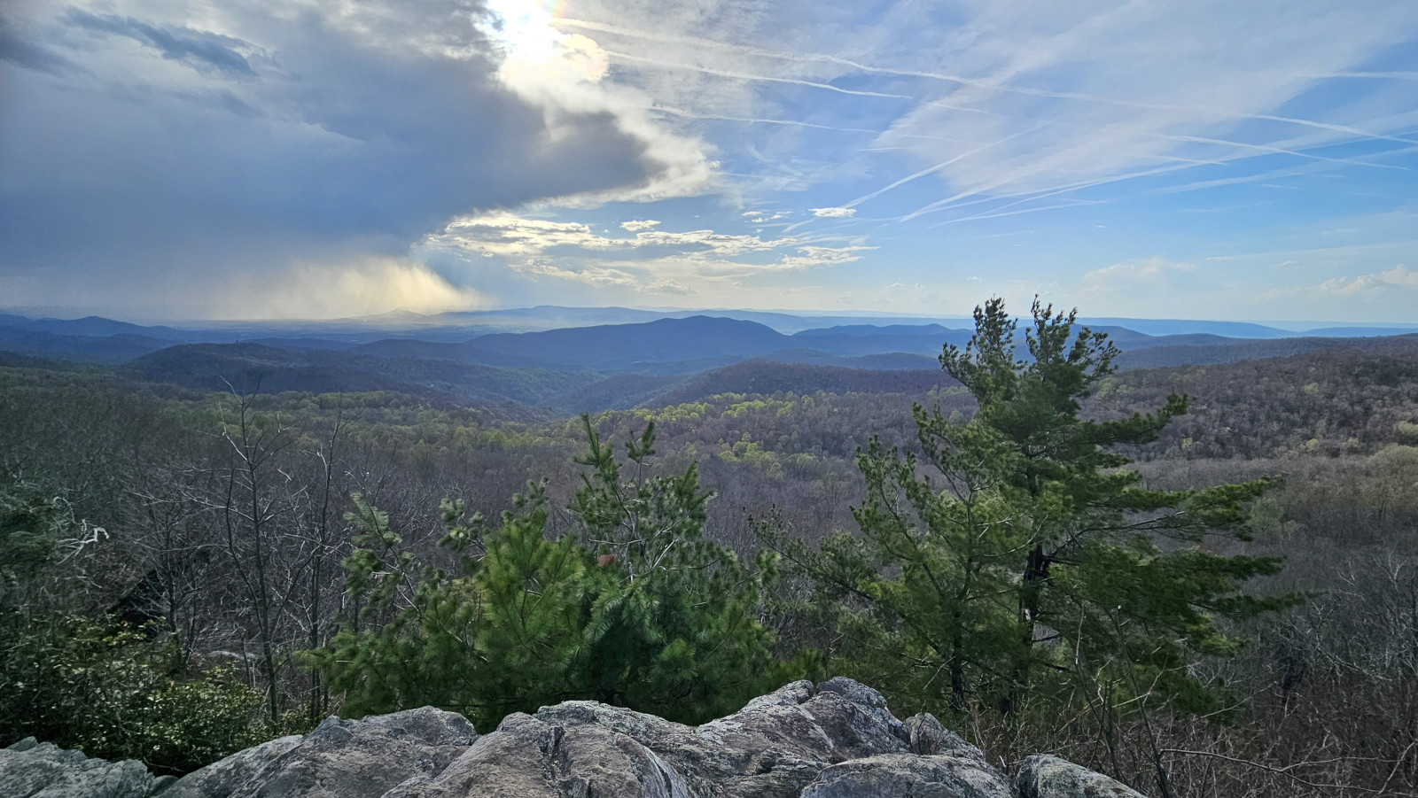
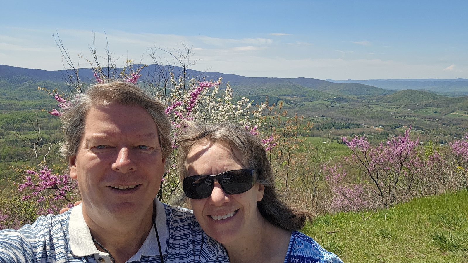
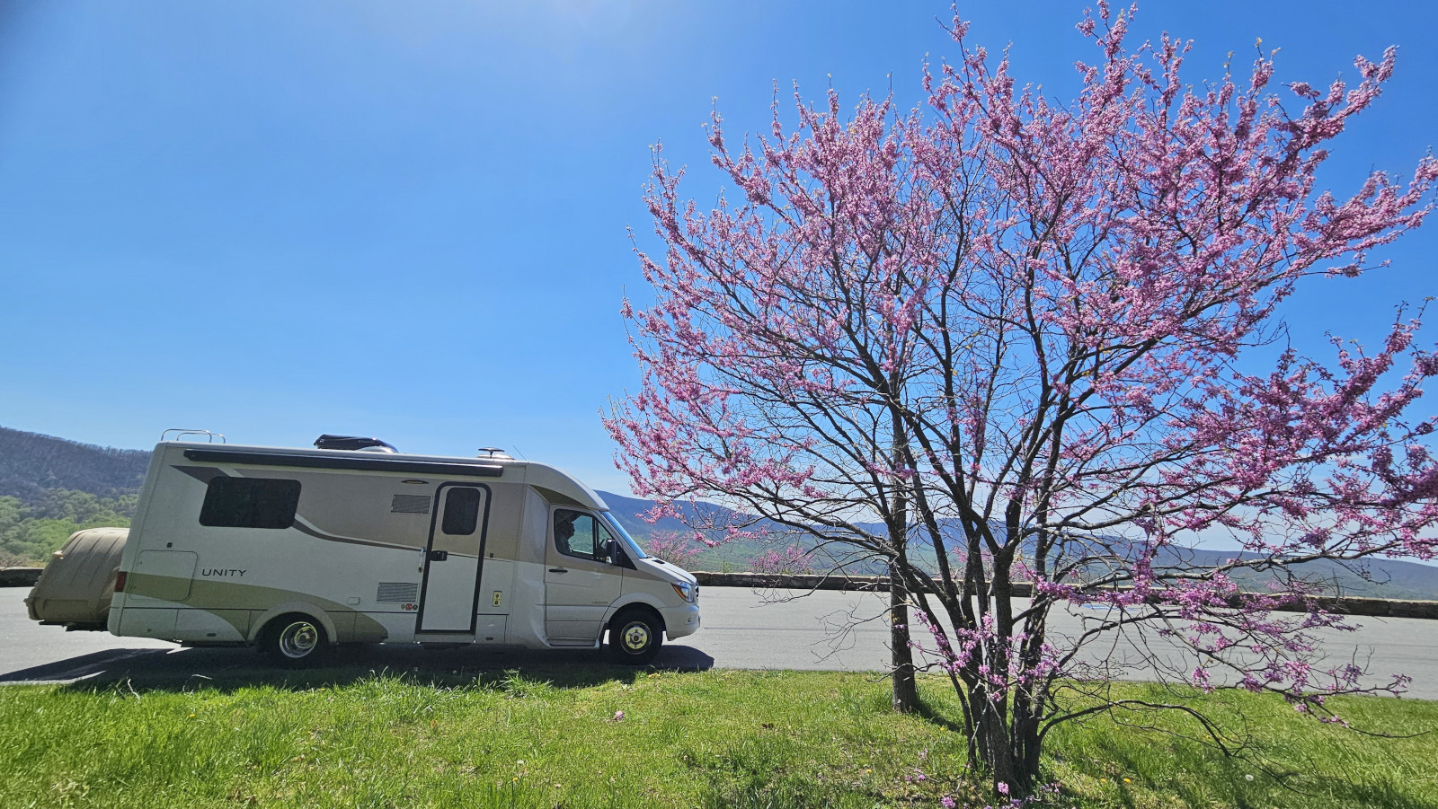
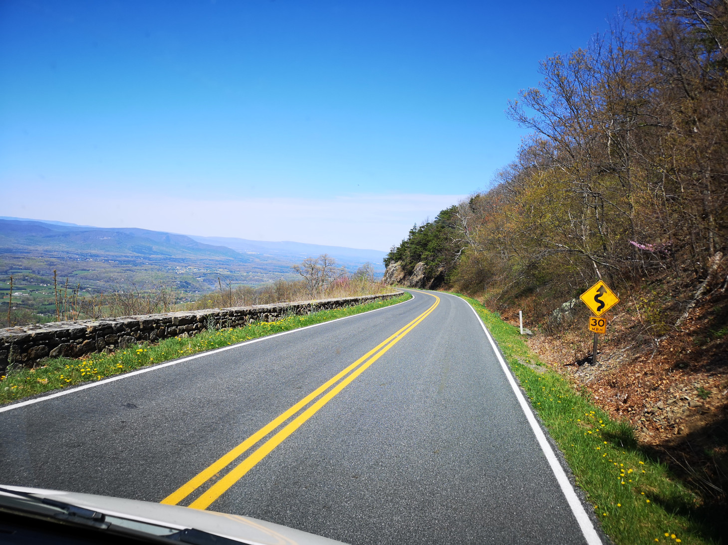
We had a beautiful day to continue our drive along the parkway and it meant we could see at all the overlooks. We could only imagine how gorgeous the Parkway must be in the fall with all the leaves changing colours. All along the Parkway you see worm or snake fences. The ends of the rails alternate, creating the openings. For stability of the stacked rails, each section of the fence is angled slightly from the previous one, giving the appearance of a worm or snake. This style of fence doesn’t require any vertical posts so it was easy to install and could go over rocky terrain. We covered about 70 miles on the parkway which takes a bit of time due to the 45-mph speed limit and with all the stops at the overlooks. Our destination was another state park off the parkway which was Smith Mountain Lake SP.
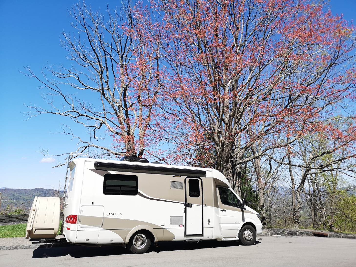

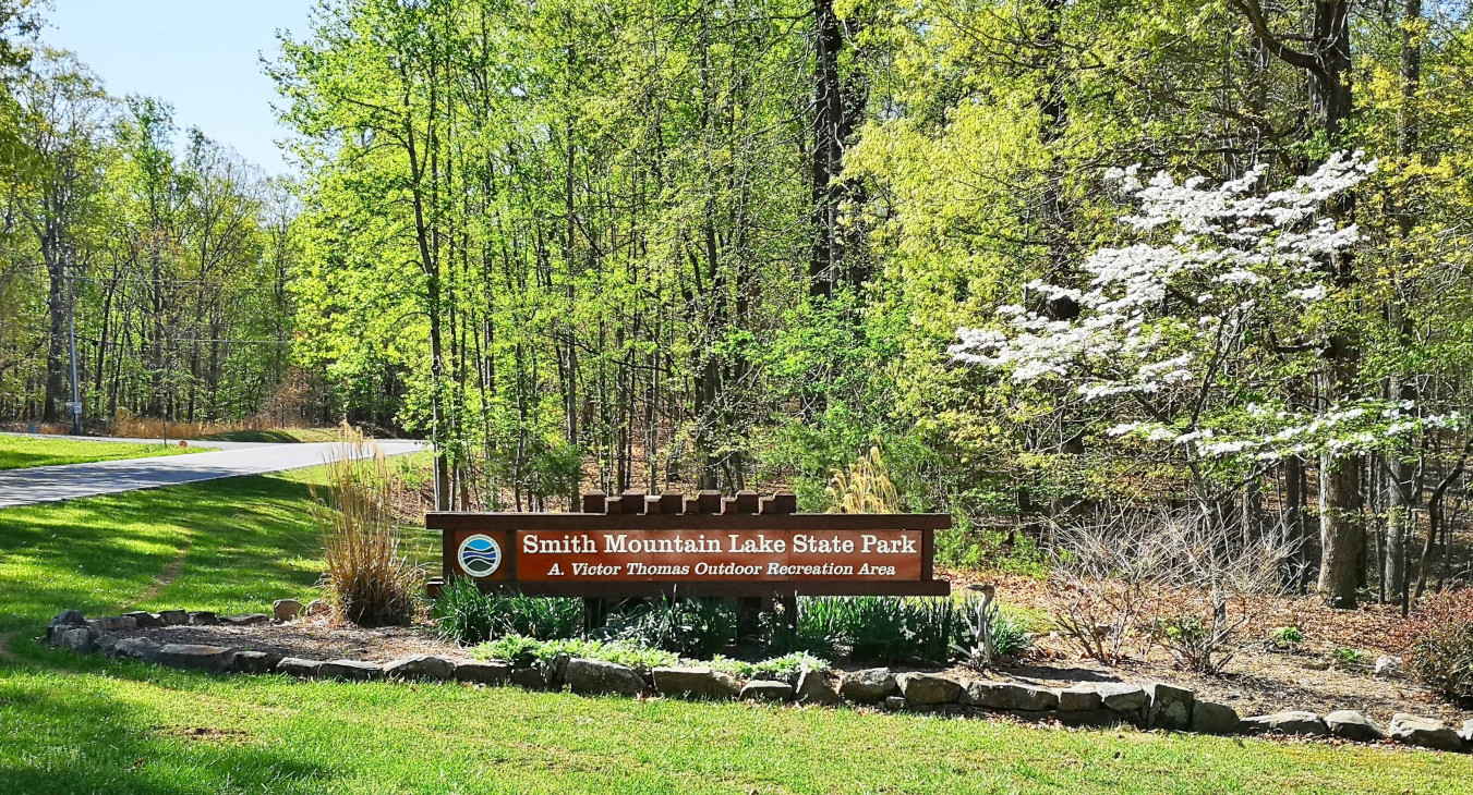
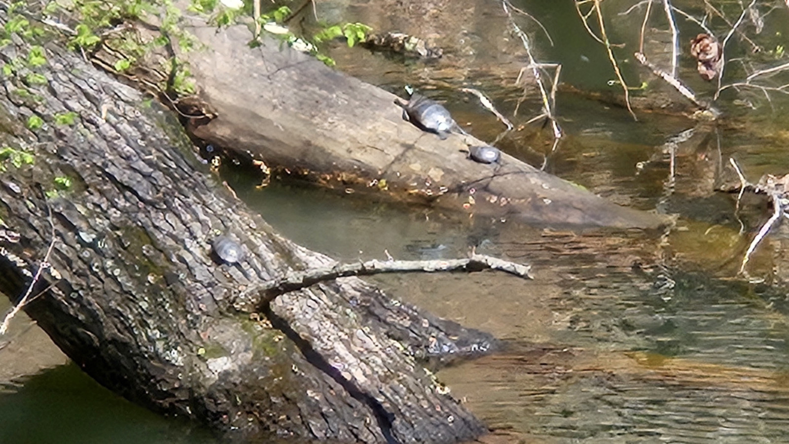
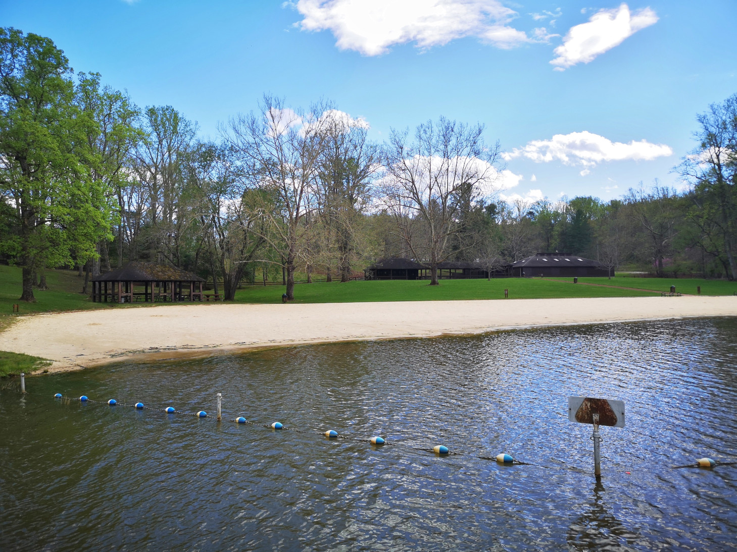
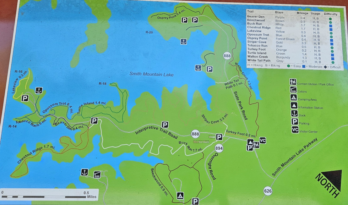
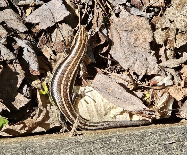
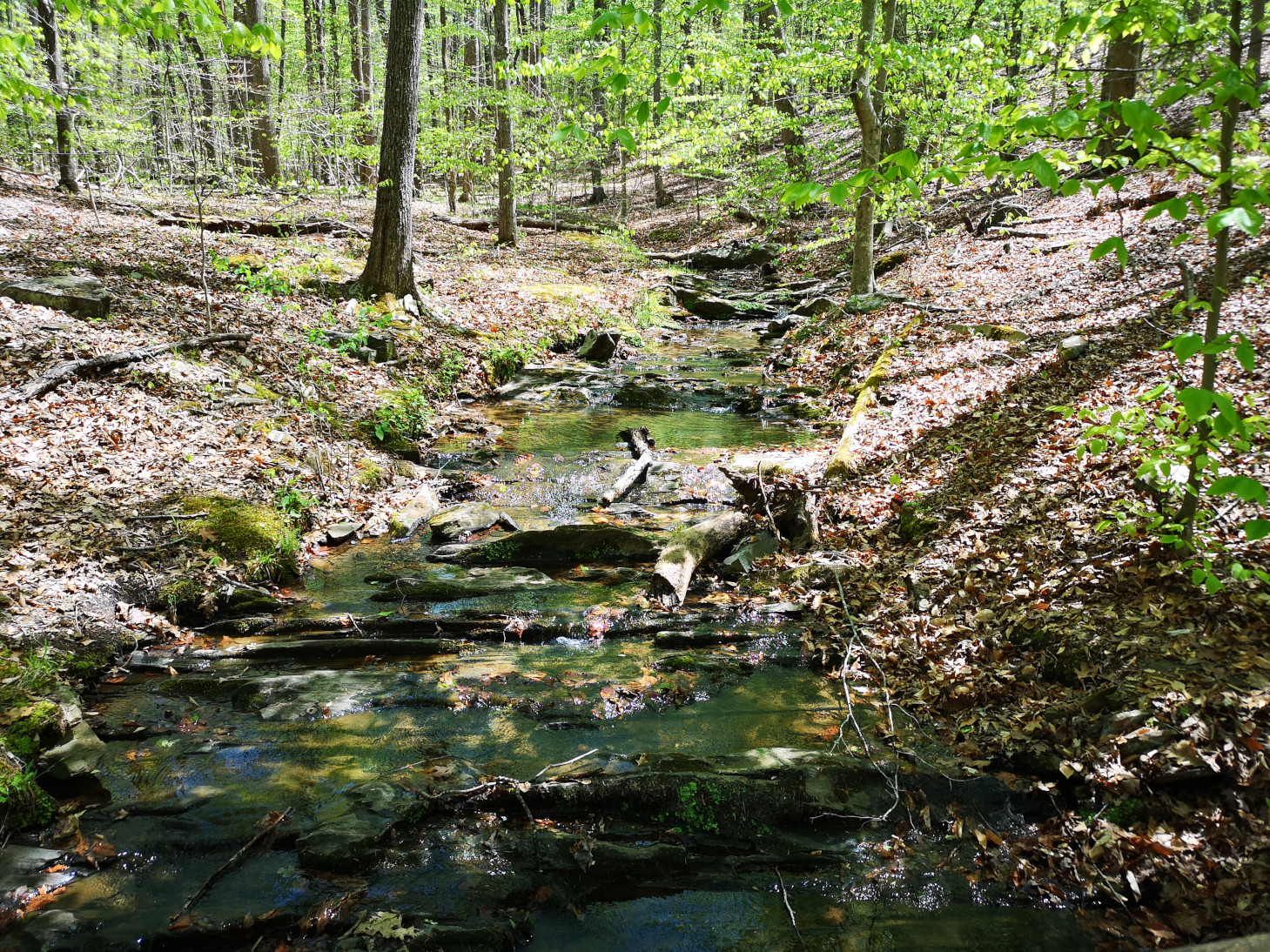
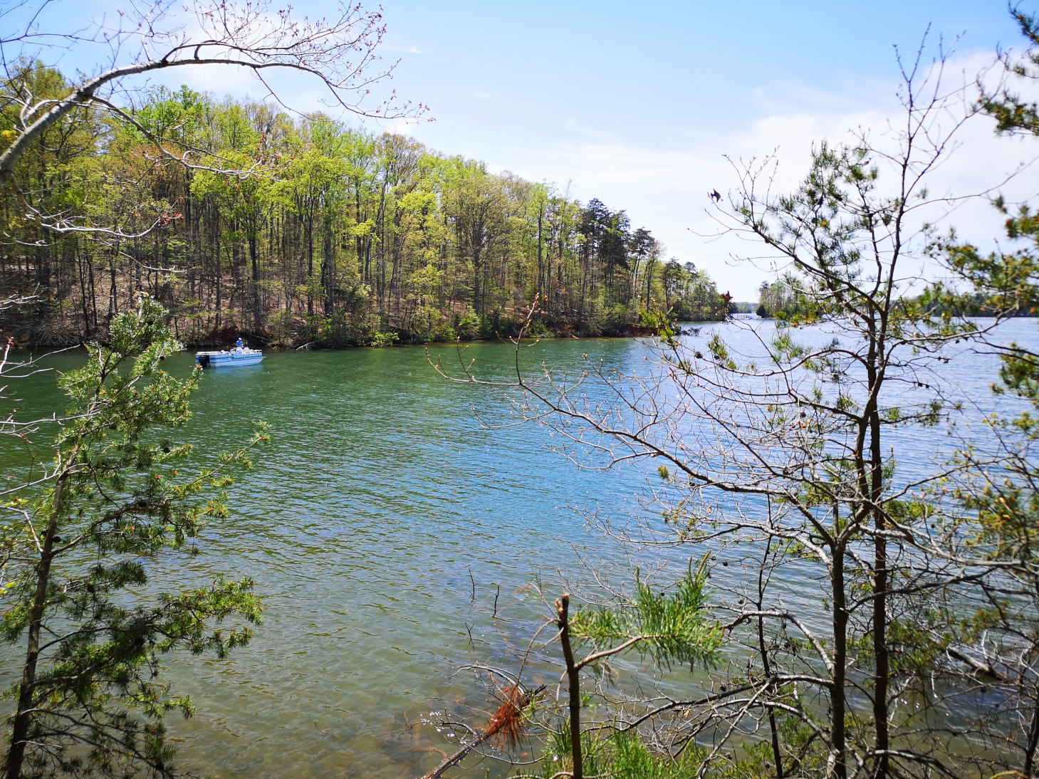
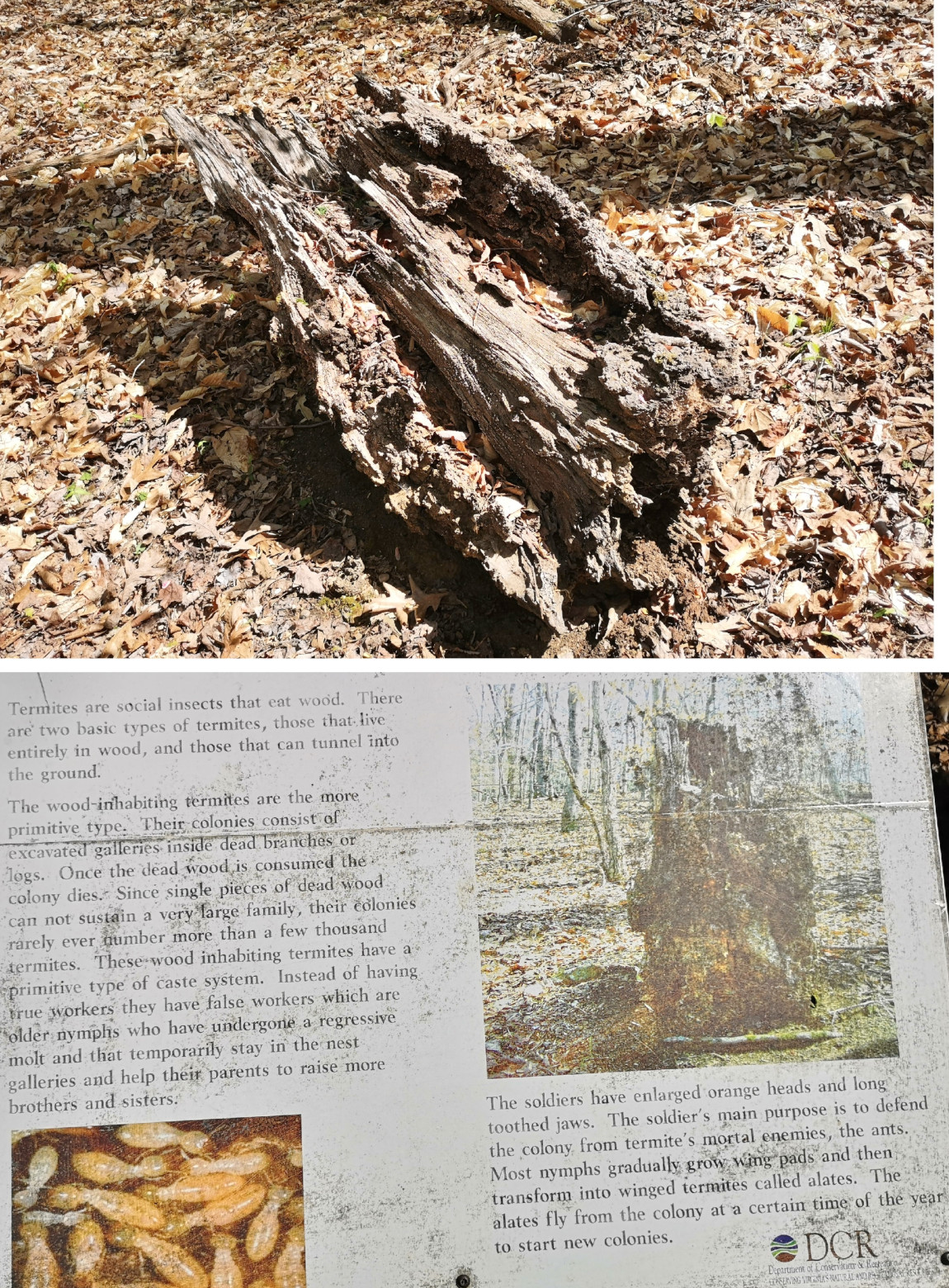
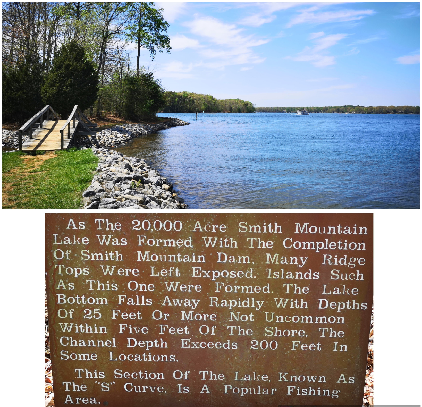
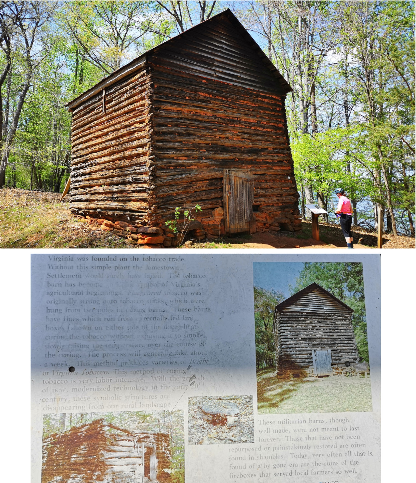
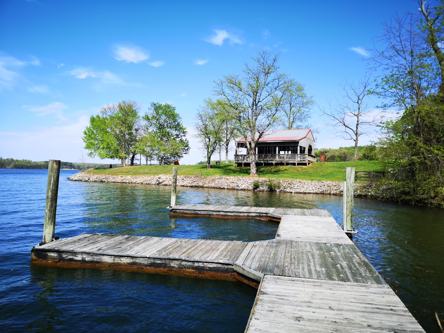
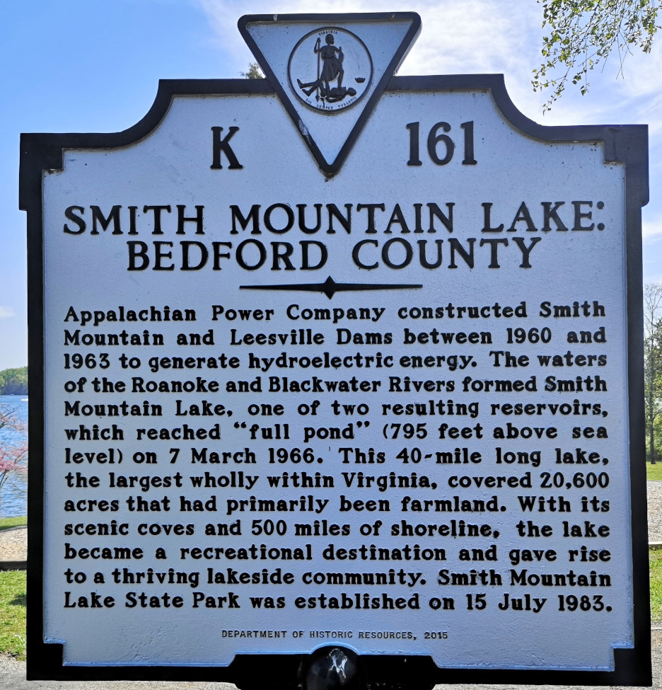
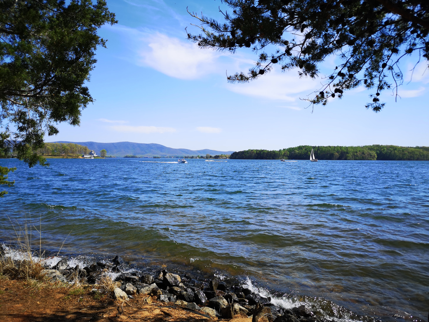
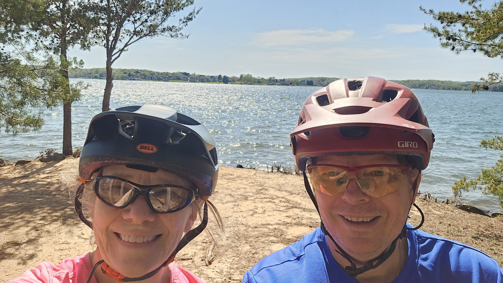
Smith Mountain Lake SP is 1148 acres and just opened in 1983. The campsites were large and since we arrived on a Saturday the campground was full for the weekend. As we enjoyed the sunshine at our campsite, we saw a 5-lined skink crawling along the campsite retaining wall. After we looked at the trail map, we decided we wanted to stay for 2 nights but it meant that we had to move sites for Sunday night since the site we had was already booked. On Sunday the weather was nice so we thought we would do the trails on our Mountain Bikes. We took the Beechwood trail and connected to Buck Run but Sharon was already finding the elevation changes and roots difficult so when we reached the Interpretative Trail road she decided she would carry on with the road while I tackled the Striper Cove trail which was listed as difficult. The trail went out to the point of 3 different peninsulas overlooking Smith Mountain Lake and it was downhill getting to the points and uphill leaving each point, so it was challenging. We were surprised how much boat traffic there was on the lake, but it was a sunny Sunday. Sharon and I met back up by the now toppled termite mound and then decided to do the Turtle Island trail as it was listed as moderate. We took a couple of other trails until we reached the tobacco barn, the dock, and then the nature centre before returning along the road. Our total was 13.5 kms so we enjoyed some drinks once we returned. A great park for recreational activities.

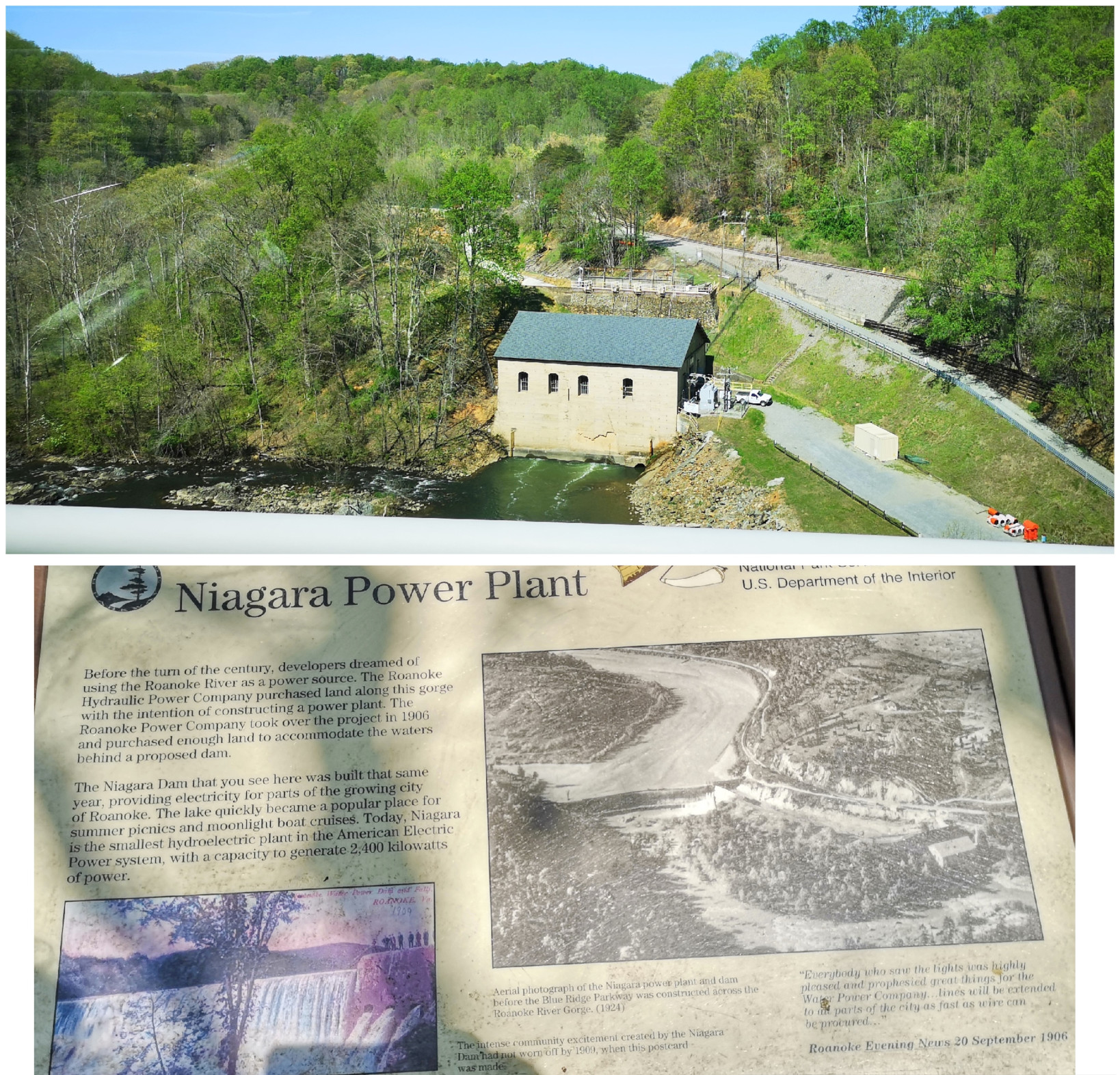
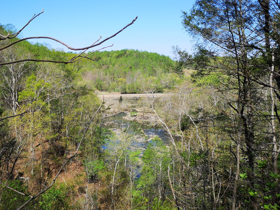
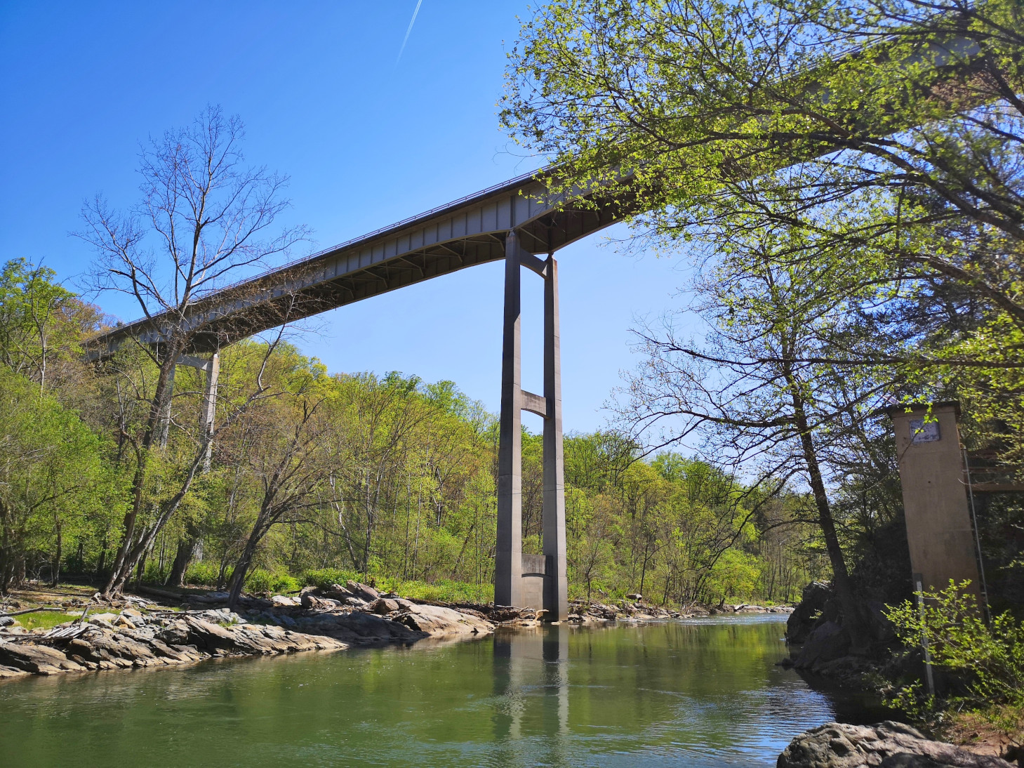
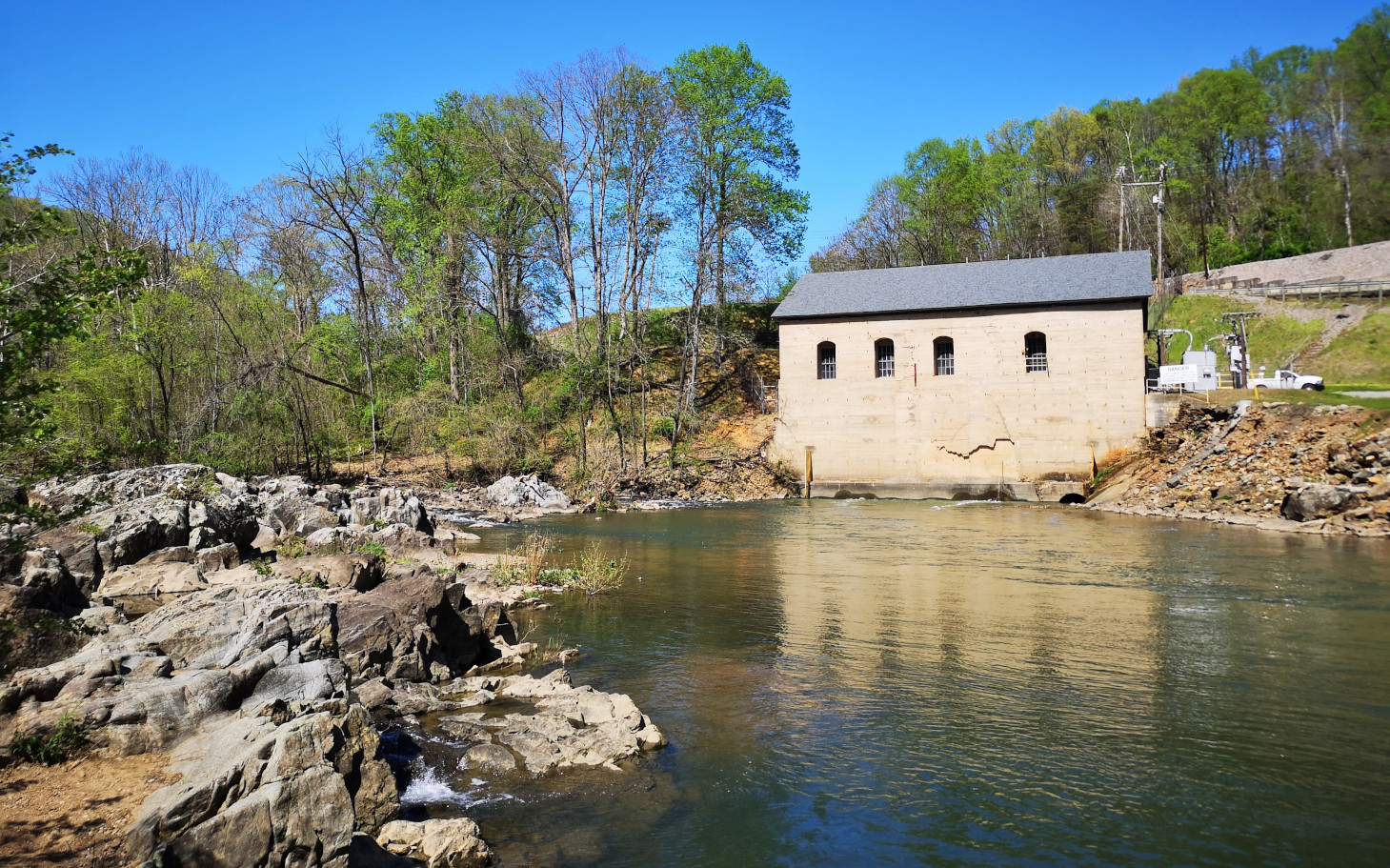
From Smith Mountain Lake SP we returned to the Blue Ridge Parkway and again we did a small back track. When we had passed the Roanoke River Overlook on Saturday, we saw a large waterfall over a dam by the Niagara Power Plant, so we decided to go back and take a look. Unfortunately, there was no water flowing on Monday! It turned out they did an aesthetic flow of water for the weekends so all we got to see was a tiny trickle. However, we did do the loop hike down into the valley to see the large bridge we had crossed and to see the power plant built in 1906 from the river level.
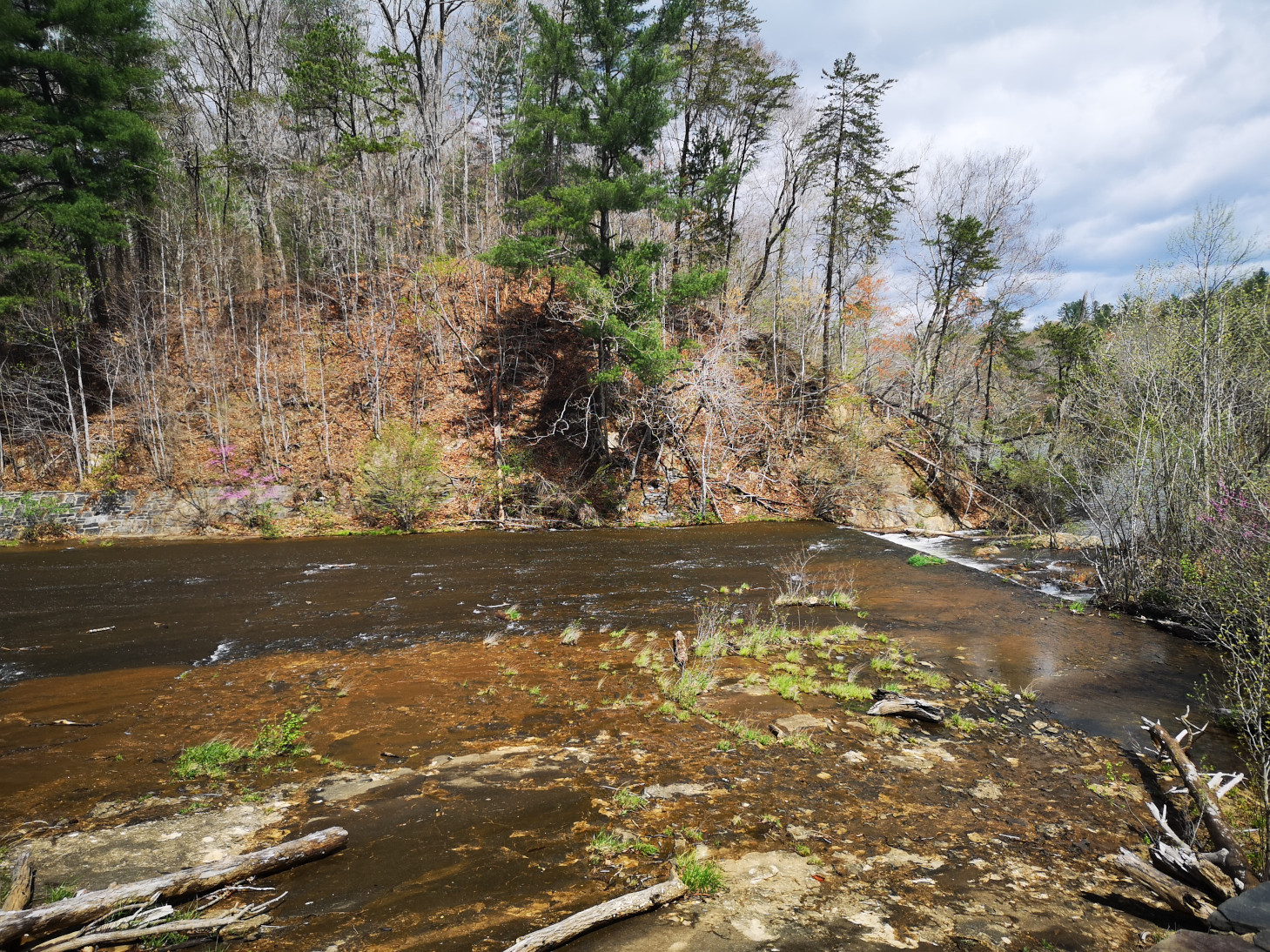
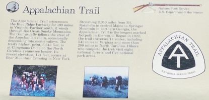
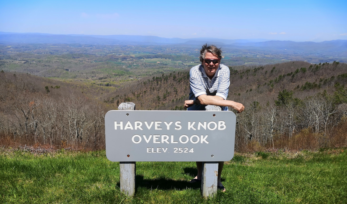
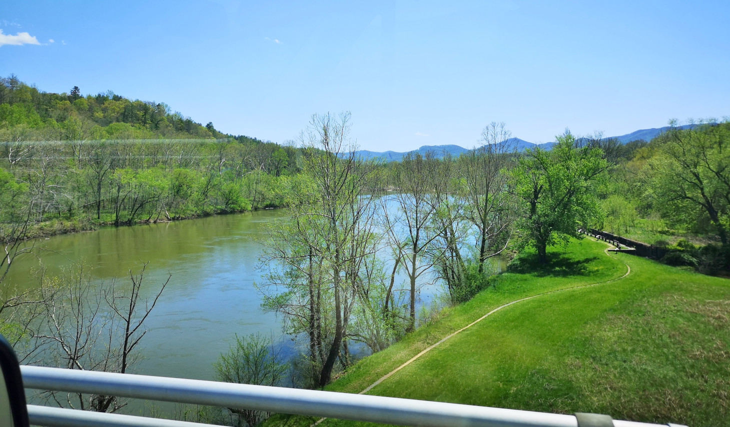
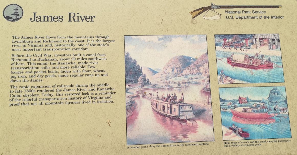
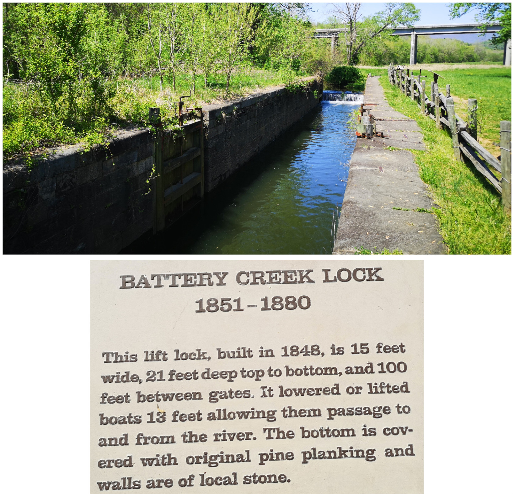
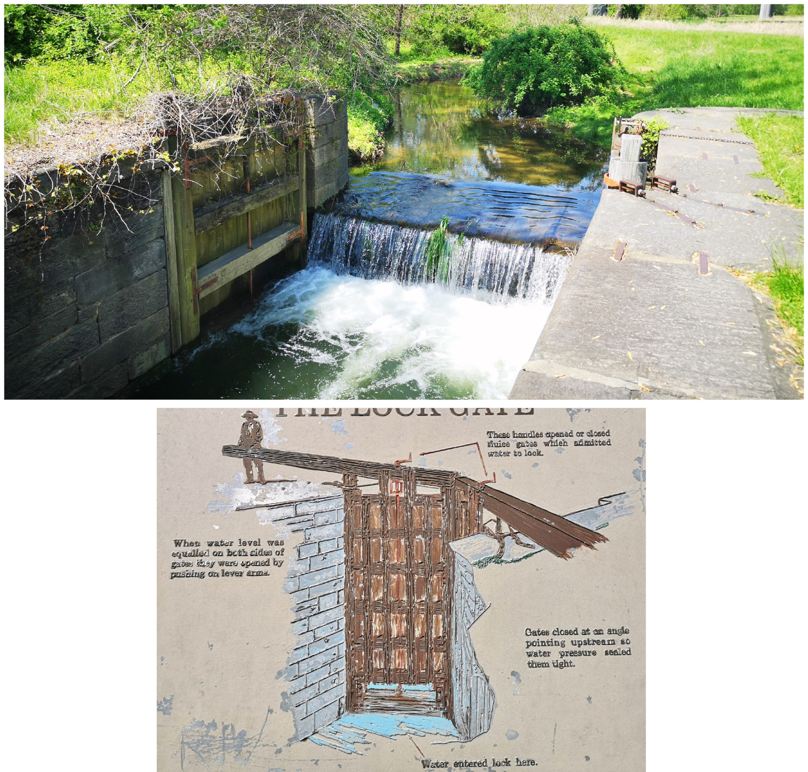
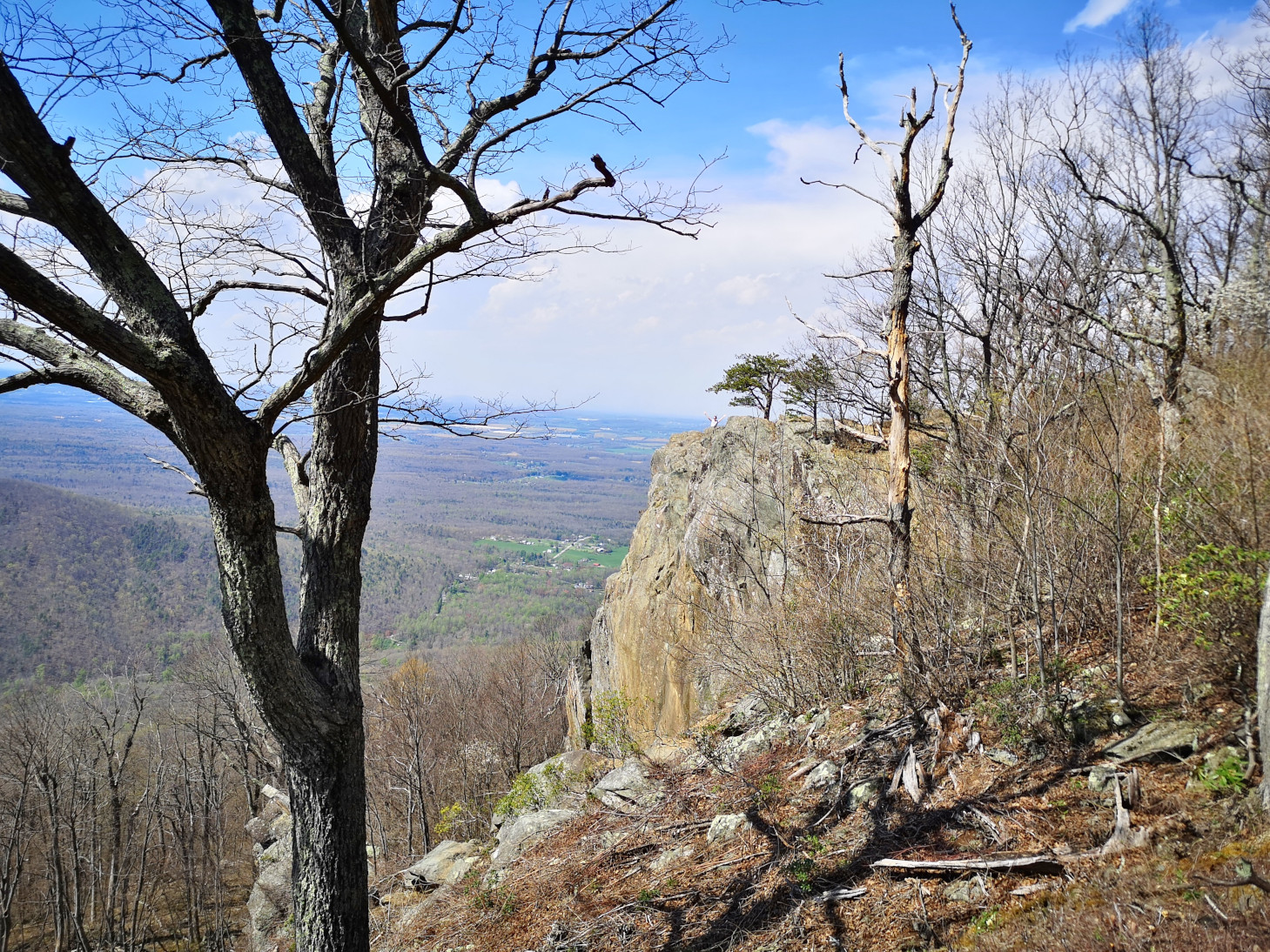
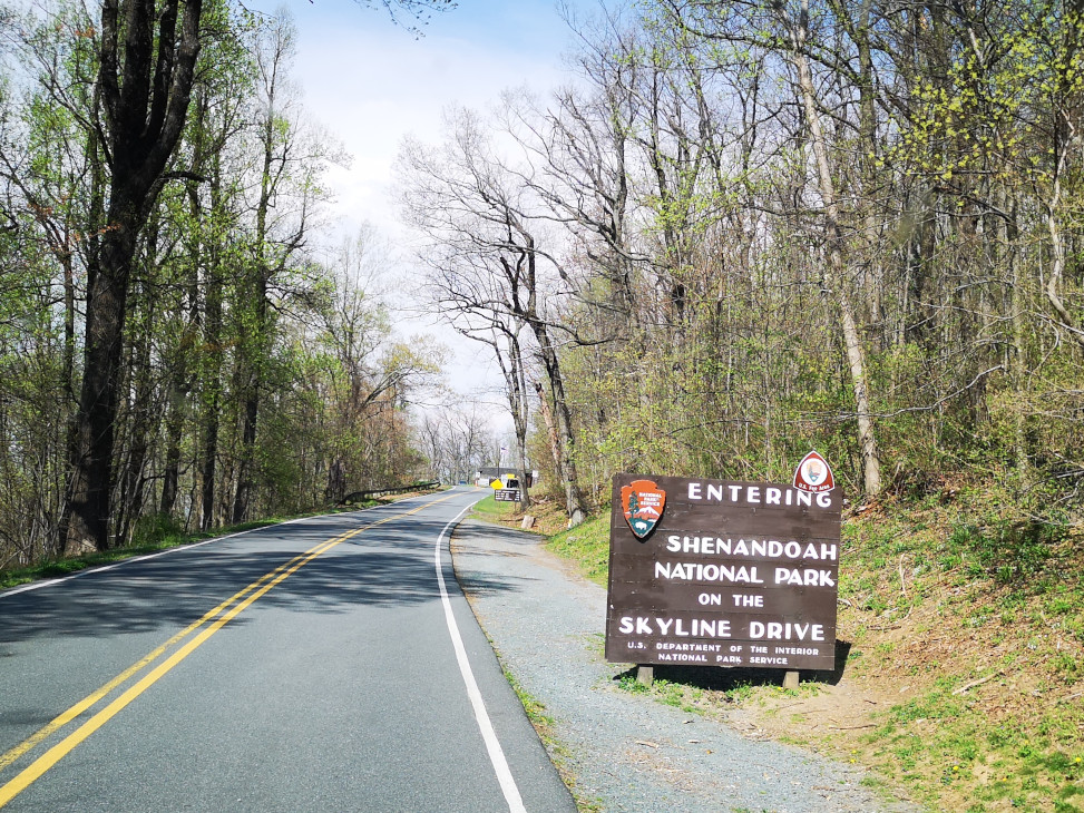
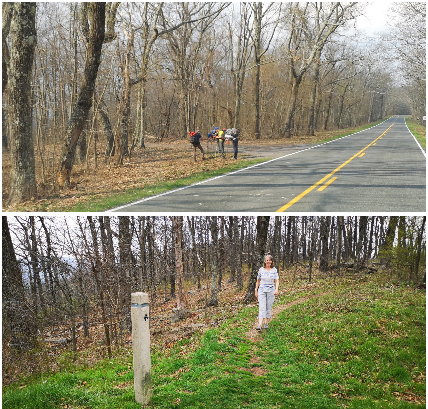
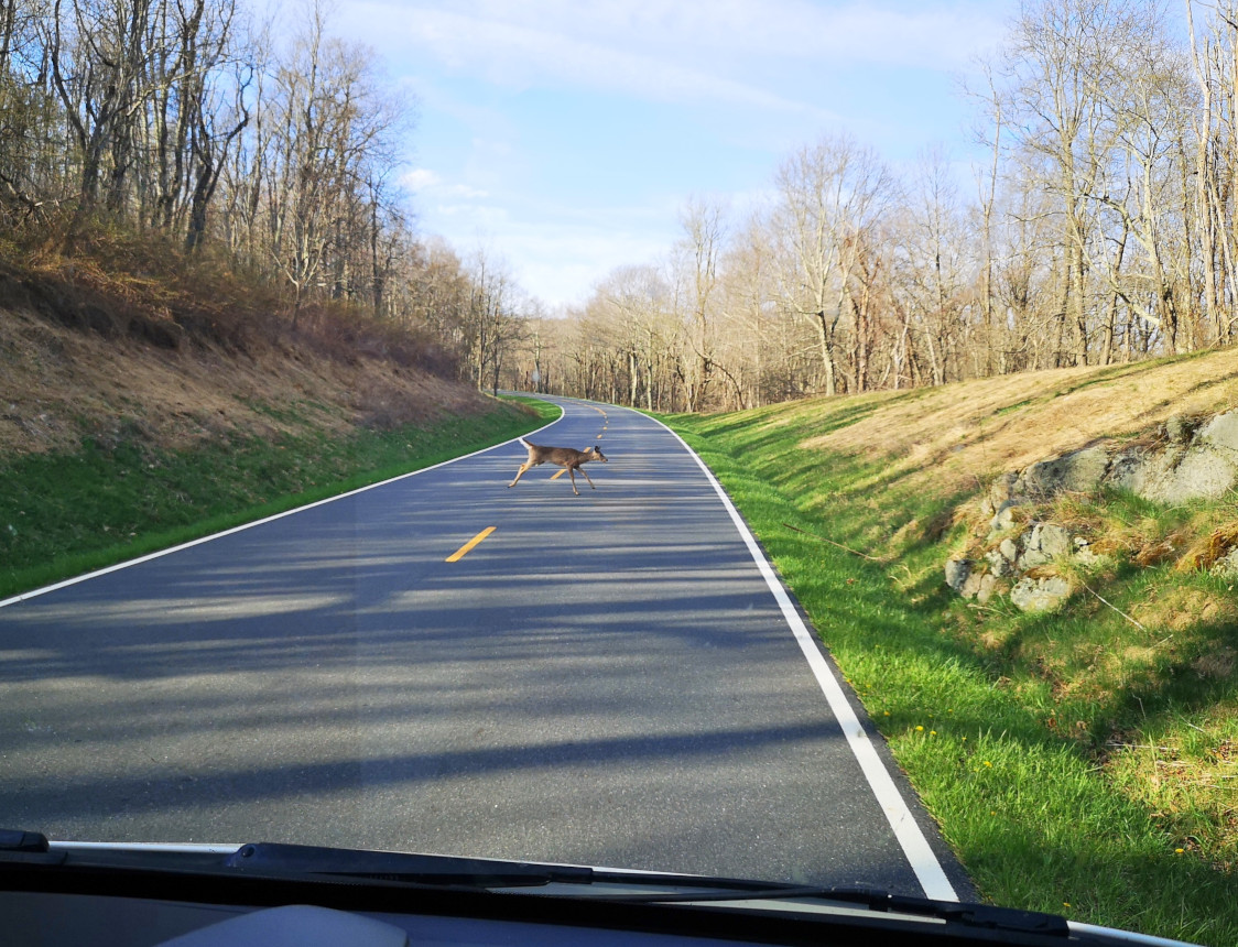
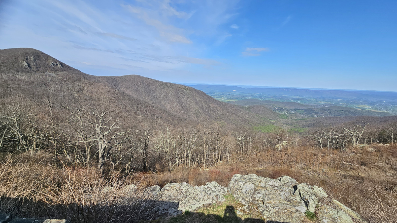
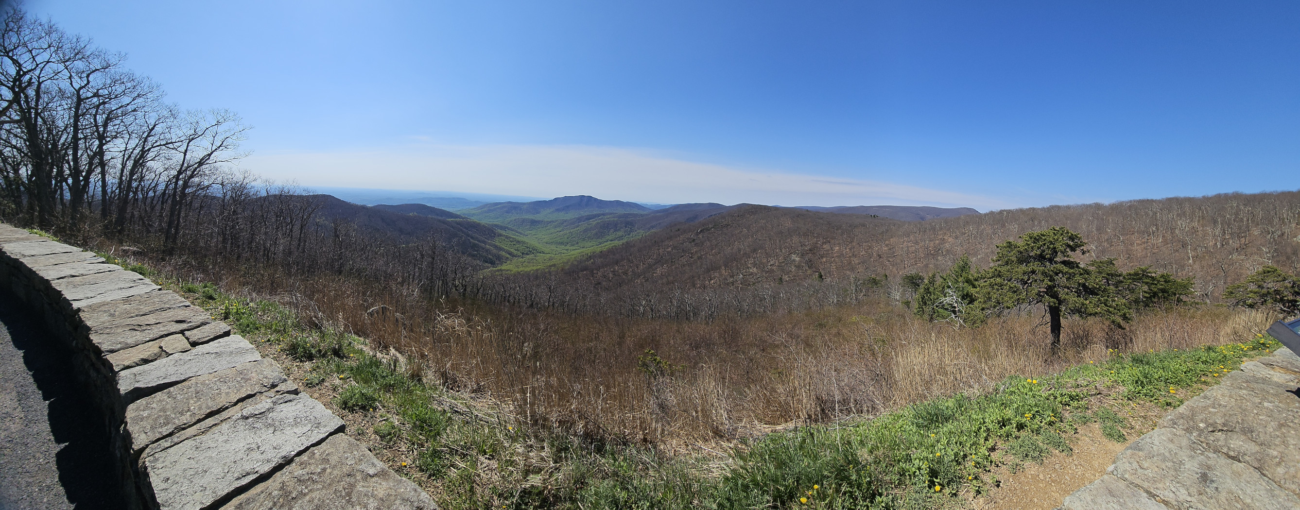
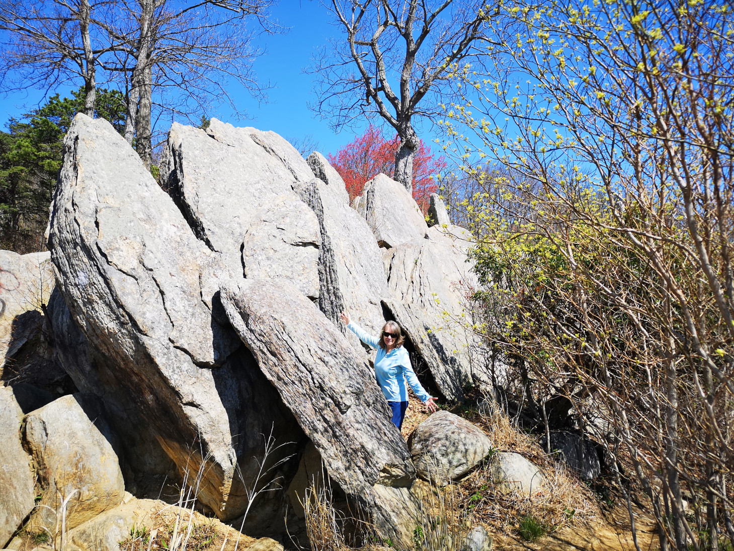
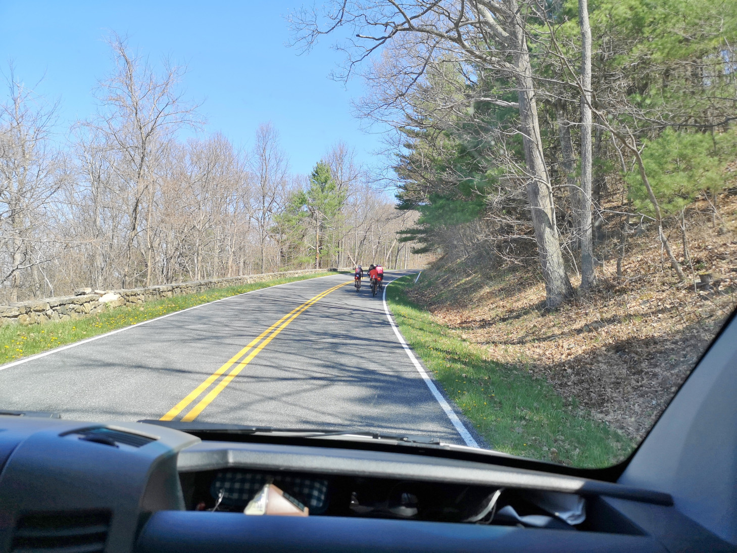
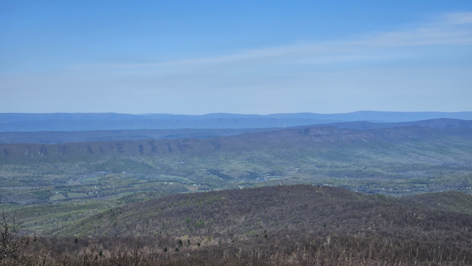
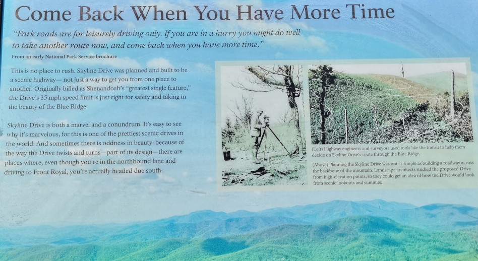
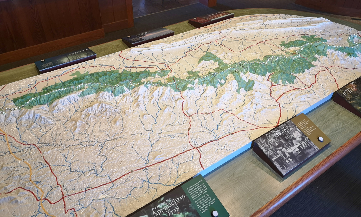
We covered a very large section of the Blue Ridge Parkway on this day. Our total for the day was 326 kms and 6.5 hours, very tiring for the driver. Again, it takes a long time due to the speed limit and the number of overlooks you stop at for the views. Our goal was to reach Big Meadow campground which was one of the very few that were open along the drive. The campground was so full that we were only able to book a no services site. All along the Parkway you see signs for the Appalachian Trail. It is a 2,200-mile hiking trail that extends from Georgia to Maine. It passes through 14 states and is listed as the longest hiking trail in the world. We saw lots of hikers doing either day hikes or with full backpacks camping along the route. On this section we reached the highest point in Virginia for the Parkway at 3950’. Your RV engine gets a good workout along the Parkway with all the up and downhill sections. Our next stop was James River where we went for a short hike under the bridge to the far side of the river where there was a lock system. The river is the largest in Virginia and therefore was a major transportation corridor. Canals and locks were built by the river to make it easier to transport goods by barge. When the railway expanded in the late 1800’s the canal system was no longer needed. On this day we finished the Blue Ridge Parkway and then entered Shenandoah National Park and Skyline Drive which is a 105 mile (169 km) National Parkway. We used our US National Park pass to enter this road as they charge a fee. The road speed limit is even slower at 35 mph and there are 75 overlooks along the road. Our weather started to cloud over a bit as we entered this road, so the views weren’t as spectacular. We stopped at the Point Overlook to climb down to the rock outcropping. As we approached Big Meadows campground we started to see lots of White-Tailed deer along the road.


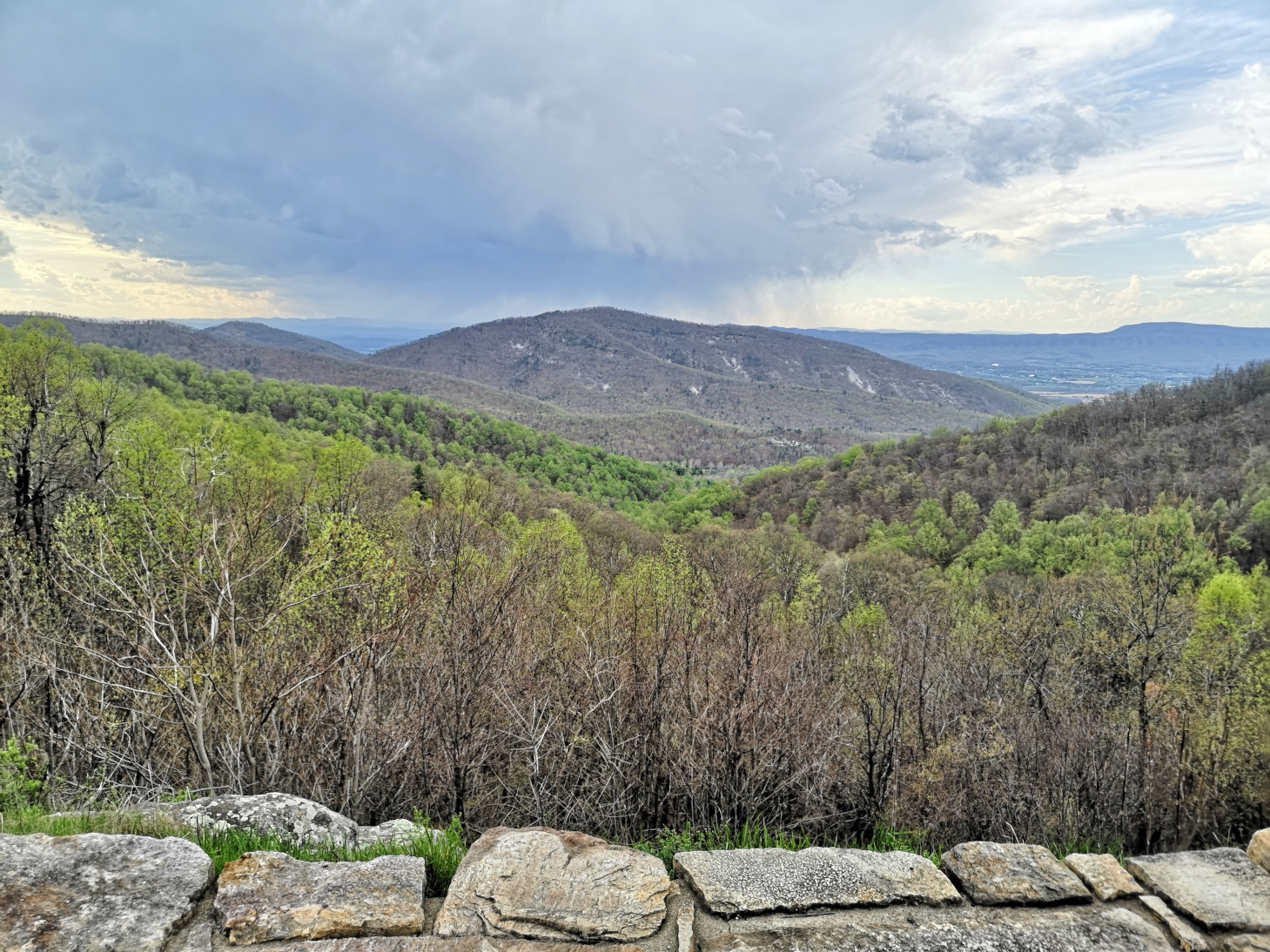
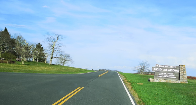
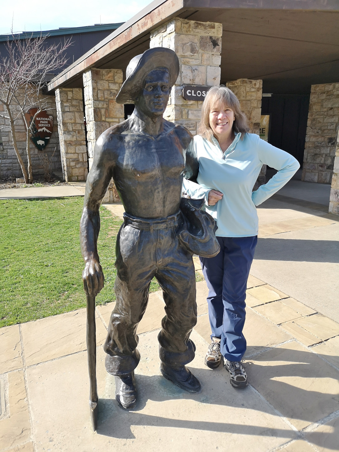
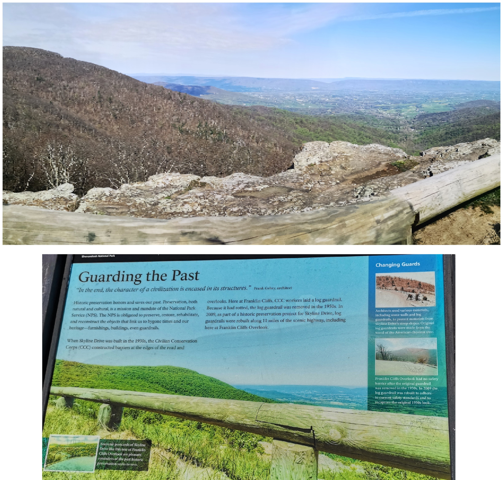
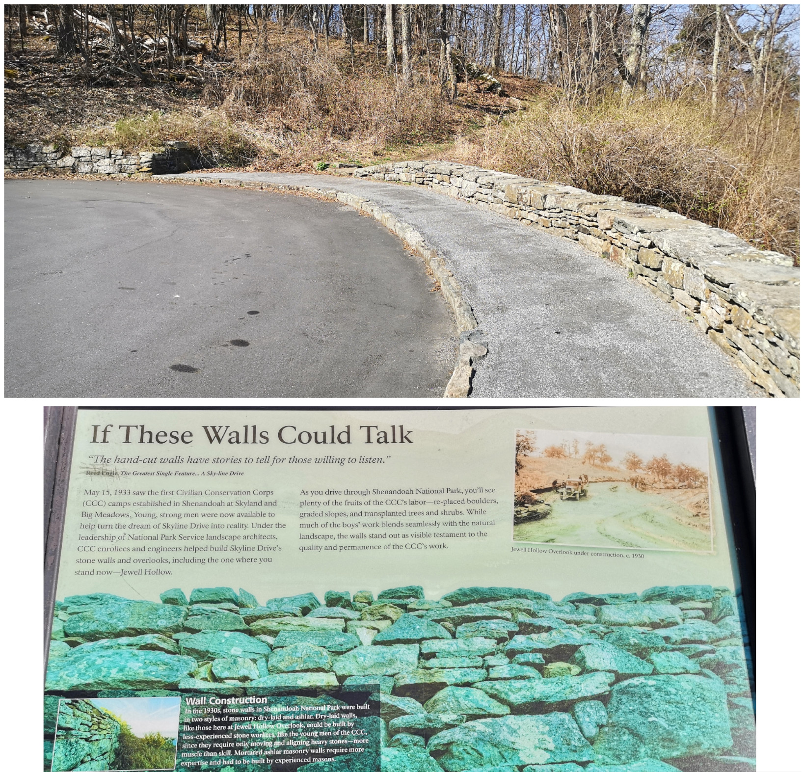
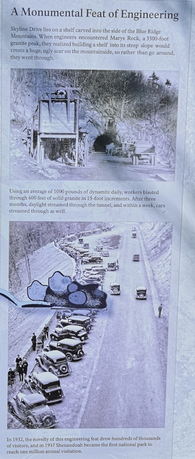
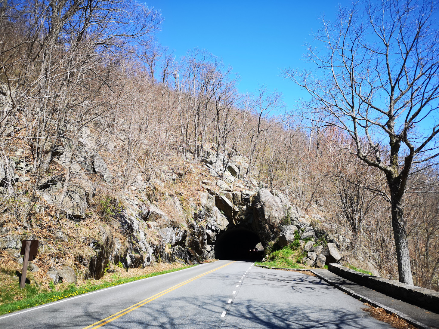
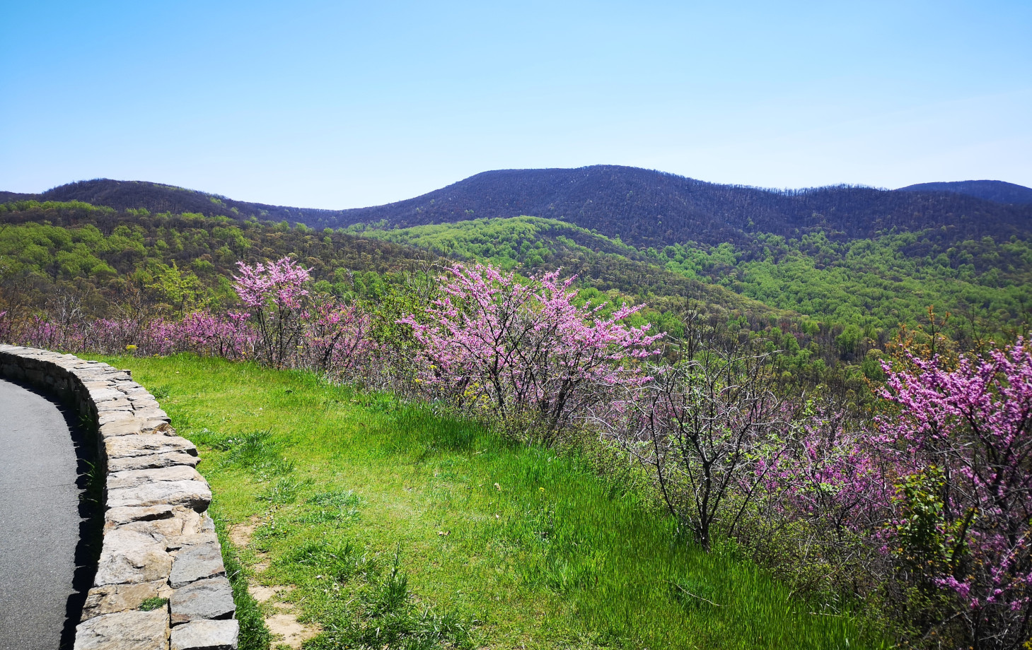
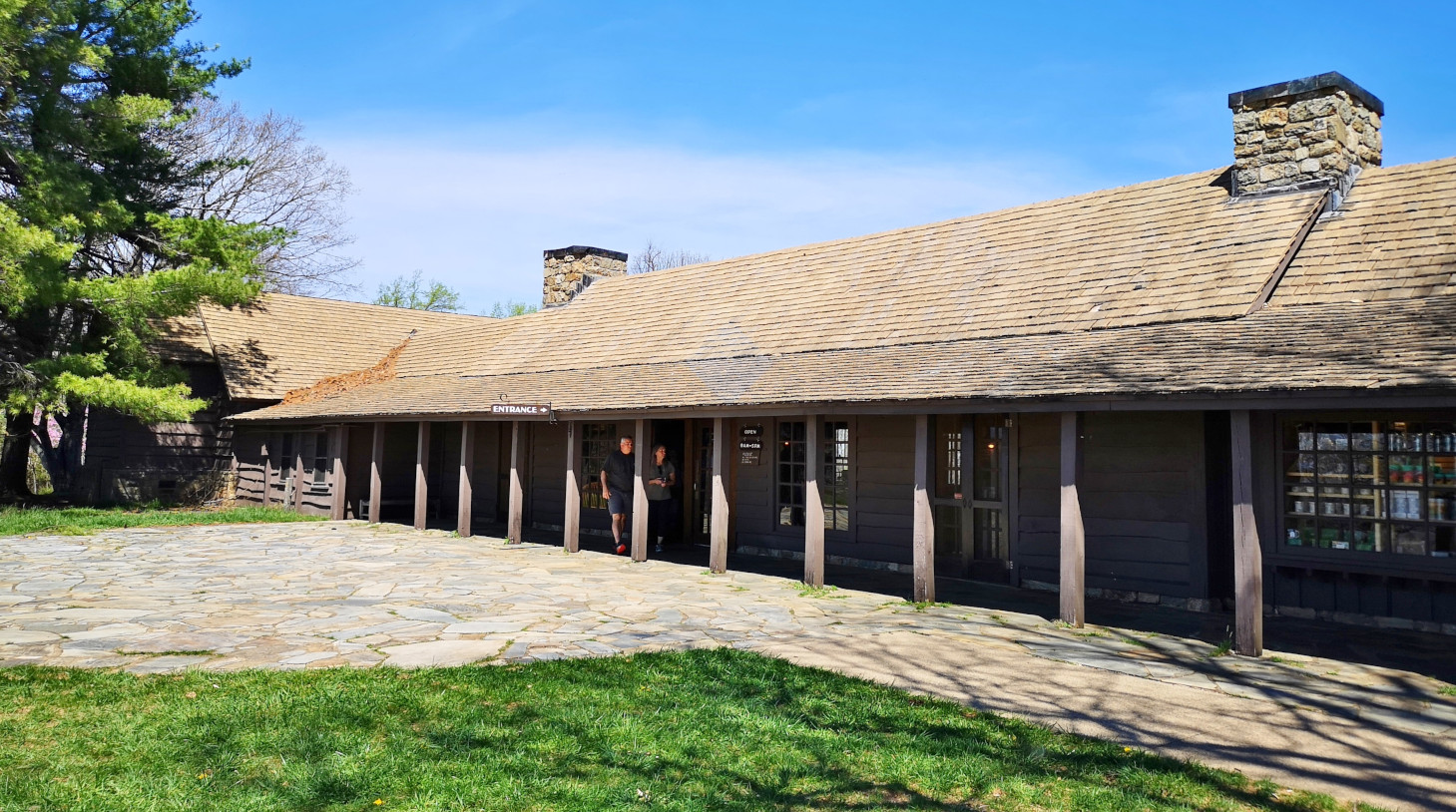
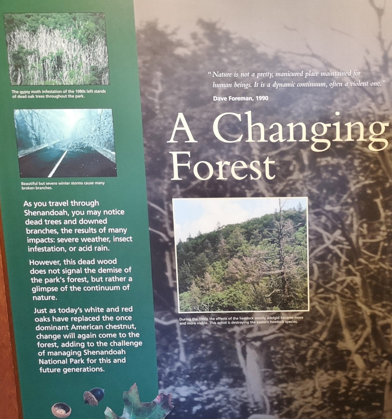
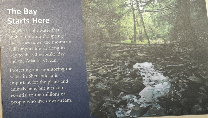
The next morning, we stopped at the Big Meadows visitor centre but unfortunately it was closed on Tuesday’s so we could only get the usual photo with Sharon by the hunky CCC statue😉 Then our drive continued on Skyline Drive with overlooks where we learned about the original wooden and stone guard rails that the CCC built and how they have done work to restore them to look as they did in the beginning. Next up was Marys Rock tunnel which we had been warned about as the height was 12’8” and our RV is 10’6”. In 1932 they used an average of 1000 lbs of dynamite daily to get through the 600’ section of granite. We did see lots of bicycle groups on Skyline Drive doing very fast speeds on the downhills and working hard on the uphill climbs. The very last overlook we visited had some gorgeous flowering trees along it. We then descended to the Dickey Ridge Visitor Centre where we stopped for lunch and looked at the displays and watched a movie about Skyline Drive. One interesting display board talked about how the water from the Shenandoah National Forest in turn flowed all the way downstream to Chesapeake Bay where our trip had begun 4.5 months before.

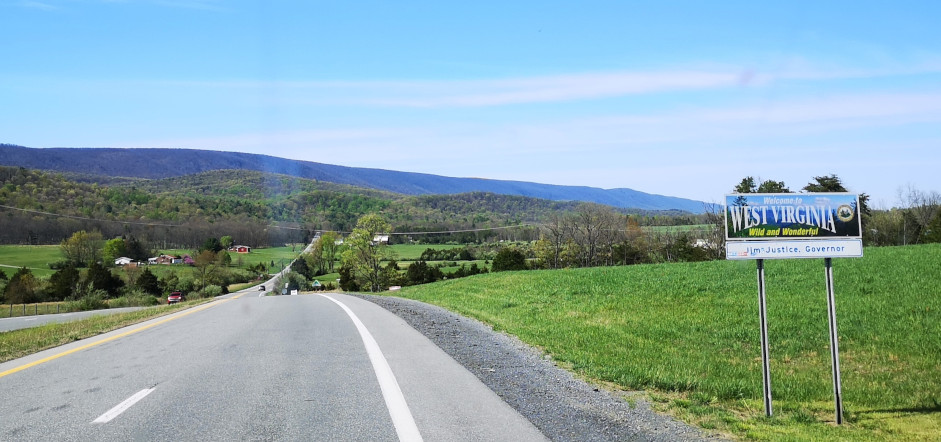
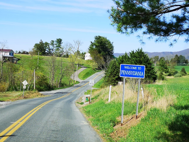
Once we finished with Skyline Drive, we were heading north through Virginia, West Virginia, Maryland, and then onto Cowans Gap SP in Pennsylvania. This total drive day was a bit shorter at 245 kms and 5 hours. After we arrived, I enjoyed the view from our campsite while Sharon did a short walk by the lake. There was a large group of Mennonites in the park pavilion celebrating something. This park had just opened 2 days before we got there for the season.


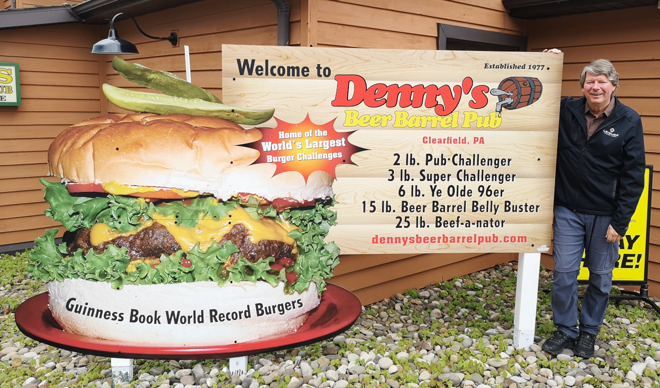
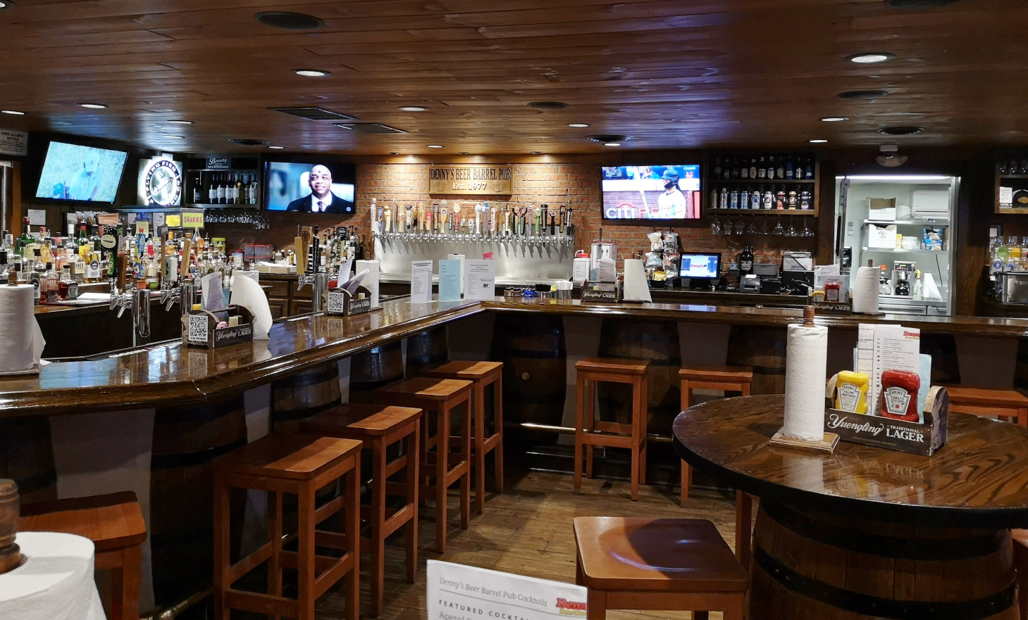
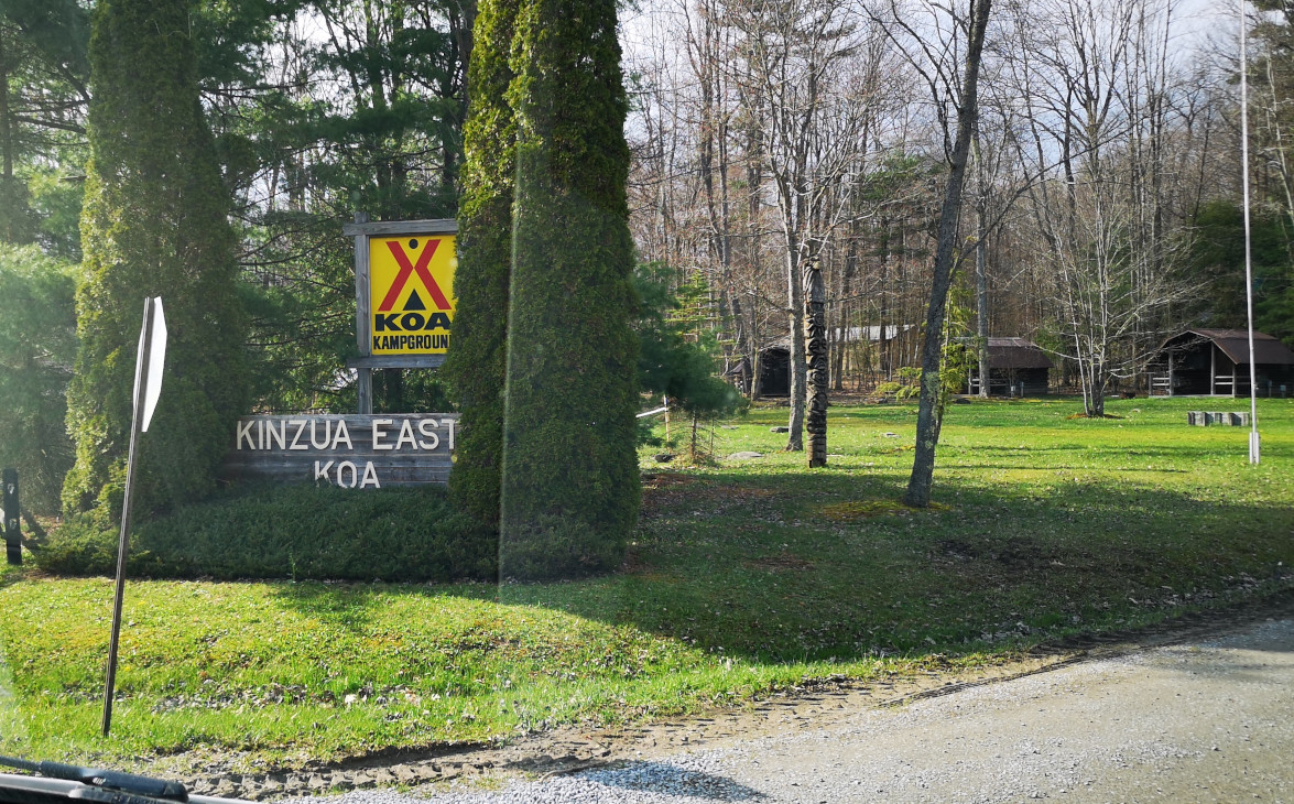
The next day north would cover 284 kms (4.5 hours) to reach Kinzua East KOA in Pennsylvania. Our lunch stop was an interesting one at Denny’s Beer Barrel Pub in Clearfield, where you could get your photo on the wall if you ate anywhere from a 2 lb Burger all the way up to a 25 lb Burger! I was more interested in the craft beers and tried the Ellicottville Platter’s Chocolate Hazelnut Porter and the Robin Hood Brawling Barrels Oatmeal Stout (the porter was much better). For lunch I had the Maple Bourbon Brown Sugar burger and Sharon had the Scallops and we finished off with the Chocolate Peanut Butter pie. This turned out to be a great lunch stop. We were very unimpressed by the Kinzua East KOA. It seemed like they had just reopened for the season and the campground was a mess. We had just chosen this park as we wanted a sewer connection so we could clean out our tanks before returning home the next day.

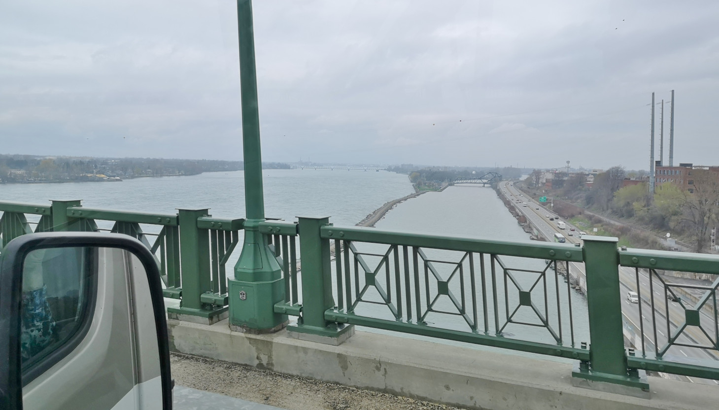
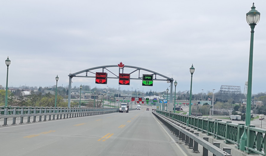
On our final drive day, we drove through the skiing town of Ellicottville NY and on to the Fort Erie border crossing, which was very smooth. We took the QEW and then eventually split off to take Highway 6 north. Since this was one of our biggest driving days of the whole trip at 479 kms and 6 hours and 35 minutes, Sharon helped by driving for about 1 hour along Highway 6. All was good when we reached our home and put Plankton back in the garage.

RV Trip 12 was another very successful one, covering 9,062 kms (RV Trip 12 Full Map) and 1 week short of 5 months. Our favourite destinations of this trip included the Outer Banks of North Carolina and Providence Canyon in Georgia (you could search back for those blogs if you missed them). In terms of firsts Sharon had her first ever Helicopter ride in Myrtle Beach. Our RV worked like a charm with the only issue being our 30 Amp electrical connection which we had to get fixed. We’re back home now so it’s time to plan for the next travel adventure. We hope you have enjoyed following along with our travels as much as we’ve loved all the new locations and experiences. Until the next adventure, safe travels wherever you may go.
